
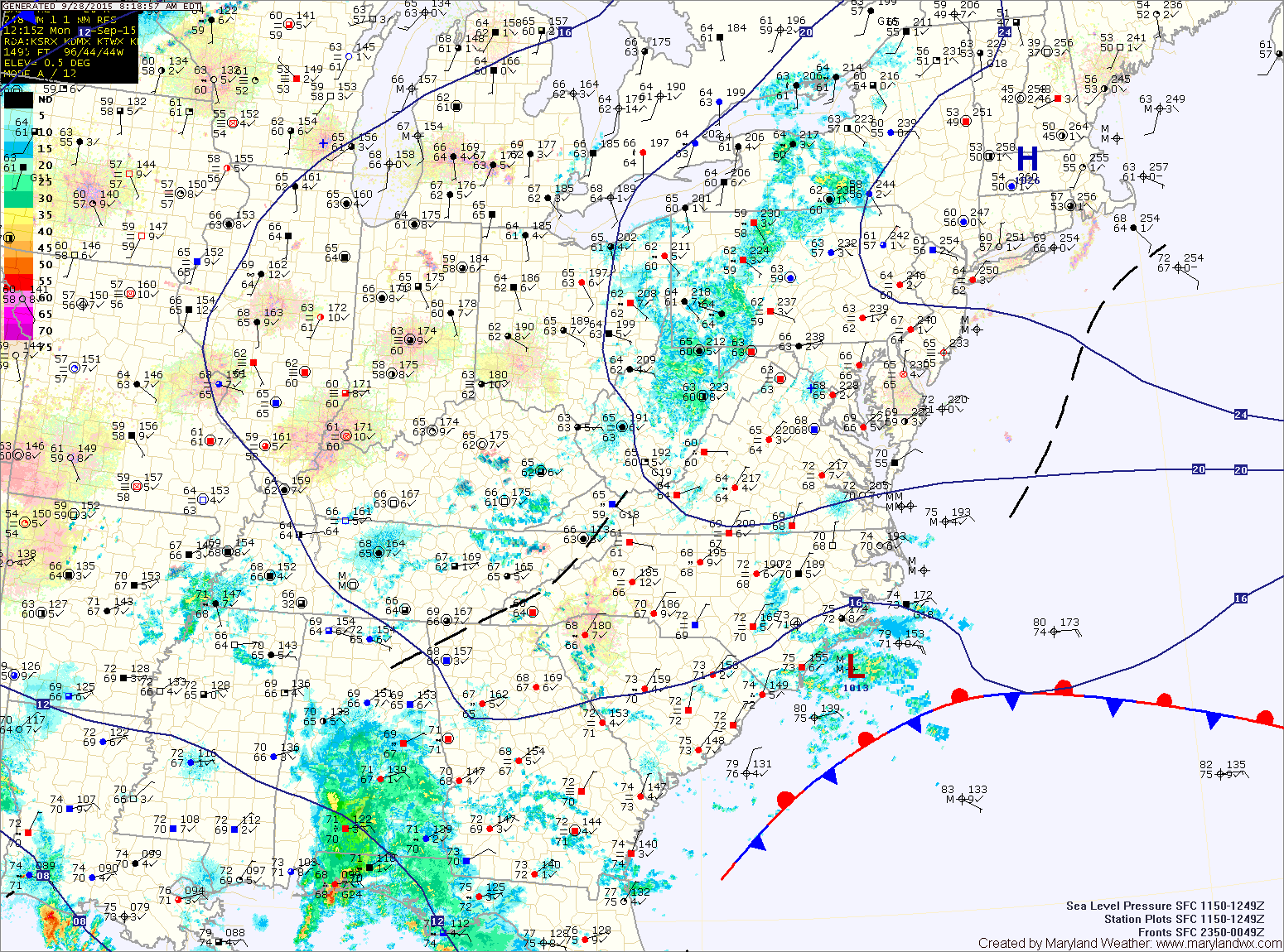
Continued easterly flow around high pressure to our north and low pressure to our southeast has caused fog to develop this morning. The fog will lift this morning but we will remain generally cloudy into the afternoon and evening. Additionally, there is a slight chance for sprinkles or showers during the afternoon hours. Highs today will be in the upper 70s.
The front will slide into the area tomorrow night with showers becoming likely during the overnight and into Wednesday morning. The heaviest rainfall will be over the mountains of western Maryland where 1-2″ is possible. Elsewhere, rainfall totals of .25-.50″ are possible.
The rain will taper off during the afternoon hours on Wednesday as the front clears the state by Wednesday night. Highs will be in the mid to upper 70s.
The front will likely stall out near of just off of the coast on Thursday. A disturbance may ride up the coast along it, possibly spreading more showers into the state Thursday. Highs will be in the mid 60s.
Yet another disturbance may bring more showers late Friday and Saturday before we clear out on Sunday. Highs will remain in the mid 60s through this period.
Stay up to date with storm information on your favorite social media site!
Follow me on Twitter, Facebook and Google+!