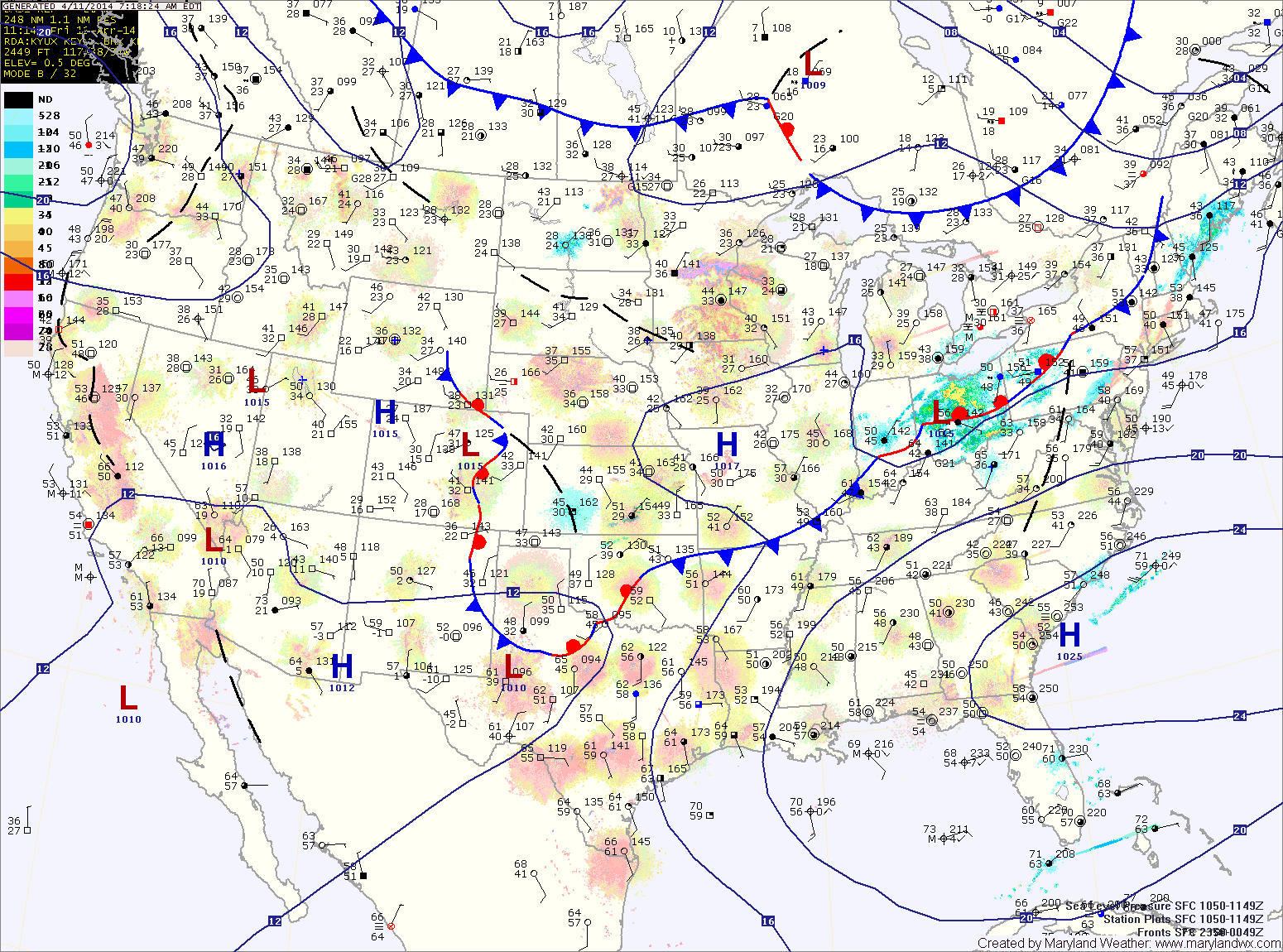
Current Surface MapYesterday’s cold front is well off the coast and cold high pressure is moving into the region. As a result today will be mostly sunny, breezy and colder with highs only topping out around 50 degrees.
Another cold night on tap tonight, with lows dropping into the low 30s.
Winds will shift around to the east tomorrow which will cause clouds to increase. Highs will be in the mid 50s.
Friday will be generally cloudy, with highs in the mid to upper 50s.
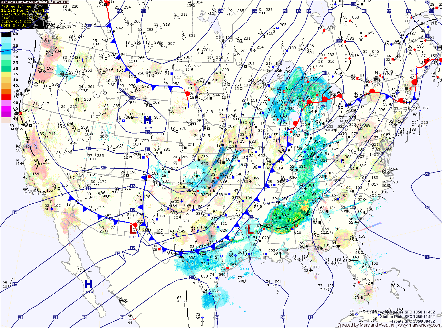
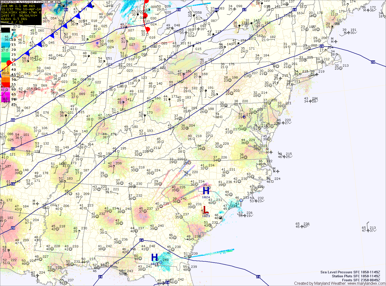
Current Surface MapA FREEZE WARNING has been issued for all of central and eastern Maryland.
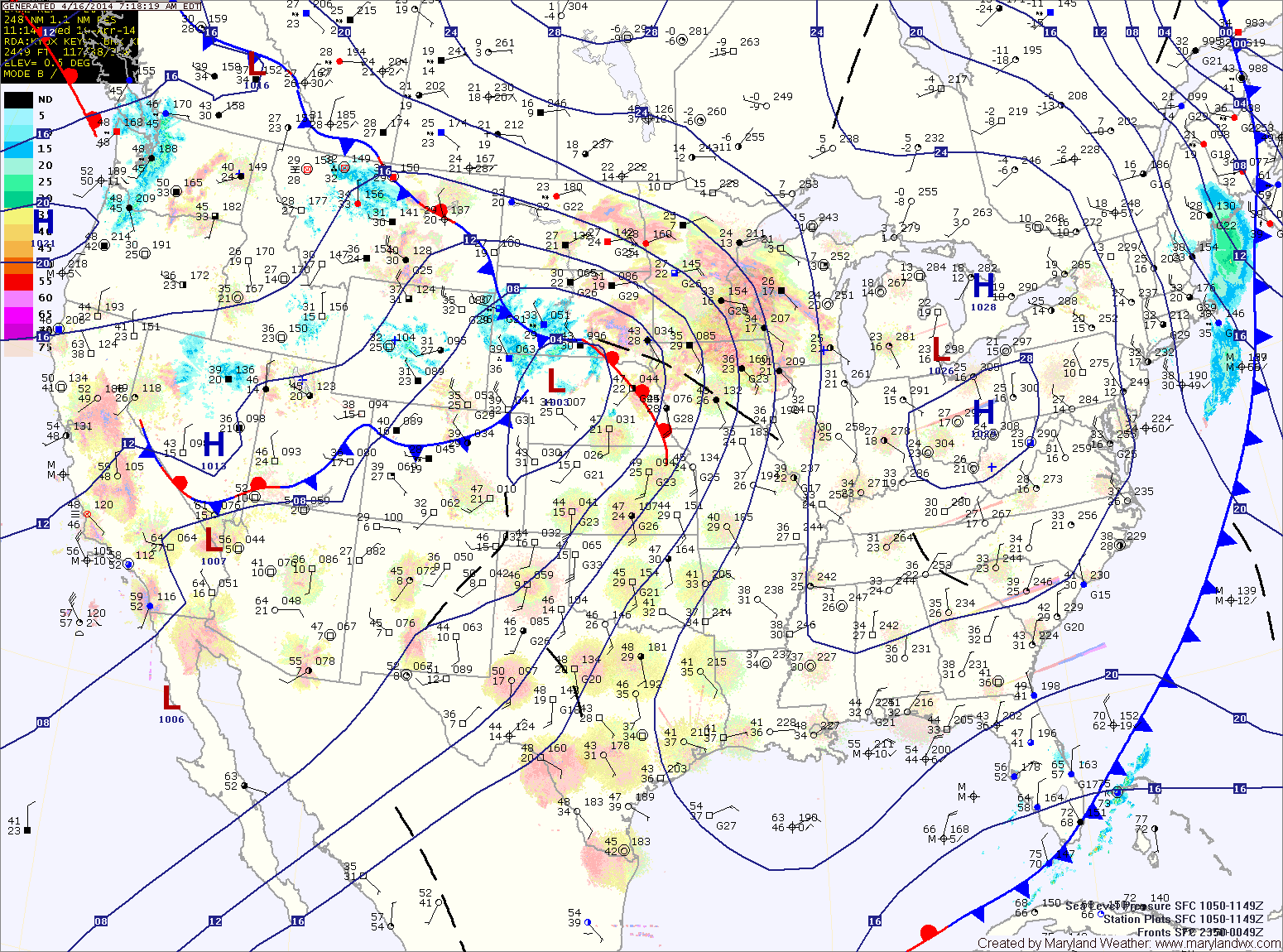
A strong cold front is moving through, spreading showers and thunderstorms into the area. The showers and storms will continue into this evening before tapering off after dark. As colder air moves in behind the front, the rain may end as a brief period of snow, mainly north and west of the cities. Highs today will reach the mid to upper 60s before falling this afternoon.
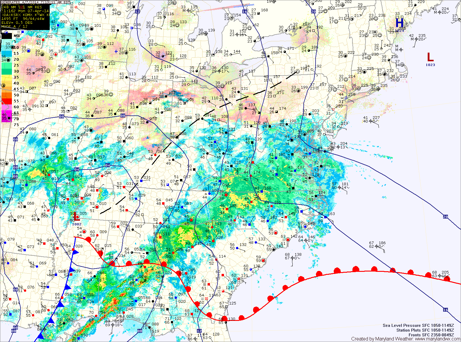
Current Surface MapClouds will increase today in advance of a cold front moving in from the west. It will also be windy, with highs around 80.
The front will move closer tonight, spreading showers into the area after sunset.
Showers will continue tomorrow with locally heavy rainfall possible. Thunder and gusty winds cannot be ruled out, especially tomorrow afternoon. Highs will be in the upper 60s before temperatures begin to fall during the late afternoon.
The rain will continue tomorrow night and as colder air moves in, it may end as a brief period of snow, especially north and west of the cities. No accumulation is expected. Lows will reach the low 30s.
Current Surface MapA cold front and area of low pressure will move towards the area today. As a result it will be breezy and warm with increasing clouds. Highs will be in the low 70s.
Rain will overspread the area this evening and last through the night. The front will clear the area tomorrow morning as high pressure builds back in.
Tomorrow will be mostly sunny with highs around 70.
Sunday will feature a few more clouds than Saturday but will also be warmer. Highs will push into the mid to upper 70s.
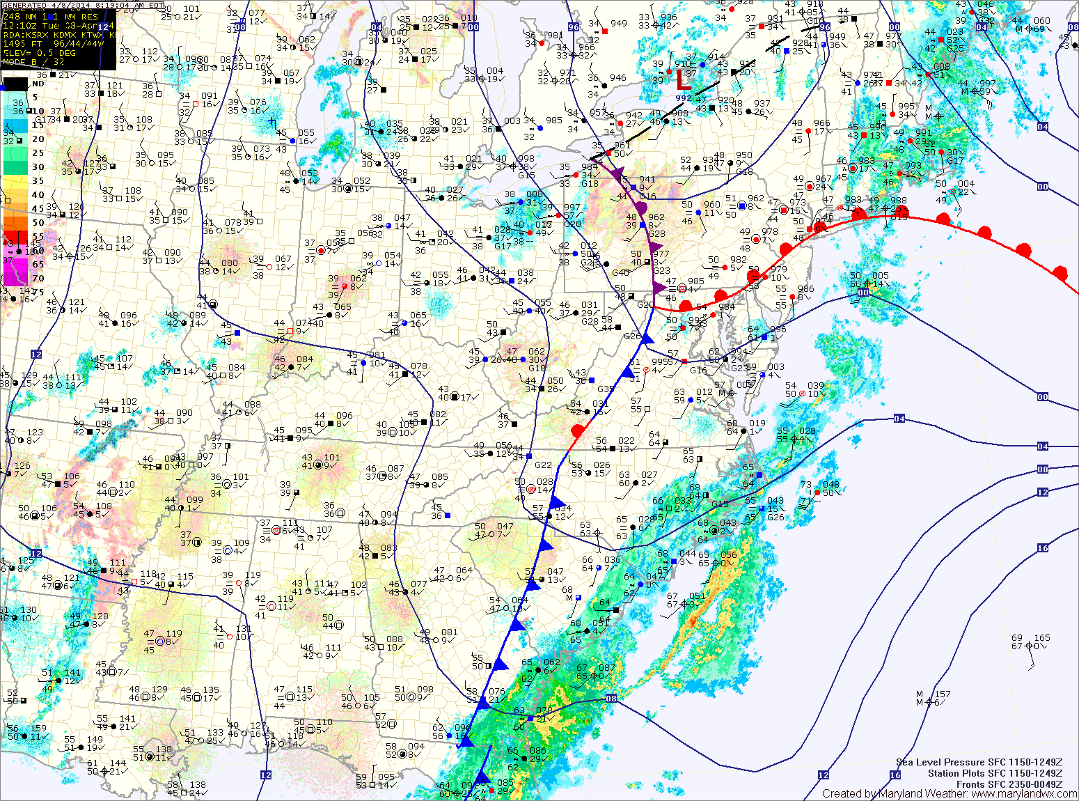
Current Surface MapHigh pressure moving off the south east coast will provide another sunny and warm day today. Highs will be around 70.
A cold front will approach from the west tomorrow. At the same time, an area of low pressure is expected to develop along the front. These two features will spread showers into the area late tomorrow morning into tomorrow afternoon.
Rain chances will increase tomorrow evening, into tomorrow night as the area of low pressure moves through. Highs tomorrow will be in the upper 60s to around 70.
The system will clear the area early Saturday morning and skies will clear by afternoon. Highs will be in the low 70s.
Current Surface MapHigh pressure will provide two very nice spring days today and tomorrow. Highs will be in the mid 60s today and upper 60s tomorrow.
A weak cold front will approach on Friday, touching off a chance of showers. An area of low pressure will likely form along the front, causing a greater chance of rain Friday evening and night. Highs on Friday will be warmer, likely into the low 70s.
The front will pass through early Saturday morning, ending the rain chances. Clouds will dissipate during the day and highs will be around 70.
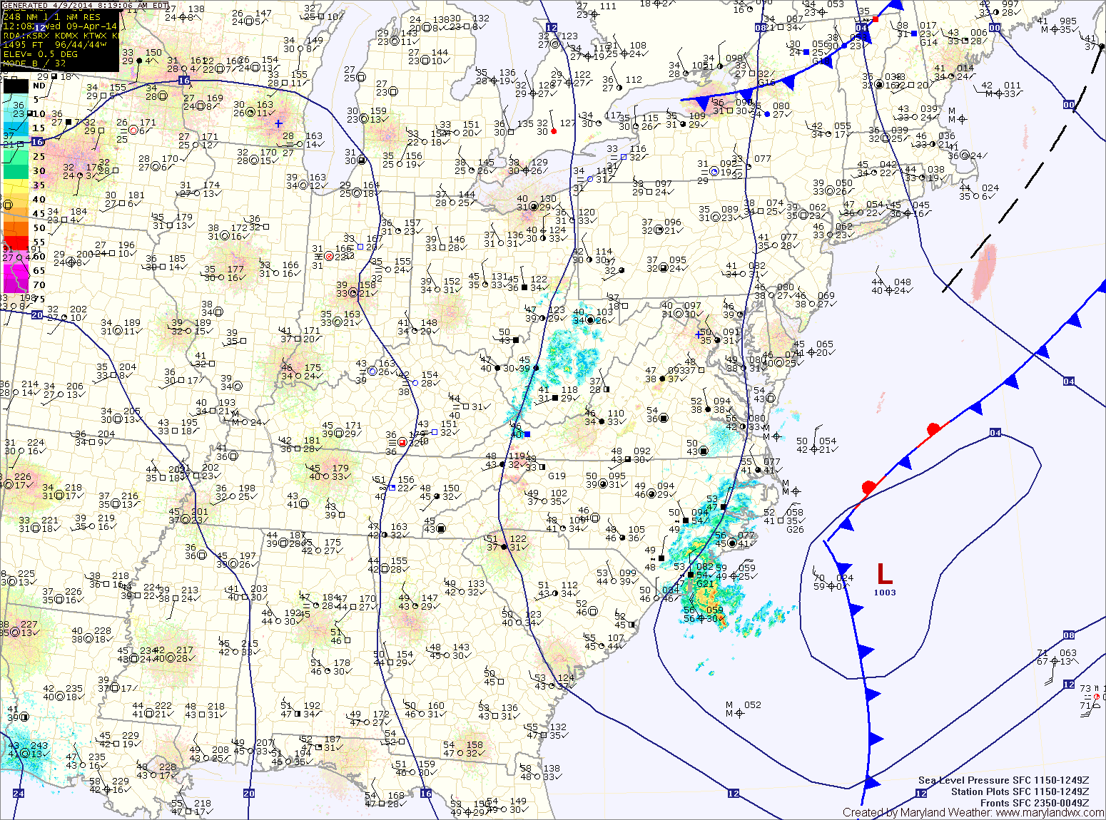
Current Surface MapHigh pressure will start to build into the region today as low pressure moves away. This will result in decreasing clouds and breezy conditions today. Highs will top out in the mid 60s.
Tomorrow and Thursday will be mostly sunny with highs in the mid to upper 60s each day.
An area of low pressure and a cold front will approach on Friday. Expect showers to develop during the day, increasing in coverage and intensity Friday night before clearing the area Saturday morning.
Highs on Friday will be in the upper 60s to low 70s.
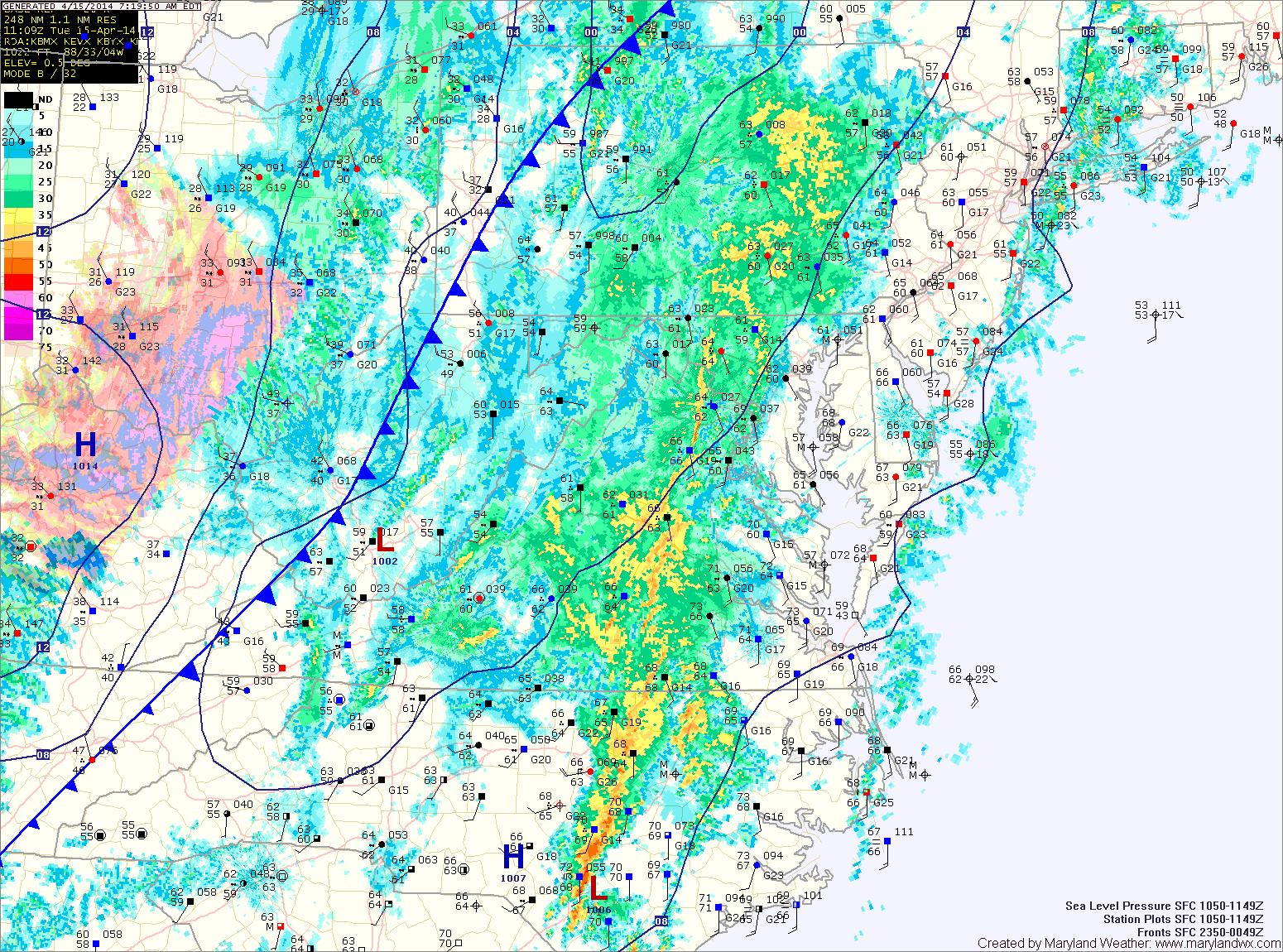
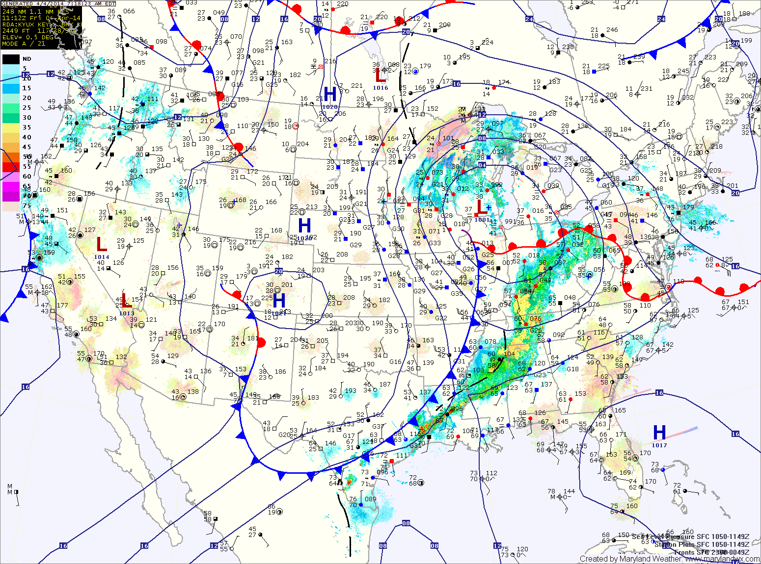
Current Surface MapAn area of low pressure is spreading rainfall into the area this morning. The rain will continue through today and tonight, tapering off tomorrow morning. It will also be breezy today, with highs in the low to mid 50s.
After some early morning showers, skies will gradually clear through the day tomorrow as afternoon highs reach the low 60s.
Wednesday and Thursday will be mostly sunny with highs in the low 60s.
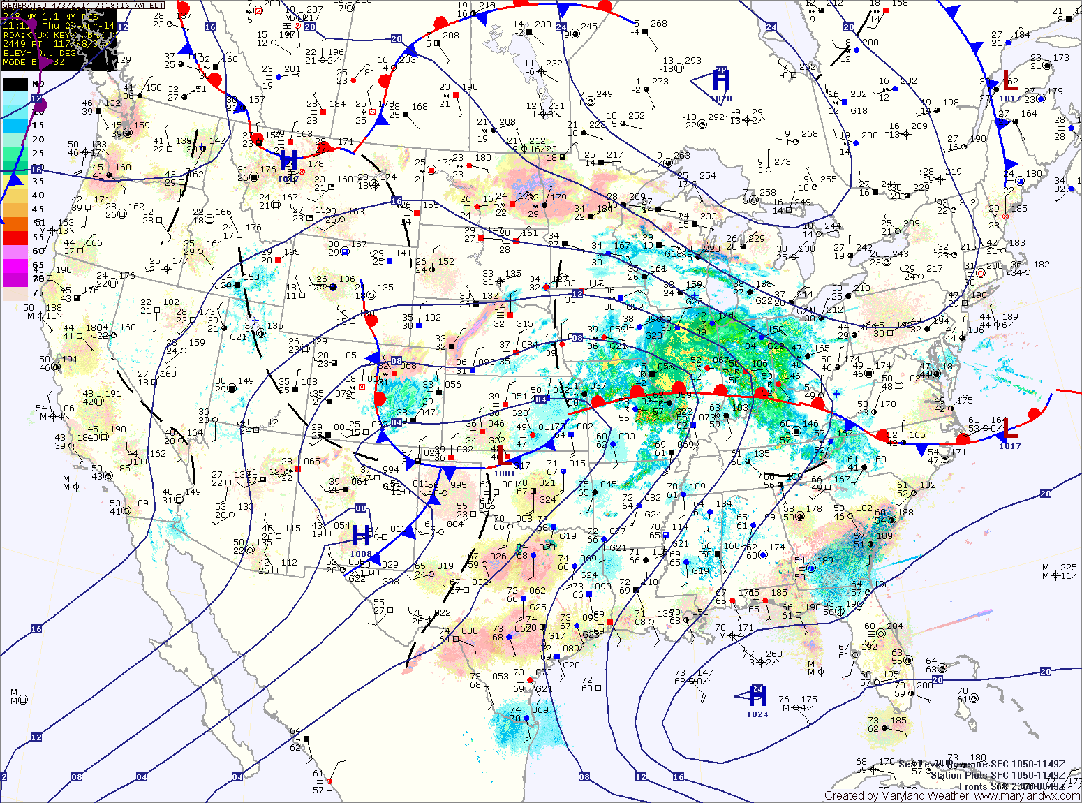
Current Surface MapA storm system moving through the Great Lakes region will push a cold front through the area tonight. Ahead of the front, scattered showers are likely and a thunderstorm can’t be ruled out. The best chance for rain will be late this afternoon and evening. Highs will be in the upper 50s to low 60s.
The front will clear the area tonight allowing drier air to move in for the weekend. Tomorrow will be mostly sunny but breezy with highs in the low 60s.
Sunday will also be mostly sunny with less wind. Highs will be around 60.
Current Surface MapA stalled out front just to our south will provide a path for several disturbances to move through the region. Expect cloudy skies today with isolated showers. Highs will be around 60.
One disturbance will move through this evening and tonight bringing a round of rainfall. Another system will form and move by to the northwest tomorrow, dragging a cold front through the area tomorrow evening. Expect more showers tomorrow into tomorrow night. Highs will be in the upper 50s to low 60s.