
The front will clear the area tonight allowing drier air to move in for the weekend. Tomorrow will be mostly sunny but breezy with highs in the low 60s.
Sunday will also be mostly sunny with less wind. Highs will be around 60.
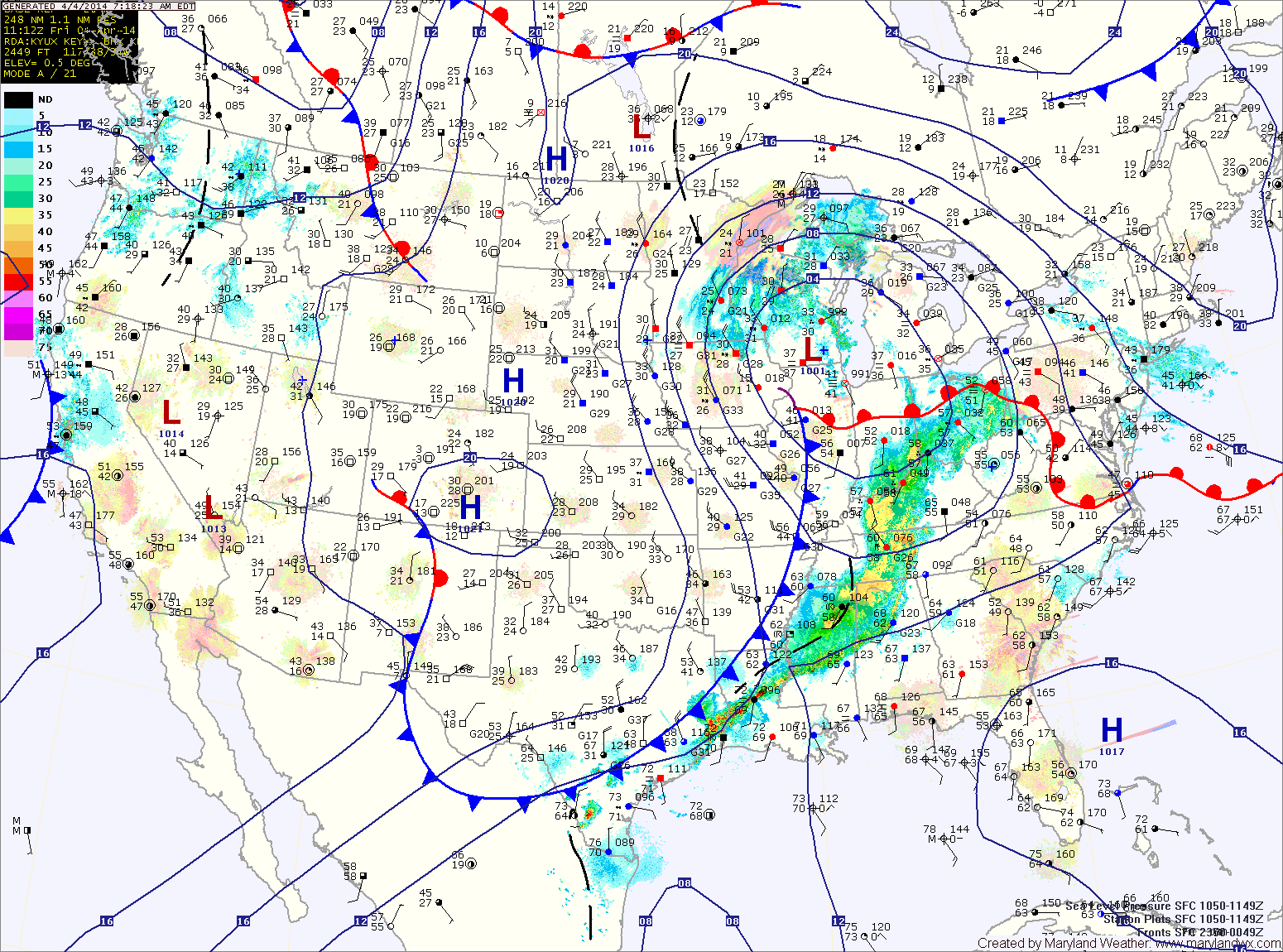
Another storm system will bring rain to the area Monday. The rain will continue Monday night and into Tuesday morning until the associated cold front clears the area. Highs on Monday will be around 60.
Skies will begin to clear Tuesday, setting up a dry stretch of weather that will last through the remainder of the work week. Highs on Tuesday will be in the low 60s, cooling back into the 50s on Wednesday before warming again Thursday and Friday.
Yesterday’s Weather Station Stats:
High Temp: 65.2°
Low Temp: 47.9°
Rain: 0.05″