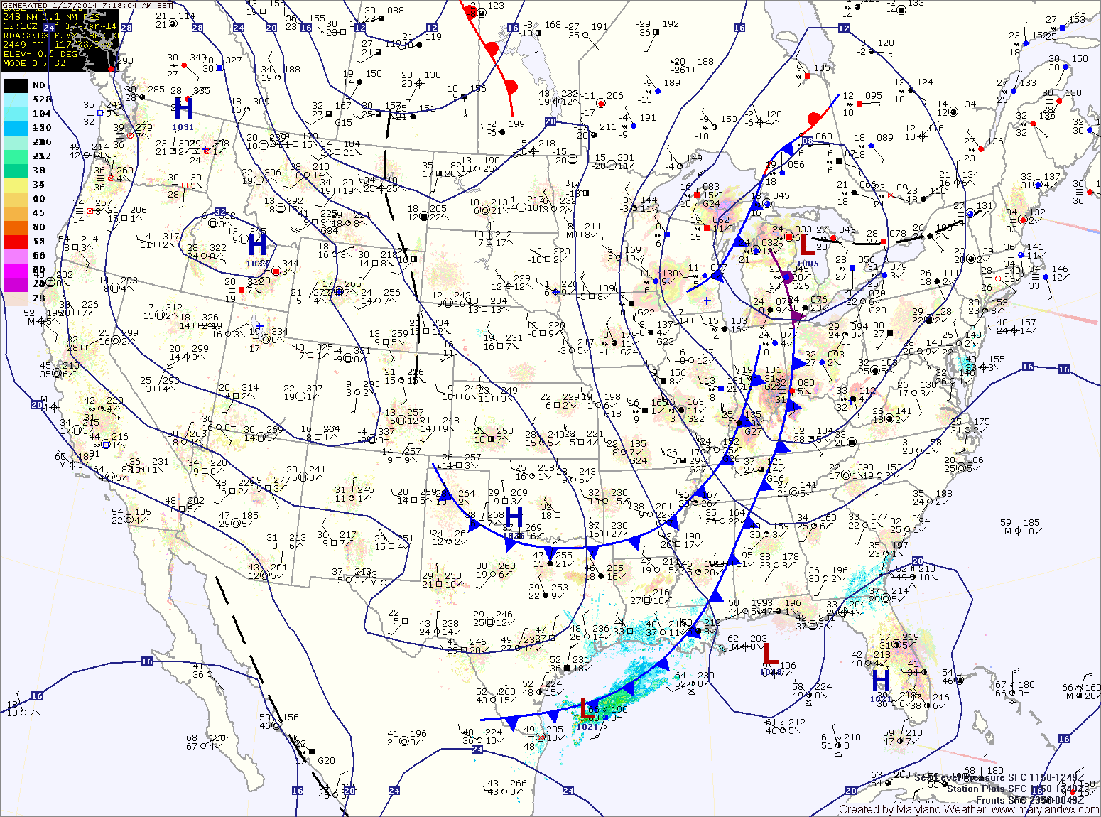
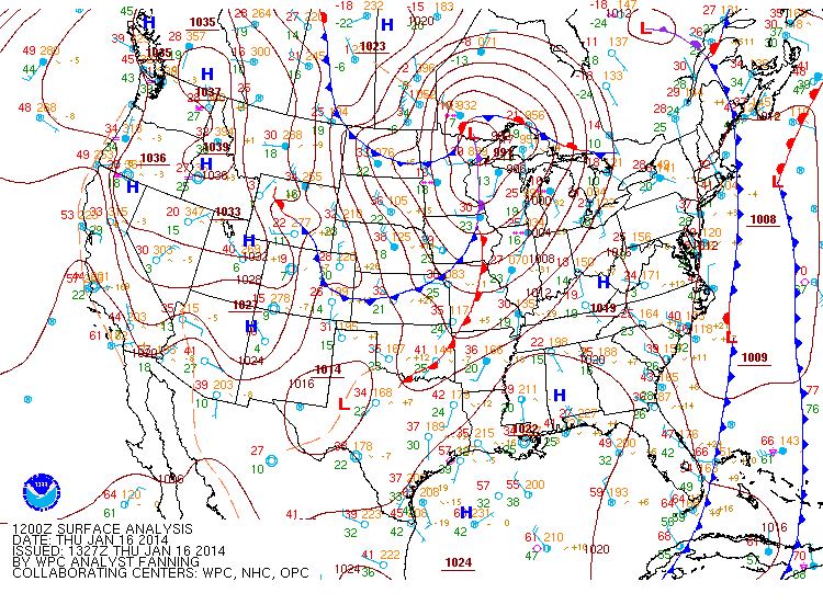
Sunny and milder today; Accumulating snow likely tomorrow

Current Surface Map
Current Surface Map
With high pressure to our south, today will be mostly sunny and milder with highs around 50.

Clouds will increase tonight as an arctic cold front moves towards the area. An area of low pressure will develop along the front as it moves through. The low will pass by to our south, bringing accumulating snowfall to the area tomorrow into tomorrow night.

A Winter Storm Watch has been issued for the entire state. Accumulations over 5″ are possible, especially south and east of I-95.

Mostly sunny today; Snow showers tonight and tomorrow night

Current Surface Map
Current Surface Map
Today will be mostly sunny with highs in the mid 40s.

A cold front will move through tonight bringing an area of light snow showers with it. A dusting is possible in most areas as it crosses during the overnight.

Tomorrow will end up mostly sunny with highs in the mid 30s.

Another weak area of precip will move though tomorrow night, bringing another chance of light snow or flurries. After that moves through, expect another mostly sunny day on Sunday with highs in the upper 30s to around 40.

Becoming Mostly Sunny Today

Current Surface Map
Current Surface Map
Clouds will continue to clear out today leading to mostly sunny skies this afternoon with highs in the low to mid 40s.

Clouds will increase again tomorrow as another weak system approaches from the north west. This system will bring another round of light snow showers tomorrow night into Saturday morning. Highs tomorrow will be in the mid 40s, highs on Saturday will be in the upper 30s.

Another weak system may bring another round of light snow showers Saturday night.

A quieter stretch will begin on Sunday with mostly sunny skies expected through Tuesday with highs in the mid 40s each day.

Foggy this morning; Snow Showers possible tonight

Current Surface Map
Current Surface Map
Areas of dense fog have developed across the state this morning and a Dense Fog Advisory is in effect for central Maryland and most of the eastern shore. In some areas, temperatures are at or below freezing leading to freezing fog and icy conditions. The fog should burn off over the next few hours leading to partly sunny skies this afternoon. Highs will be in the mid 40s.

A weak cold front will cross the area tonight as low pressure develops off shore. In between the two, an area of light snow will likely develop. This area will likely be focused across Virginia, but flurries or light snow showers are possible across the state during the overnight hours into tomorrow morning. Little to no accumulation is expected.

Tomorrow will feature clearing skies with highs around 40.

Showers into the Afternoon Today

Current Surface Map
Current Surface Map
A cold front is approaching from the west and is spreading showers through the area this morning. The showers will continue into this afternoon before the front crosses. Highs will be in the low 50s.

A weak system will bring a chance of light rain tomorrow, changing to light snow tomorrow night. The precip will be very light and nothing more than flurries to perhaps a dusting on grassy surfaces is expected. Highs tomorrow will be in the upper 40s.

Thursday will be mostly sunny and breezy with highs in the upper 30s to near 40.

Partly Sunny Today; Cold Front Crosses Tomorrow

Current Surface Map
Current Surface Map
Clouds will thicken today as a cold front approaches from the west. The front will spread showers into the area tonight and tomorrow. Highs today will be in the low to mid 50s.

Tomorrow will have highs in the low 50s with scattered showers into the evening.

Another weak front will move through on Wednesday, bringing a slight chance of rain or snow showers as it does. Highs will be in the low 40s.

Light Freezing Rain Changes to Rain this Morning; Heavy Rain Likely Tomorrow

Current Surface Map
Current Surface Map
A weak disturbance is bringing light freezing rain to the area this morning. Temperatures will warm above freezing over the next hour or so in most places, changing the freezing rain to plain rain/drizzle. Off and on showers are likely today as highs climb into the low 40s.

A Freezing Rain Advisory remains in effect for most of the state until 9am for central Maryland, 11am north and west and on the eastern shore.

More substantial rainfall is likely tonight and tomorrow as a cold front approaches from the west. Rainfall totals of near 2″ are possible before it comes to an end tomorrow evening. It will also be much warmer tomorrow with highs around 60 degrees.

Sunday will feature mostly sunny skies and highs around 50.

Partly Sunny Today; Wintry Mix to Showers Tomorrow

Current Surface Map
Current Surface Map
High pressure is centered over the area today and will push off the coast tonight. Expect considerable cloudiness today with highs in the low to mid 30s.

An area of precipitation will approach tonight and will likely bring light wintry precip to the area tomorrow morning. The mix will quickly change to scattered showers. Light showers will be possible into the evening. Highs tomorrow will be in the low 40s.

Rain chances will increase again tomorrow night as a cold front approaches from the west. The front will move into the area Saturday bringing widespread rainfall of a half to an inch of rain. Highs on Saturday will be mild, in the upper 50s to around 60.

Increasing Clouds but “Warmer” Today

Current Surface Map
Current Surface Map
High pressure will continue to control our weather today, while also calming winds. High clouds will develop through the day as highs reach the mid 20s.

Tomorrow will be partly sunny as highs finally go above freezing, reaching the mid 30s.

There is a slight chance of a light wintry mix Thursday night, changing to rain by Friday morning before ending. Highs on Friday will be around 40.

Very Cold and Windy Today; Warmer Tomorrow

Current Temperatures
Very cold air pushed into the region last night on gusty northwest winds. Those winds will continue to gust today and temperatures will only warm into the low to mid teens for highs this afternoon.

The good news is that this bitter cold will be short lived. Lows tonight will drop back down into the single digits but will rebound into the mid to upper 20s tomorrow afternoon under mostly sunny skies.

The warming trend continues on Thursday as highs push into the mid 30s.