
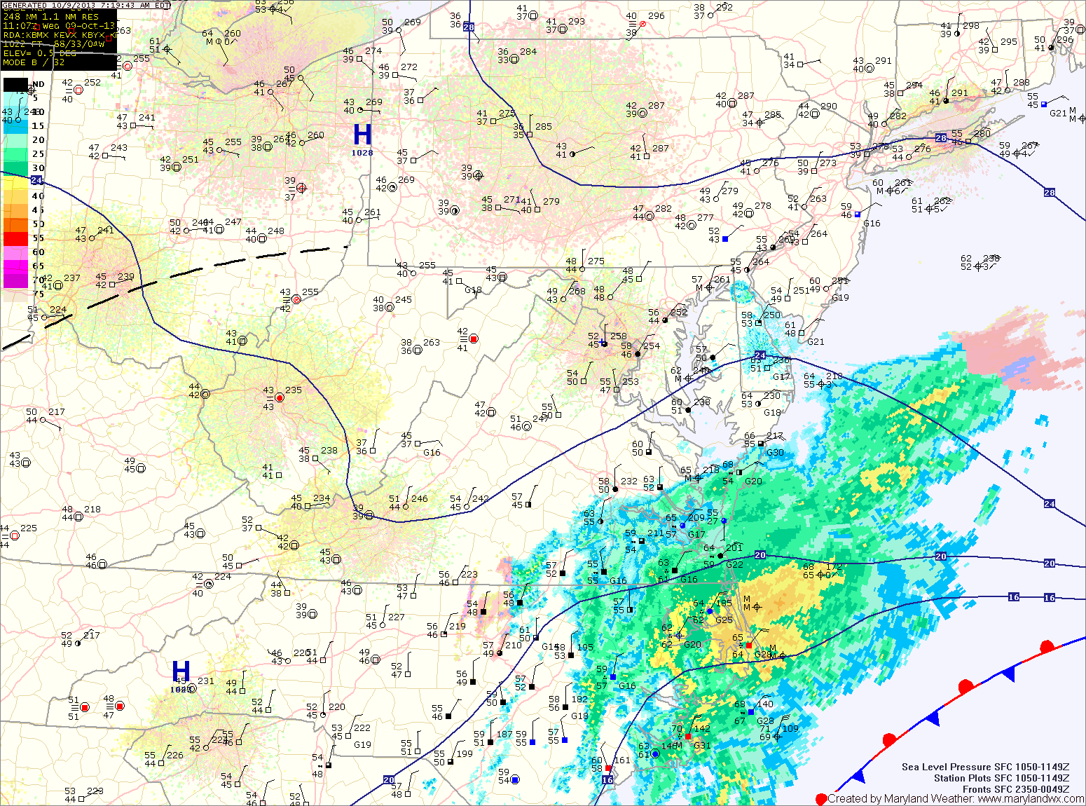
The rain will overspread the entire state tonight and become steady. The rain will continue tomorrow and highs will remain in the low 60s.
Expect the rain to begin to lighten as we move into tomorrow night and Friday. Although the rain will decrease in intensity, showers are expected to continue through Friday and into Friday night. Rainfall totals of 1-4″ are likely, with the highest amounts along the coast and lowest amounts in the mountains.
Scattered showers may linger into Saturday as the low slowly moves away from the area. Highs will be near 70.
There is a slight chance of showers on Sunday, especially in the morning before clouds begin to decrease through the afternoon. Highs will again be near 70.
Monday and Tuesday will feature mostly sunny skies, with highs in the low 70s.
Yesterday’s Weather Station Stats:
High Temp: 66.7°
Low Temp: 46.1°
Rain: 0.00″