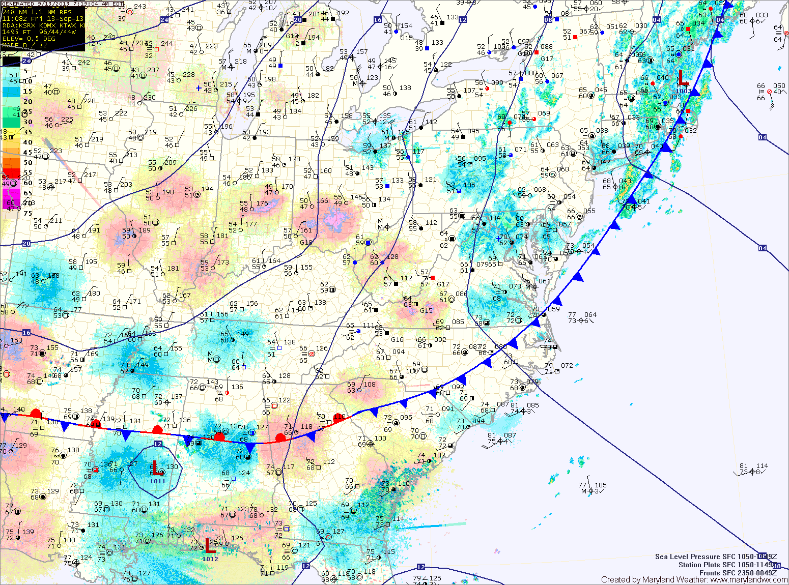
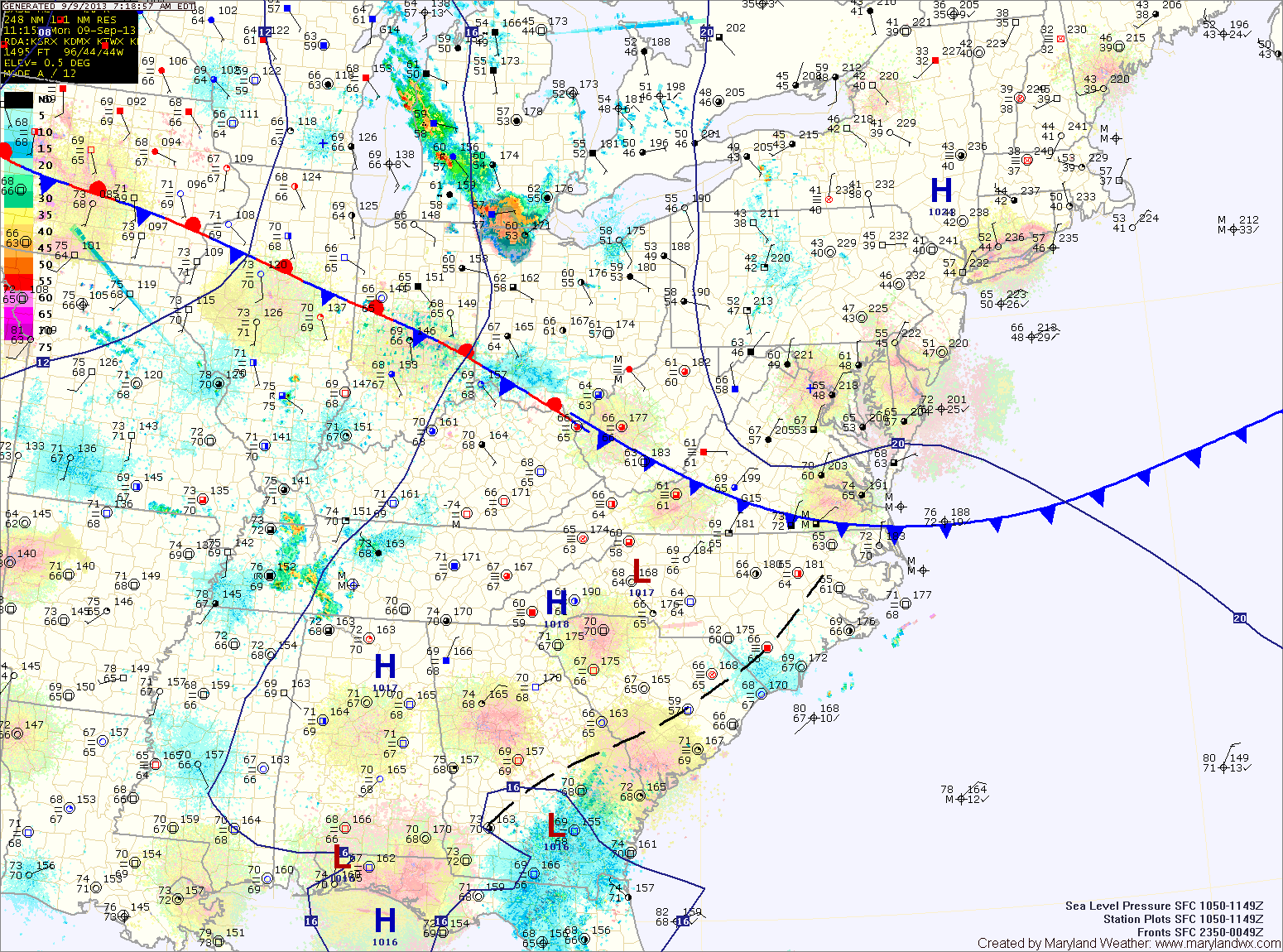
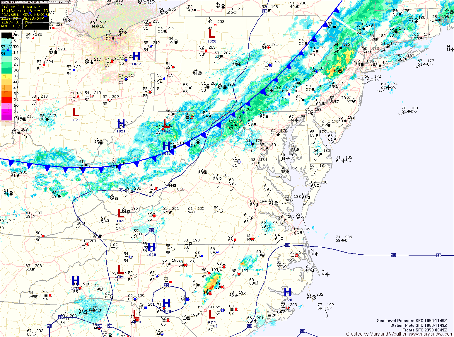
Cold Front Brings Showers Today

Current Surface Map
Current Surface Map
A cold front is currently pushing through the state. A line of showers is accompanying the front as it moves through. Expect showers to develop and move through this morning. Highs will be in the mid 70s.

Behind the front, high pressure builds in bringing another stretch of cooler and drier weather to the area. Tomorrow will be mostly sunny with highs in the low 70s.

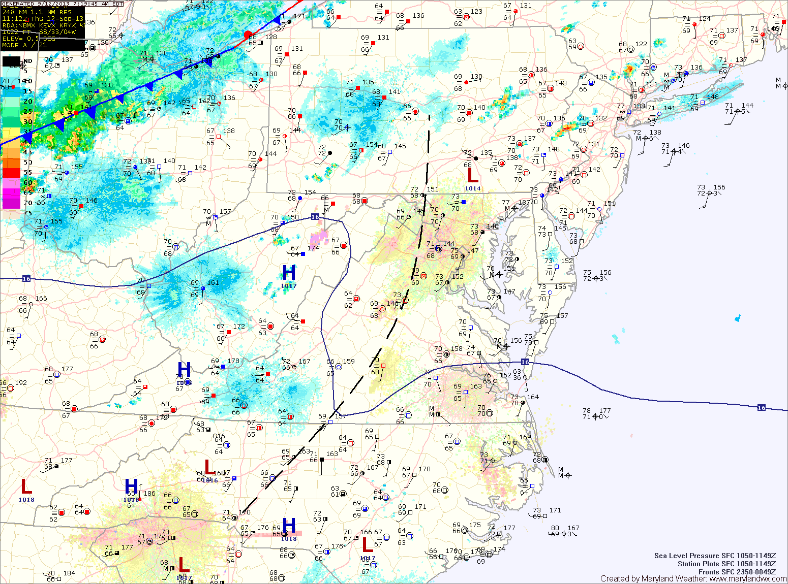
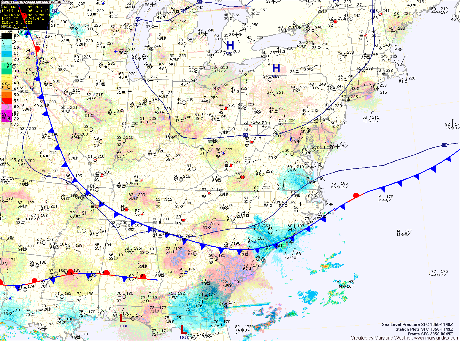
Wednesday will feature mostly sunny skies and highs in the mid 70s.

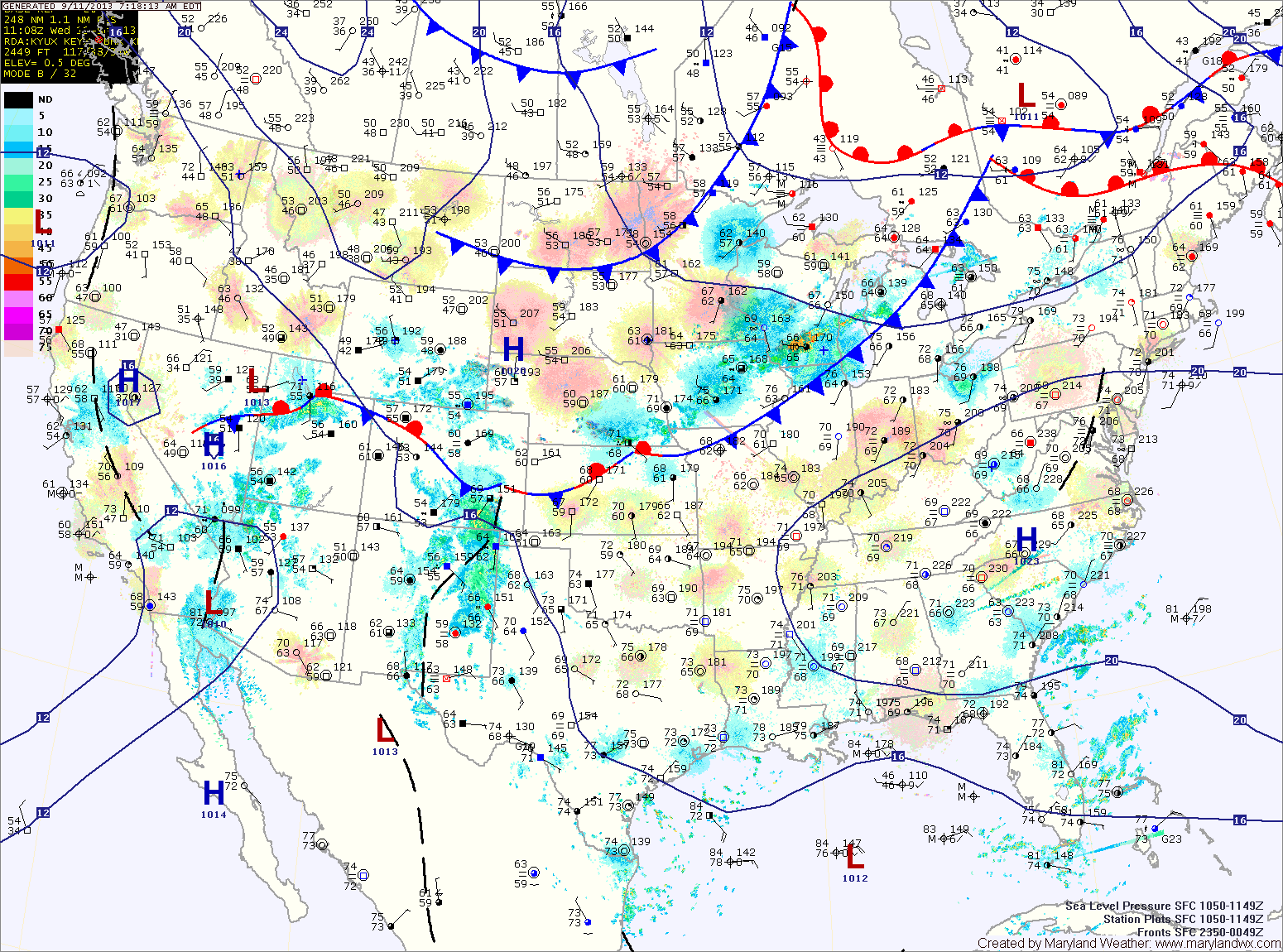
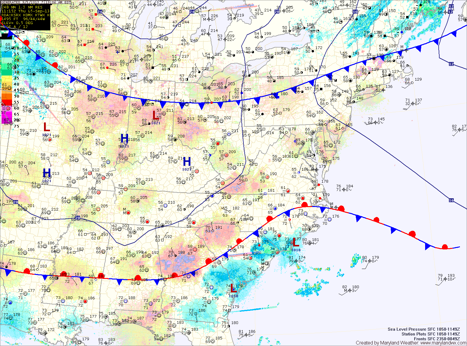
Temperatures will continue to climb on Thursday, with highs approaching 80 degrees under mostly sunny skies.

Quiet and Cooler Weekend

Current Surface Map
Current Surface Map
The cold front that brought numerous showers and thunderstorms to the state yesterday has pushed off shore. Behind the front, cooler and drier air is working into the region and will last through the weekend.

Expect early morning clouds to give way to more sunshine this afternoon. Highs will be in the mid 70s.

Tomorrow will be even cooler and will feature far less clouds. Expect mostly sunny skies with highs in the low 70s.

Sunday will see more sunshine and temperatures climbing back up into the mid to upper 70s during the afternoon.

Cold Front Crosses Today; Cooler and Dry Weekend Ahead

Current Surface Map
Current Surface Map
A cold front will approach the area today, moving through this afternoon and evening. Ahead of the front, scattered showers and thunderstorms are expected to break out and move through as well. It will continue to be hot and humid, with highs around 90.

Canadian high pressure begins to move into the region tomorrow. Expect decreasing clouds and highs in the mid 70s.

This weekend will feature plenty of sunshine comfortable high temperatures and chilly morning lows. Highs on Saturday will be in the low 70s under sunny skies.

Hazy, Hot and Humid Today; Cold Front Tomorrow

Current Surface Map
Current Surface Map
With high pressure remaining off of the coast, hot and humid conditions will continue today. Expect afternoon highs a few degrees warmer than yesterday, into the mid 90s under mostly sunny skies.

A cold front will approach tomorrow and move through during the late afternoon or evening. Scattered showers and thunderstorms will accompany the front as it moves through. It will continue to be hot, with highs in the low 90s.

Behind the front, Canadian High pressure will begin to move in bringing cooler and drier air. Friday will be partly sunny with highs in the mid 70s.

Hot and Humid Today and Tomorrow; Cold Front Passes Thursday

Current Surface Map
Current Surface Map
High pressure off the coast will usher in hot and humid air for the next few days. Highs today will top out around 90 degrees under mostly sunny skies.

Tomorrow will be a few degrees warmer than today with highs in the low 90s.

Expect more heat and humidity on Thursday as a cold front approaches the area. Highs will be around 90.

The front will move into the state during the afternoon, setting off scattered showers and thunderstorms before moving through late Thursday evening.

Clouds and Sun Today; Heat Builds Tomorrow

Current Surface Map
Current Surface Map
High pressure to our north will provide pleasant weather today, with highs in the mid to upper 70s.

The high will shift off of the coast later today, shifting our winds to more southerly and pumping in warmer and more humid air. Highs tomorrow will be around 90 degrees.

Wednesday will be hot and muggy. Expect highs in the low 90s under partly sunny skies.

A cold front will approach and move through on Thursday. Temperatures will rise to near 90 degrees by the afternoon. This, combined with the approaching front, will set off scattered showers and thunderstorms into Thursday evening.

Sunny and Cooler Today; Dry through the Weekend

Current Surface Map
Current Surface Map
With Canadian high pressure to our north, expect sunny skies today with highs in the mid 70s.

The quiet and dry weather will continue tomorrow and into Sunday. Highs tomorrow will be around 80, warming into the mid 80s on Sunday. Another dry cold front will pass through Sunday afternoon bringing a few clouds and perhaps an isolated shower.

Monday will be mostly sunny with highs in the upper 70s.

We remain dry through Tuesday while a cold front moves towards the area. Highs Tuesday will be in the low 80s.

Mostly Sunny into the Weekend

Current Surface Map
Current Surface Map
High pressure remains in control today, leading to mostly sunny skies and highs in the mid 80s.

A weak cold front will move through this afternoon. The front will shift winds and provide a few high clouds but no rain. Behind the front, more sunshine is expected with cooler temperatures. Highs tomorrow will top out in the mid 70s.

Another warming trend will commence this weekend, with highs on Saturday in the low 80s under mostly sunny skies.

Another dry cold front will move through on Sunday afternoon, causing a few more clouds than Saturday but high temperatures will push into the mid 80s despite the clouds.

Quiet Weather Ahead

Current Surface Map
Current Surface Map
A dry cold front is currently moving through central Maryland. Behind this front, drier air is filtering into the region. Highs today will be in the mid 80s under mostly sunny skies.

High pressure builds in briefly tomorrow, bringing sunny skies and highs in the low 80s.

Another dry cold front will bring a few clouds on Thursday. Highs will be in the low to mid 80s.

Behind this front, another shot of cooler air will move in. Highs on Friday will top out in the upper 70s.