
The high will shift off of the coast later today, shifting our winds to more southerly and pumping in warmer and more humid air. Highs tomorrow will be around 90 degrees.
Wednesday will be hot and muggy. Expect highs in the low 90s under partly sunny skies.
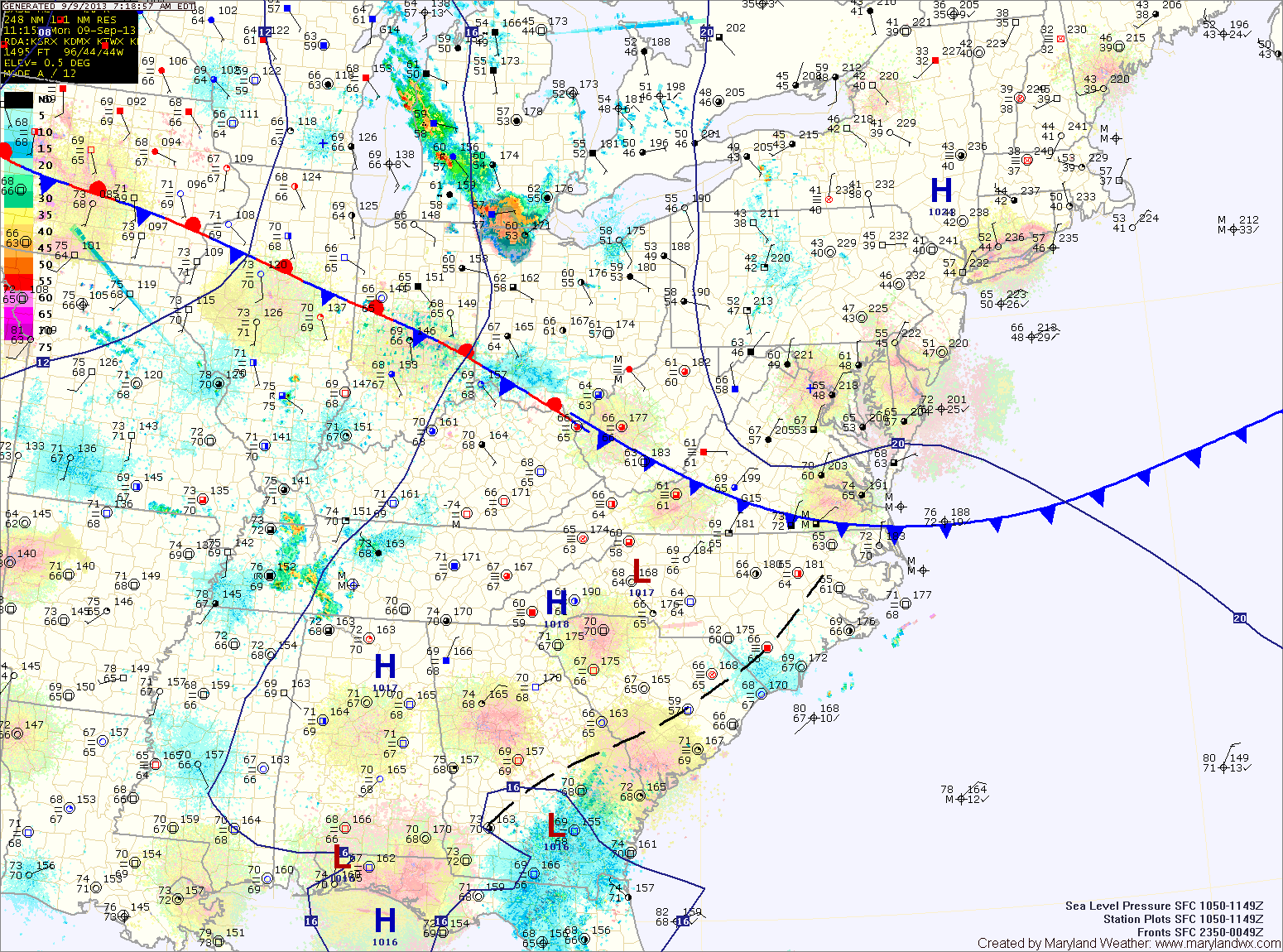
A cold front will approach and move through on Thursday. Temperatures will rise to near 90 degrees by the afternoon. This, combined with the approaching front, will set off scattered showers and thunderstorms into Thursday evening.
Behind the front, cooler and drier air will move back in on Friday. Highs will be back into the mid 70s under decreasing clouds.
Saturday will be mostly sunny with highs in the mid 70s.
Sunday should also remain dry, as high pressure remains in control, but begins to move off shore allowing temperatures to begin to climb again.
Yesterday’s Weather Station Stats:
High Temp: 89.8°
Low Temp: 64.6°
Rain: 0.01″