
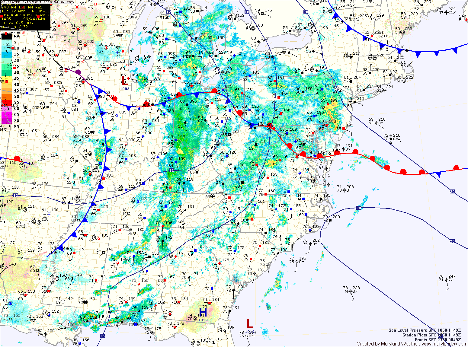
A Flash Flood Watch is in effect for all of central Maryland, while a general Flood Watch is in effect for the Eastern Shore. Highs today will be in the mid 70s.
Rainfall will begin to taper off later tonight as the cold front moves through.
The front will clear the area tomorrow morning, but will stall out to our south. This will allow for a slight chance of an afternoon shower or thunderstorm. Highs will be in the low 80s.
Wednesday looks to be dry as the front remains to our south. Highs will be in the mid to upper 80s.
Low pressure forming along the stalled out front looks to bring another round of showers and thunderstorms to the area Thursday into Friday. This round of rainfall could be heavy once again, bringing another chance of flooding. Highs both days will be in the low 80s.
High pressure will build in for the weekend.
Yesterday’s Weather Station Stats:
High Temp: 80.6°
Low Temp: 63.1°
Rain: 0.00″