Foggy start, showers and storms possible this afternoon
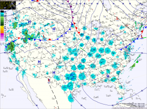
Current Surface Map
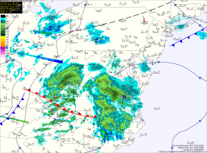
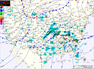
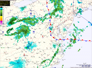
A back door cold front has moved through central Maryland and has stalled out just west of Washington, DC. This has allowed cooler, moist marine air to move into central and eastern Maryland.

Expect the front to be pushed back to the east as an upper level disturbance moves through this afternoon, bringing with it a chance of showers and thunderstorms. Some of these showers and storms could produce locally heavy rain and gusty winds. Highs today will top out in the upper 60s to around 70 under partly sunny skies.

Sunny and warm today, showers and storms tonight and Friday

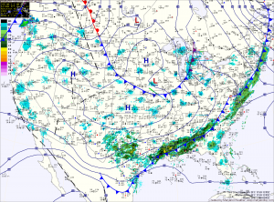
Current Surface Map
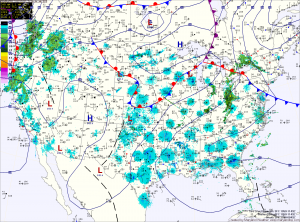
Today will again be sunny and warm, with highs pushing to near the record high of 82. Clouds will increase this afternoon ahead of the next storm system, followed by showers and possibly a thunderstorm tonight. Showers and storms are likely tomorrow afternoon with highs in the mid 70s. Any storms that develop will be capable of producing small hail and gusty winds.

Expect showers and storms to continue into tomorrow night before clearing after midnight.

The warmth continues

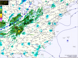
Current Surface Map
As we remain under the influence of high pressure, sunny skies and warm temperatures will continue today with highs in the mid to upper 70s. Sunshine continues tomorrow and it looks to be a few degrees warmer than today with highs in the low 80s. A new record high may be set tomorrow as the current record at BWI is 82.

As southerly flow continues to bring in the warmth, it will also bring in higher dew points which will set the stage for our next storm system.

Cooler and breezy today

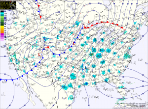
Current Surface Map
The cold front has moved through the state, dropping temperatures from 67 at midnight to 45 now. Temperatures will rebound to the mid 50s today, but it will feel colder as gusty northwest winds continue through the day.

Skies will remain clear tonight, allowing temperatures to drop to around 30. Tomorrow will remain sunny and breezy, while highs will only top out in the mid to upper 40s.

Windy and warm Thursday

Current Surface Map
We started out today with a low temperature of 54 degrees, which is 3 degrees warmer than the average high for this time of year and will end up today about 20 degrees above normal. Strong southerly winds courtesy of a high pressure area off the coast will continue to bring in warmer air ahead of a cold front that will move through overnight. Highs will be a few degrees warmer than yesterday, eclipsing 70 in most spots while winds gust to around 35mph.

Sunny and warm

Current Surface Map
Today will be sunny and warm, with highs in the mid 60s. Tomorrow will be a few degrees warmer, pushing 70 in many areas. Southerly winds will also increase tomorrow, ahead of a cold front that is poised to move through during the overnight. The front will bring a round of showers that will linger into Friday morning before clearing the are Friday afternoon.

Quiet stretch

We are entering a stretch of quiet and calm weather over the couple of days. Aside from showers associated with a cold front Thursday night and Friday morning, the calm…

Cloudy, chance of flurries today

Current Surface Map
A vigorous clipper system will continue moving to the south of the state, through southern Virginia this morning. The storm will bring a chance of flurries to the state, mainly in southern Maryland. Any accumulating snow will be confined to central and southern Virginia.

Rain develops this afternoon

Current Surface Map
An area of low pressure currently over Missouri will move into the Great Lakes today, bringing a warm front through the area this evening followed by a cold front early tomorrow morning. A similar situation to last week may develop, where the cold air is harder to dislodge than anticipated, which may limit the advance of the warm front. In any event, temperatures this afternoon will push into the mid 50s, ahead of the cloud cover and rain that will develop later this afternoon or evening.