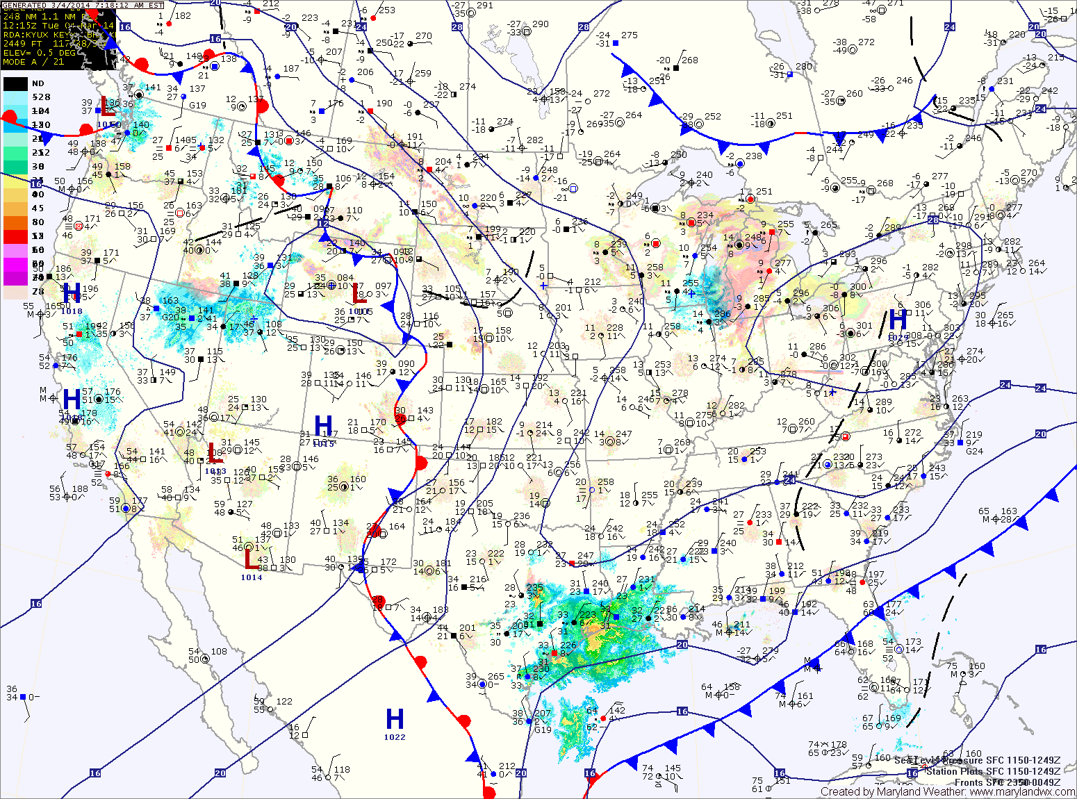
Unseasonably Warm Today; Fall Returns this Weekend
With high pressure moving off of the east coast, southerly flow will usher warmer air into our region. Highs today will be in the mid to upper 60s. Major changes…

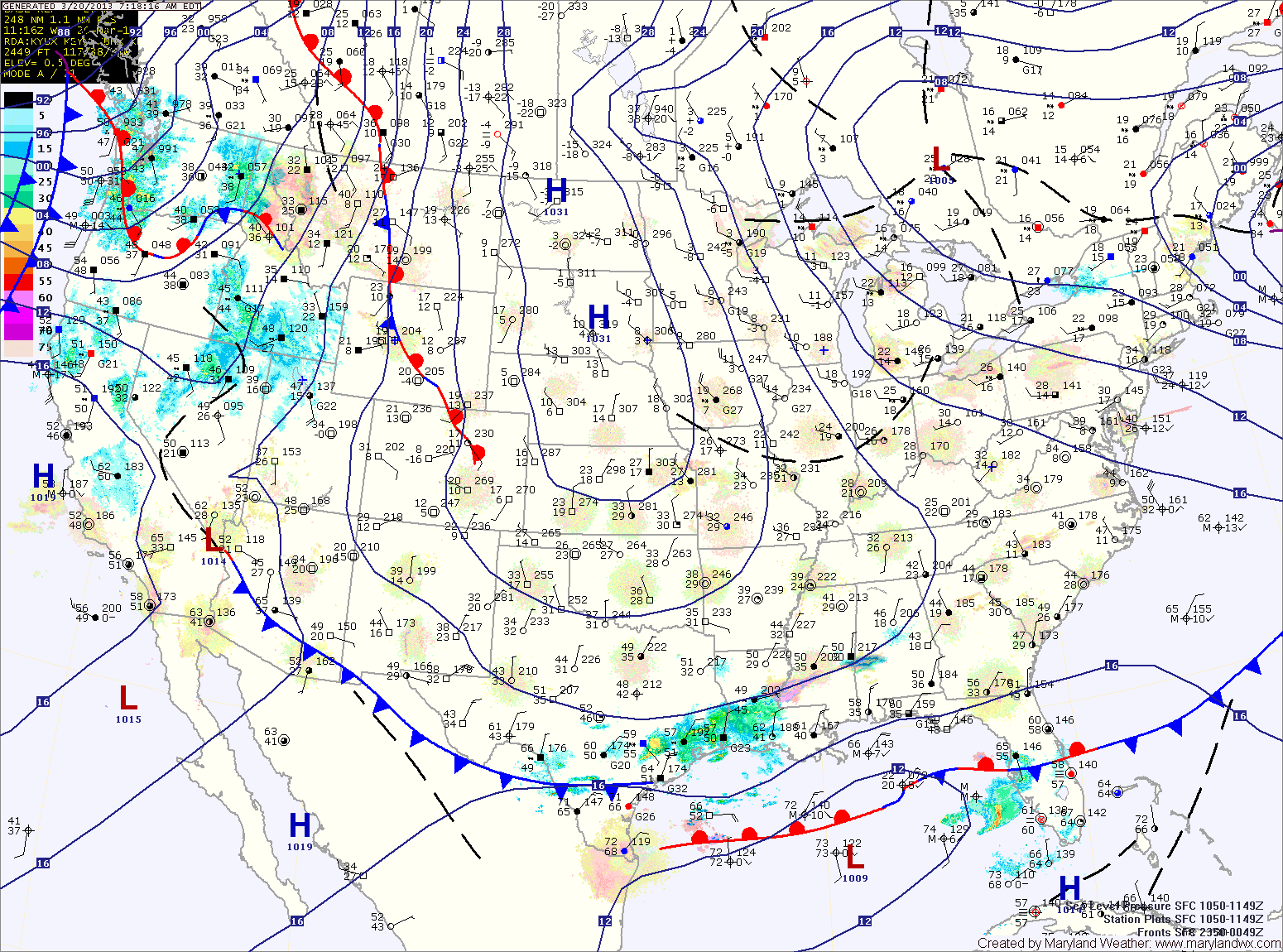
Everything you need to know about the weather in Maryland
Temperatures will rebound today, but only warm into the mid to upper 20s under mostly sunny skies.
Another cold night is on tap tonight, with lows in the mid teens.
A slight warming trend is on tap, starting tomorrow. Highs will reach the mid 30s under mostly sunny skies.
Clouds will increase a bit on Thursday, but temperatures will continue to warm, reaching the upper 30s to near 40.
A weak upper disturbance will move through Thursday night and Friday morning, bringing a slight chance of flurries.
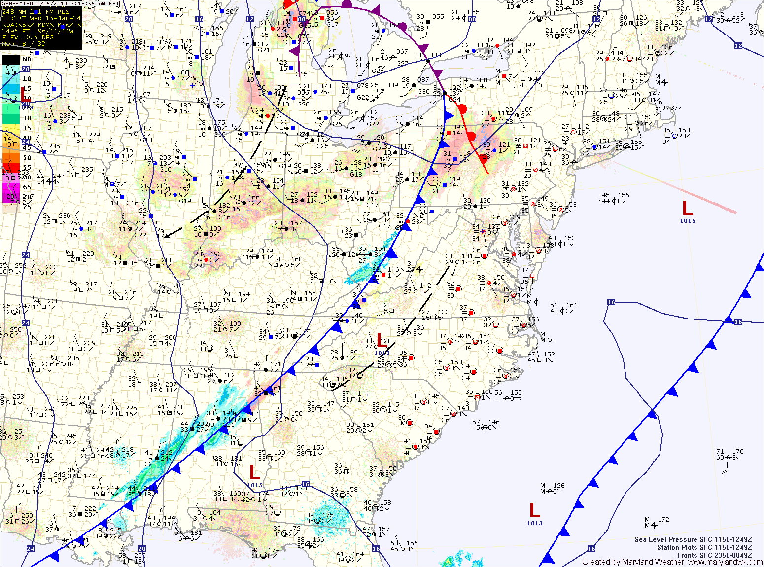
A weak cold front will cross the area tonight as low pressure develops off shore. In between the two, an area of light snow will likely develop. This area will likely be focused across Virginia, but flurries or light snow showers are possible across the state during the overnight hours into tomorrow morning. Little to no accumulation is expected.
Tomorrow will feature clearing skies with highs around 40.
Highs tomorrow will be in the low 60s under cloudy skies.
A cold front will push into the region tomorrow night, spreading showers into the area. Shower chances will increase on Saturday as the front pushes through.
The front should clear the area during the afternoon or evening hours. Highs will be in the low 50s.
The end of the week and the first part of the weekend will be mostly sunny and breezy with highs in the mid to upper 40s.
Clouds will increase Saturday night as an area of low pressure approaches from the southwest. Models are coming into agreement that this storm will pass south of our area, keeping us on the cold side.
An upper level disturbance will push through tonight, bringing a slight chance of flurries or snow showers into tomorrow. An inch or two is possible in far western Maryland, elsewhere no accumulation is expected. Winds will continue to gust tomorrow, into the 25mph range. Highs will be in the low 40s.
Behind that system, high pressure builds back in for the end of the week and most of the weekend. Friday through Sunday will see highs in the mid to upper 40s under partly sunny skies.