
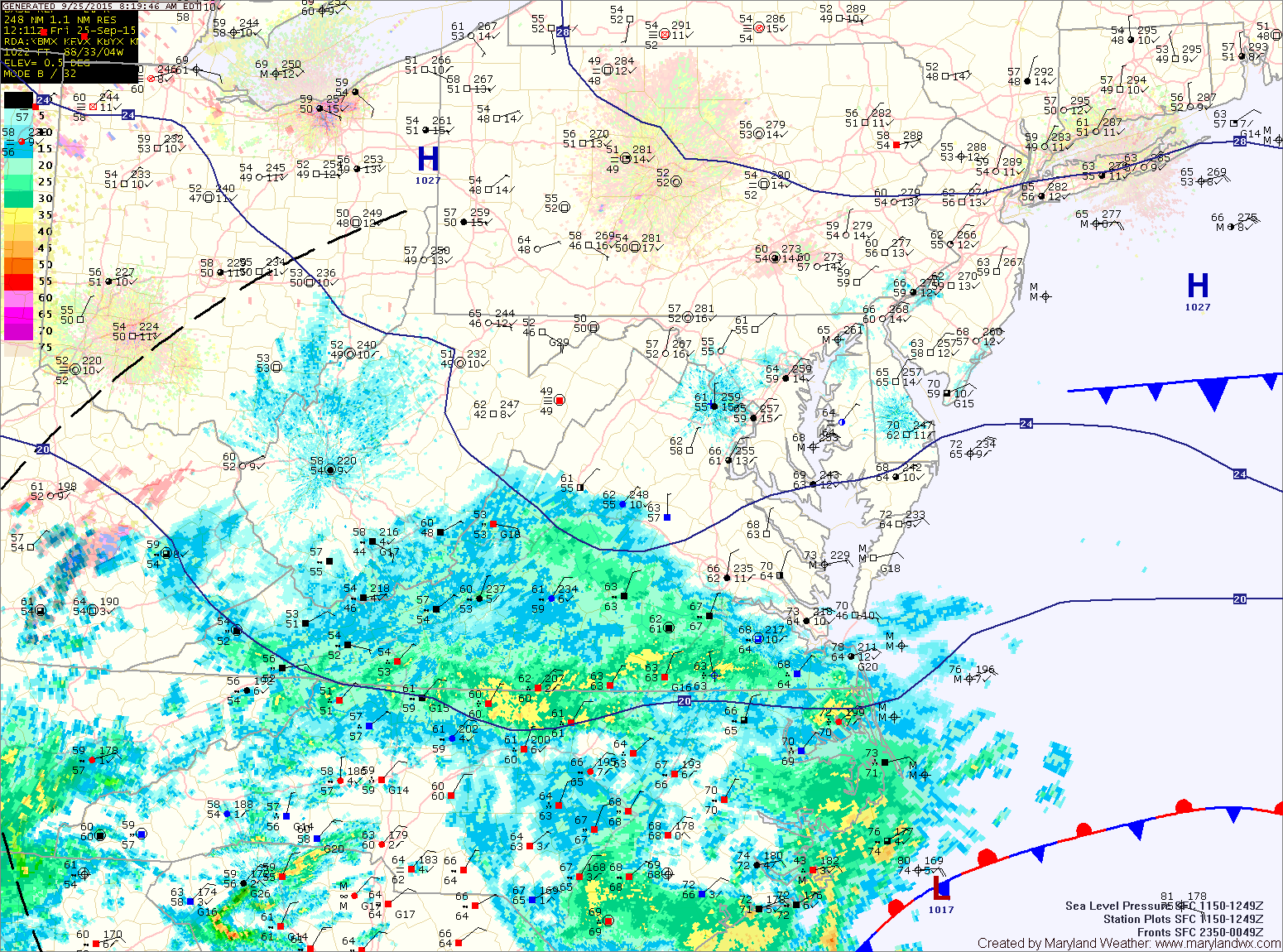
An area of low pressure currently over the Carolina coastline will slowly move northward today and this weekend. Strong high pressure to our north will block the low’s path, keeping us on the northern fringe of the system. Clouds from the storm have overspread the area today while the rain remains in the Carolinas and southern Virginia. Highs today will be in the low to mid 70s under generally cloudy skies.
The storm will inch northward tonight, spreading rainfall into southern Maryland and the lower Eastern Shore. Steady rainfall is expected across these areas into tomorrow while isolated to scattered showers are expected elsewhere. Highs will be in the low 70s.
The rainfall will continue to slide northward and the entire state should see steadier rainfall by late Saturday and Sunday. The rain will continue Sunday and into early Monday morning before the storm pulls away. It will be breezy, with easterly winds to near 20 mph. Rainfall totals of around 1″ will be common across most of the state, with totals of 2-3″ likely across southern Maryland and the lower Eastern Shore.
Here is a slideshow showing the GFS timing of the rainfall and rainfall totals from 8pm tonight through 8am on Monday (Images courtesy of Tropicaltidbits.com):
[slideshow_deploy id=’10358′]
Stay up to date with storm information on your favorite social media site!
Follow me on Twitter, Facebook and Google+!