
A cold front will pass through today, followed by high pressure tomorrow. Several systems will likely affect the area late Thursday and into the weekend.
- SEVERE STORMS LIKELY THIS AFTERNOON AND EVENING. DAMAGING WINDS AND HAIL ARE THE PRIMARY THREATS
- HEAT ADVISORY IN EFFECT FROM 1 PM THIS AFTERNOON TO 7 PM EDT THIS EVENING FOR: ANNE ARUNDEL, BALTIMORE, BALTIMORE CITY, CALVERT, CECIL, CHARLES, SE HARFORD, SE HOWARD, SE MONTGOMERY, PRINCE GEORGE'S AND ST. MARY'S COUNTIES
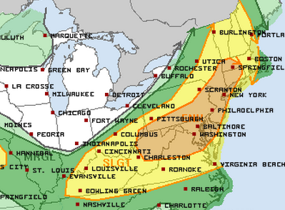
Afternoon highs will reach the mid to upper 90s. The storms will develop and move through during the afternoon and evening hours. Some of the storms will become severe, with damaging winds and hail.
WEDNESDAY: Behind the front, slightly cooler and drier air will move in with an area of high pressure. Highs will be in the mid 80s under mostly sunny skies.
THURSDAY: A warm front will push back through the area increasing southerly flow and moisture once again. Scattered showers and thunderstorms are likely to develop during the afternoon and evening. Highs will be in the mid 80s. An area of low pressure will move into the area from the west by Thursday night, keeping rain chances going through the night and into Friday morning.
FRIDAY: The storm system will continue moving through the area, making showers and thunderstorms likely throughout the day. Highs will be in the low 80s.
WEEKEND OUTLOOK: Low pressure systems will continue to affect the region this weekend with showers and thunderstorms likely both Saturday and Sunday with heavy rainfall possible. Highs will be in the upper 70s both days.
Stay up to date with storm information on your favorite social media site!
Follow me on Twitter, Facebook and Google+!