
A Wind Chill Warning has been issued for: Garrett and Western Allegany counties.
A Wind Chill Advisory has been issued for: the rest of the state.
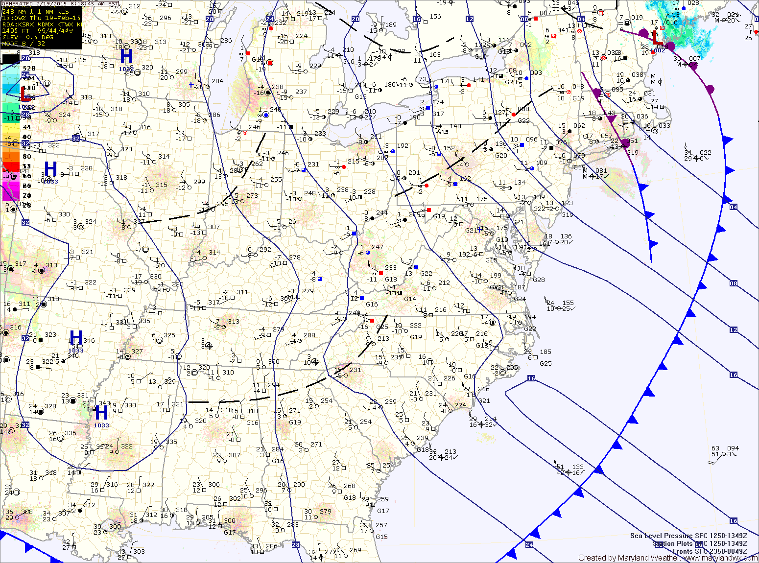
Lows tonight will fall into the low single digits to around 0° east of the mountains and below 0 in the mountains making it the coldest night of the season. Wind chill values will fall to -10 to -20 east of the mountains and to -20 to -40 in the mountains. This is dangerously cold air, do not go outdoors unless absolutely necessary tonight!
Tomorrow’s highs will only be in the mid teens east of the mountains and may not break out of the single digits west.
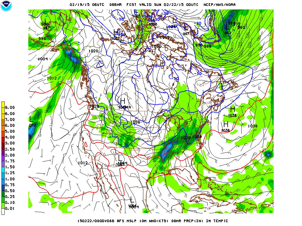
Right now, it looks like snow will develop during the afternoon hours Saturday and then transition to a snow/sleet mix by Saturday evening. During the overnight period, the snow/sleet will transition to sleet and then freezing rain for a bit. By early Sunday morning, most areas should be seeing plain rain.
The exact timing of the transitions and how much of each type of precipitation falls is highly dependent on the storm track and the details will be worked out tomorrow.