
Tomorrow will feature increasing clouds, with a high in the upper 30s to around 40.
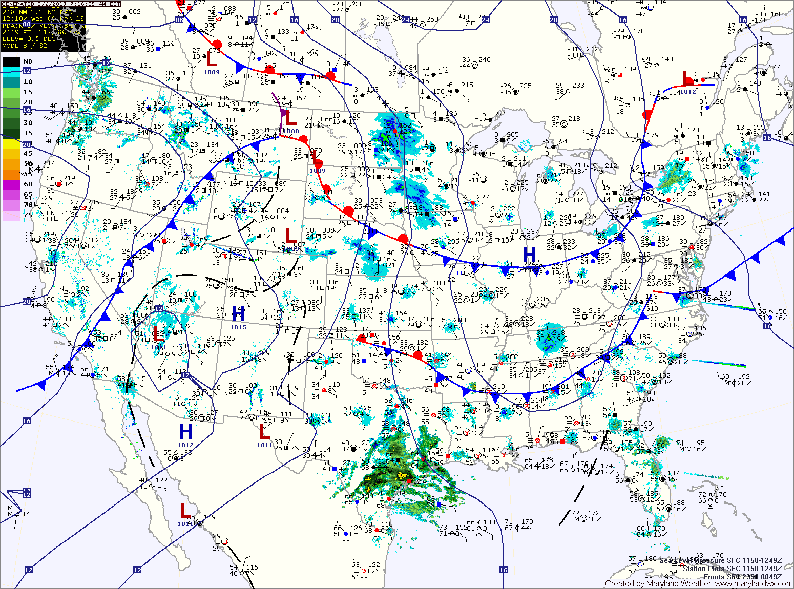
An area of low pressure developing over eastern Texas will move along the Gulf Coast and then up the coast Friday. With a lack of cold air, expect light rain or wintry mix to develop late Thursday night, changing to rain.
The rain will continue Friday into Friday night. Highs Friday will be in the mid 40s.
As the storm moves up the coast, major snowfall is expected to our north into New England.
Behind the system, a mostly sunny and seasonable weekend is on tap with highs in the 40s both Saturday and Sunday.
A storm system moving through the Great Lakes will bring a cold front and another chance of rain into the area Monday with high pressure returning for midweek.
Another coastal storm may affect the East Coast towards the end of next week.
Yesterday’s Weather Station Stats:
High Temp: 38.7°
Low Temp: 28.4°
Rain: 0.00″