Mostly Sunny Today; Mix to Rain Friday

Current Surface Map
Current Surface Map
Today will be mostly sunny and breezy with a high in the low 40s. Northwest winds will gust to near 25mph this afternoon.

Tomorrow will feature increasing clouds, with a high in the upper 30s to around 40.

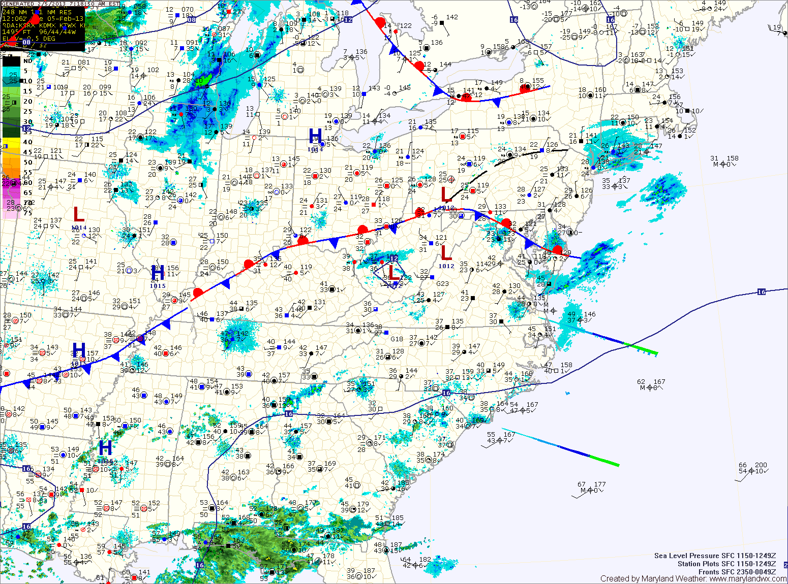
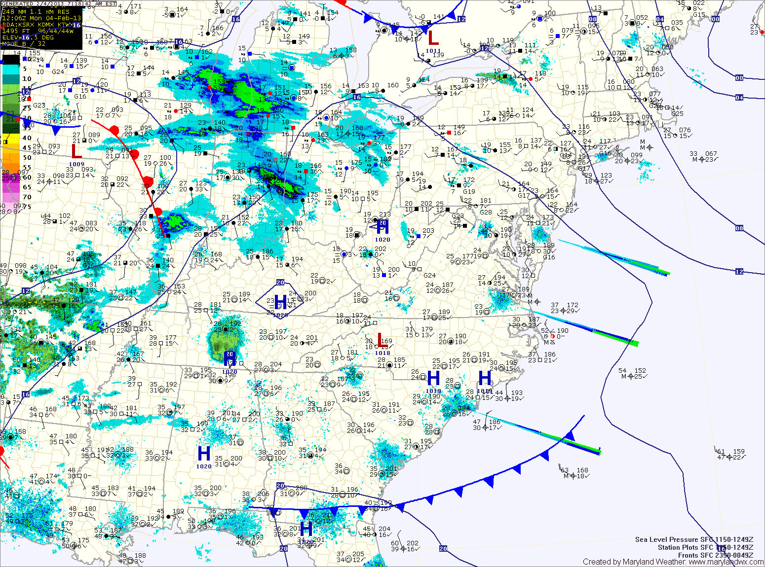
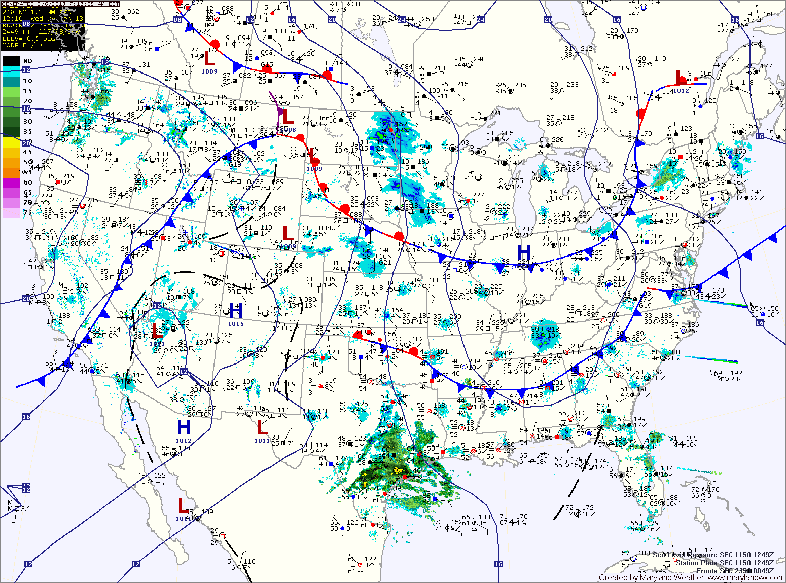
An area of low pressure developing over eastern Texas will move along the Gulf Coast and then up the coast Friday. With a lack of cold air, expect light rain or wintry mix to develop late Thursday night, changing to rain.

The rain will continue Friday into Friday night. Highs Friday will be in the mid 40s.

As the storm moves up the coast, major snowfall is expected to our north into New England.

Partly Sunny Today; Seasonable Conditions

Current Surface Map
Current Surface Map
A stationary front is draped across the state today, keeping clouds over the area. Highs will top out in the low to mid 40s.

Yet another clipper system moving by to our north will bring another chance of light snow or flurries, mainly in the mountains and across northern Maryland.

Tomorrow will be breezy with clearing skies. Highs will be in the mid 40s.

Expect more of the same on Thursday. Variably cloudy with highs in the mid 40s.

A low pressure system will bring a chance of rain or rain/snow mix Thursday night and Friday. Highs Friday will be in the mid to upper 40s.

Partly Sunny Start; More Light Snow This Evening

Current Surface Map
Current Surface Map
Today will begin under partly sunny skies, with clouds increasing through the day. A clipper system will bring light snow to the area this evening and tonight. Accumulations will be light, with totals under an inch.

The system is expected to stall near the area tomorrow, continuing a slight chance of light snow or mix as temperatures warm tomorrow afternoon. Highs will be near 40 tomorrow.

Another clipper will move through tomorrow night, continuing the chance of snow through tomorrow night.