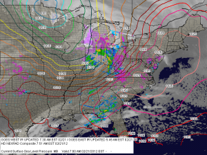
Rainy leap day ahead
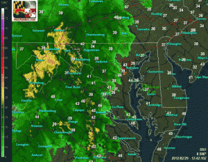
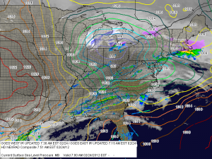
Rain is currently overspreading the area from west to east and will last though the night. A rumble of thunder will also be possible this afternoon, as temperatures rise into the mid to upper 40s. Rainfall totals of around 3/4 of an inch are expected by tomorrow morning.

We clear out tomorrow and Friday, with highs tomorrow in the mid 60s while mid 50s are expected on Friday.

A fast moving area of low pressure bring a chance of showers during the overnight on Friday and more showers on Saturday.

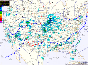
Sunny today, rain tomorrow

Current Weather Map
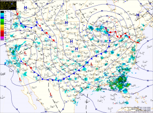
Expect mostly sunny skies today with highs in the low 50s to mid 50s. An area of low pressure is currently moving out of Colorado and will move into the Great Lakes. This system will drag a cold front through the eastern US tomorrow. Ahead of the front, rain will develop during the early morning hours tomorrow and last through tomorrow night. Rainfall totals approaching an inch are possible before the front clears early Thursday morning.

Sunny and warm today

Current Surface Map

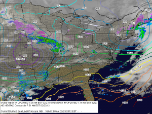
Expect sunny skies and warm conditions today, with temperatures approaching 60 today. Unlike Friday we will not be relying on a warm front to bring in the milder air, so there is no chance that the warmth stalls out to our south today. A weak, dry cold front will move through later today and it will usher in slightly cooler air for tomorrow, but sunshine will remain.

A stronger area of low pressure will move into the Great Lakes Tuesday night and Wednesday, bringing moisture and rain to the area on Wednesday and Wednesday night. Rainfall totals may approach an inch with this system.

Showers, a rumble of thunder and windy

Current Surface Map
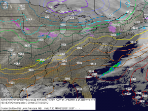
A warm front currently just to our south will move northward, allowing warm moist air to overspread the state. Highs today will be warmer than yesterday, approaching the mid 70s across central Maryland.

This will set the stage for a round of showers and possibly a few thunderstorms this afternoon as a cold front approaches from the west. Any storms that develop could produce damaging winds and small hail.

Remember, the KLWX radar is down for maintenance, so please use the Regional Radar and the TBWI Radar to track the progress of the showers and storms today.

Sunny today, winds increasing

Current Surface Map
Today will be the warmest day of the week, possibly the month and the year. On February 1, we hit 68 degrees and we will approach that today with highs in the upper 60s. The pressure gradient between the high off the coast and a strengthening low over the midwest will increase winds today as well. Gusts as high as 25 are possible this afternoon.

Partly sunny and warm today

Current Surface Map
Today will be partly sunny with a high around 60. It will also be breezy with winds gusting to near 25 this afternoon. A disturbance will rotate down from Canada this evening, bringing a chance of showers overnight.

A low pressure center will move into the Great Lakes tomorrow, dragging a warm front into the area. The warm front will bring in even warmer air and possibly another round of showers as it moves through. Highs tomorrow will be in the upper 60s and approach 70 in many areas.

Partly sunny today, 70 on Thursday

Current Surface Map
As high pressure continues to move off the coast, a southerly return flow will bring in warmer air as we head through the week while disturbances passing to our north will provide a slight chance of a shower tomorrow night through Thursday night. A cold front will cross the area on Friday.

Expect partly sunny skies today and tomorrow. Highs today and tomorrow will be in the mid to upper 50s.