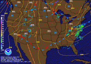
Light rain and snow tomorrow
Current weather map
Following a sunny day today, a weak area of low pressure currently over Kansas will move eastward and pass just to the south of the state. This system will bring light precipitation to the state late tomorrow morning through tomorrow evening. At this time, it looks like temperatures will be cold enough for all snow in Western and Northern Maryland, while a light rain/snow mix is likely for Central and Southern Maryland, including the Baltimore/Washington metro areas.

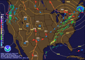
Gradual clearing today

Current weather map
Showers will continue to affect the area this morning, before clearing out by noon. Skies will become mostly sunny this afternoon with highs in the mid 50s. High pressure takes control tonight with clear skies allowing temperatures to drop back into the mid 30s. Expect mostly sunny skies again tomorrow and Saturday with highs in the mid to upper 40s and overnight lows in the low to mid 30s.

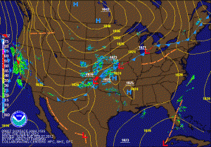
Highs approaching 70 today

Current Weather Map

After some early morning showers, sunshine will break through the clouds and temperatures will once again rise well into the 60s to near 70. Today is the last day for the warmth, as a cold front will cross the area tonight bringing another round of showers as well. Showers will continue into tomorrow morning and highs will be knocked back into the low to mid 50s.