Snow today; Very cold tonight

Current Surface Map
Current Surface Map
The snow shield continues to push eastward, and is overspreading I-95 at this time.

Meanwhile, cold air continues to pour into the area as temperatures are dropping into the 20s. Temperatures will continue to fall, reaching the teens by evening.

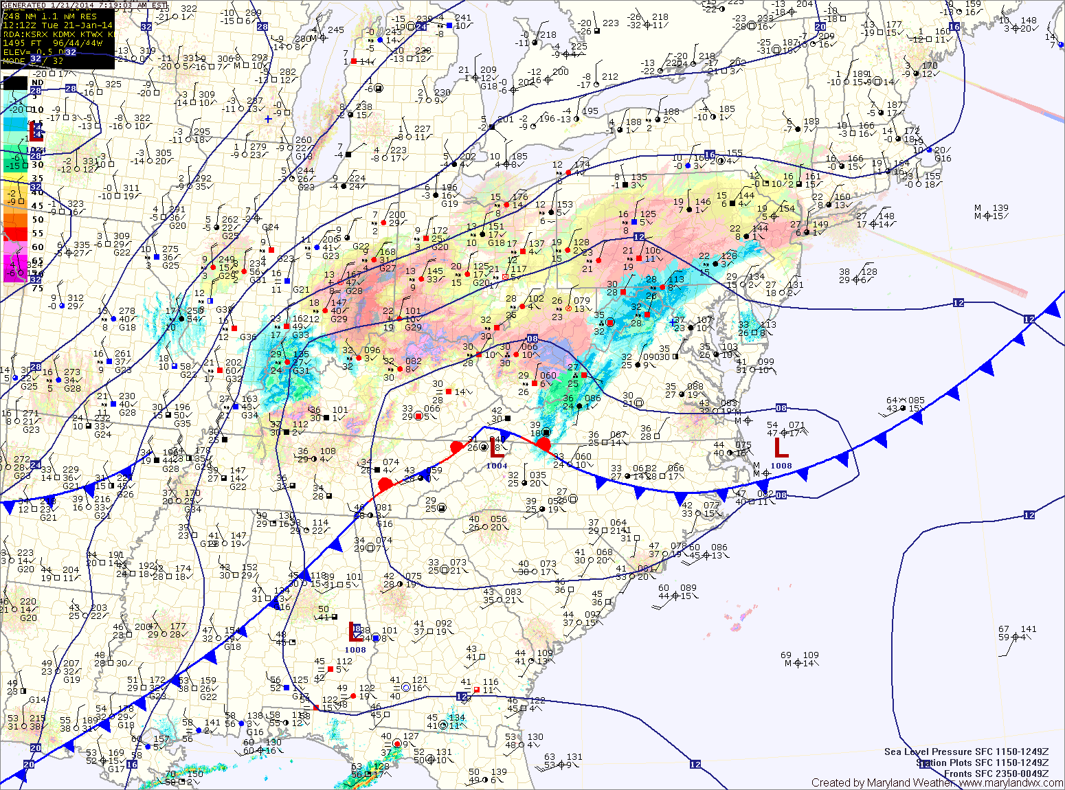
The snow will continue to push eastward and will overspread the entire state by noon. It will increase in intensity and become heavy at times during the afternoon hours.

A Winter Storm Warning is now in effect for the entire state and will remain in effect into tonight.

Snowfall Totals (from west to east):

Western Maryland mountains: 6-8″
North Central/Eastern Maryland: 8-12″
Central Maryland, including the DC/Balt. metro: 6-10″
Lower Southern Maryland: 4-8″
Eastern Shore: 6-10″
Lower Eastern Shore: 4-6″

Bitter Cold on the way; Wind Chills below zero Tonight and Tomorrow

Current Surface Map
Current Surface Map
A cold front is pressing eastward toward the area this morning with scattered showers. This front is separating temperatures in the 40s from the leading edge of a polar airmass that will spill into the area this afternoon. Today’s high temperature was hit this morning, 45 degrees at 7:41. Temperatures will continue to fall today, into the low 30s by evening.

A Wind Chill Advisory is in effect for tonight through 6pm tomorrow. Winds will increase tonight and temperatures will plummet to around 5 degrees. The combination of cold and wind will make it feel like -5 to -15 degrees.