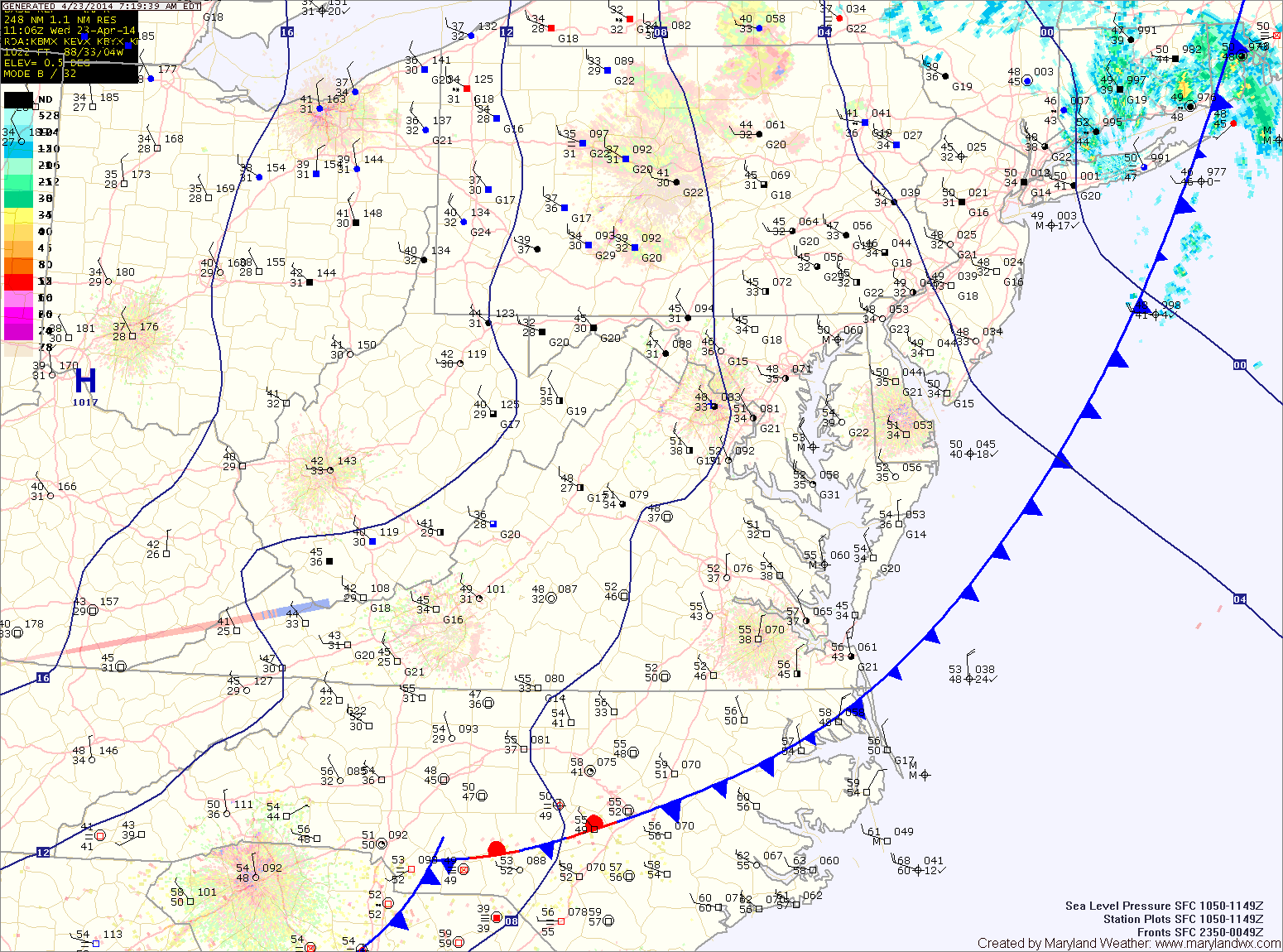
Mostly sunny, breezy and warmer today; Rain likely tomorrow

Current Surface Map
Current Surface Map
High pressure will provide mostly sunny skies today and warmer temperatures. It will still be breezy, but highs should reach the mid to upper 60s.

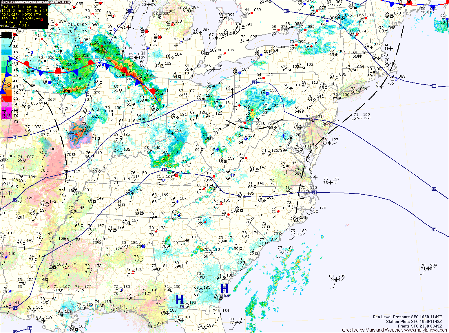
A cold front will approach tomorrow, spreading showers into the region. Showers are likely from mid-morning through the afternoon hours to the west, and from afternoon into evening further east. There is also a slight chance of thunderstorms during the evening hours as the front crosses the state. Highs will be in the upper 60s.

Saturday will be mostly sunny, but a secondary cold front will pass through late in the day or overnight. This front will have little moisture with it, so no rain is expected. Highs will be in the low 70s.

Mostly sunny, breezy and cooler today

Current Surface Map
Current Surface Map
Yesterday’s cold front has pushed off the coast and cooler high pressure is moving in. As a result, expect mostly sunny skies and cooler temperatures. It will also be breezy, with wind gusts to near 35mph. Highs will be in the low 60s.

Tomorrow will also be mostly sunny and breezy, with highs in the mid 60s.

Another cold front will pass through on Friday, bringing another slight chance of showers as it does. Highs will be around 70.

On Saturday, another front will pass through. The front will be mostly dry, with just an increase in clouds expected as it passes. Highs will be in the low 70s.

Showers and Thunderstorms Persist

Current Surface Map
Current Surface Map
With high pressure off the coast and southerly and easterly flow in place, scattered showers and thunderstorms will be possible again today. Highs will be around 80 degrees under cloudy skies.

Thunderstorms are more likely tomorrow afternoon. Some of these storms could produce locally heavy rainfall. Highs will be in the low to mid 80s.

Storm chances persist Thursday night and Friday. Highs on Friday will be in the mid to upper 80s.

Showers and Possibly a Thunderstorm Today

Current Surface Map
Current Surface Map
High pressure has moved off the coast and southerly flow is transporting tropical moisture up the coast. Today will be mostly cloudy with areas of showers and thunderstorms. Highs will be in the upper 70s.

Showers and storms will be possible through tonight and again tomorrow. Highs tomorrow will be around 80 degrees.

There will be a bit more sunshine on Thursday and as a result, stronger thunderstorms are possible during the afternoon and evening. Highs will be in the low to mid 80s.

A cold front will approach on Friday, bringing another chance of thunderstorms during the afternoon hours. The front will move through late Friday night setting up a nice weekend. Highs on Friday will be in the mid to upper 80s.

Stationary Front Leads to Unsettled Week Ahead

Current Surface Map
Current Surface Map
The frontal boundary that brought showers, storms and relief from the heat has stalled out in our area.

Several areas of low pressure will push through the region along the front bringing unsettled weather for much of the week.

Today will be mostly cloudy with highs in the mid 80s. Scattered showers and thunderstorms are likely this afternoon and evening. These storms could produce locally heavy rainfall.

Thunderstorm chances decrease slightly tomorrow, but isolated to scattered storms will still be possible. Highs will be in the mid to upper 80s.

Another Hot, Humid Day with Afternoon Storms

Current Surface Map
Current Surface Map
Just like yesterday, today will be hot and humid. The heat will support another round of afternoon thunderstorms with possibly damaging winds, as highs push into the low to mid 90s.

The storm threat will last into the evening before waning over night.

Another steamy day on tap tomorrow, but winds will increase as a cold front approaches from the west. More storms are expected in the area, capable of producing damaging winds and large hail. Highs will be around 90.

Continued Hot and Humid; Afternoon Storms

Current Surface Map
Current Surface Map
High pressure off the southeast coast will continue to pump hot and humid air into the region. More showers and thunderstorms will be possible this afternoon as highs push into the low to mid 90s.

More of the same tomorrow, with highs in the mid 90s and afternoon showers and storms possible. Some of the storms could turn severe with damaging winds and large hail possible.

A weak cold front will approach the region on Thursday, increasing thunderstorm activity and the likelihood of severe weather. Highs on Thursday will be around 90 degrees.

Mostly Sunny Today; Unsettled End to the Week

Current Surface Map
Current Surface Map
Today will be mostly sunny with highs in the upper 70s to around 80. Clouds will increase tonight as moisture begins to move into the region.

Clouds will continue to develop through the day tomorrow, with a slight chance of showers possible by late afternoon. Highs will be in the upper 70s.

Showers will increase in coverage and intensity tomorrow night as a frontal boundary interacts with a system in the Gulf of Mexico, spreading tropical moisture up the east coast.

Friday looks to be wet, with showers and possibly thunderstorms through the day. Highs will be in the upper 70s.

Scattered Showers and Thunderstorms Today and Tonight

Current Surface Map
Current Surface Map
A frontal boundary to our north will slowly sink south today and as it does, it will bring scattered showers and thunderstorms to the area. Highs today will be in the low to mid 80s under generally cloudy skies.

The front will slip south of the area tomorrow, allowing for clearing skies and highs in the mid to upper 70s.

The sunshine will be short lived, however as rain chances increase again on Saturday as an easterly flow develops. Isolated to scattered showers and thunderstorms are possible Saturday afternoon and evening. Highs will be in the mid 70s.

Unsettled Weather Returns

Current Surface Map
Current Surface Map
After a frosty start, temperatures today will warm into the 60s under partly sunny skies.

A warm front will push through the area tonight and will stall out. This front will be the focus for an unsettled stretch of weather, featuring showers and thunderstorms.

Tomorrow will see a a slight chance of showers and thunderstorms. Highs will be in the mid 70s under partly sunny skies.

There is a slightly better chance of showers and storms on Thursday, with scattered showers and storms possible again Friday. Highs both days will be around 80 degrees.