Warmer Weather on the Way
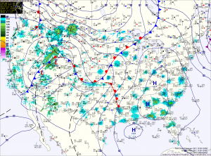
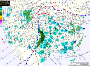
Current Surface Map
High pressure will continue to build into the region today and slide off the coast this weekend. This will lead to mostly sunny skies and warmer temperatures.

Expect sunny skies today with highs in the mid to upper 50s.

Sunshine continues tomorrow as highs continue to climb, topping out in the low to mid 60s.

More sunshine and even warmer temperatures are expected Sunday, as highs climb to near 70.

Sunny today, winds increasing

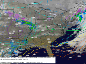
Current Surface Map
Today will be the warmest day of the week, possibly the month and the year. On February 1, we hit 68 degrees and we will approach that today with highs in the upper 60s. The pressure gradient between the high off the coast and a strengthening low over the midwest will increase winds today as well. Gusts as high as 25 are possible this afternoon.

Gradual clearing today

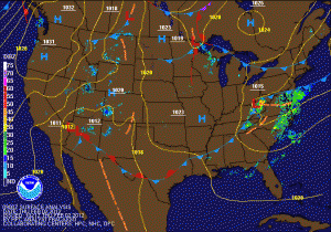
Current weather map
Showers will continue to affect the area this morning, before clearing out by noon. Skies will become mostly sunny this afternoon with highs in the mid 50s. High pressure takes control tonight with clear skies allowing temperatures to drop back into the mid 30s. Expect mostly sunny skies again tomorrow and Saturday with highs in the mid to upper 40s and overnight lows in the low to mid 30s.

Sunny today, rain tomorrow

Today will be mostly sunny with highs in the mid 40s. Clouds increase tonight ahead of the next weather system. A warm front will cross the area tomorrow morning, allowing light rain to develop late morning and into the afternoon. The rain will become more widespread and heavier tomorrow evening as a low pressure develops along a cold front that will cross the area late tomorrow night. Skies will begin to clear by Friday afternoon, but not before .50 to .75″ of rain has fallen.