Preliminary Thoughts on Wed-Friday Event
Two relatively weak waves of low pressure riding along a stationary boundary to our south will bring periods of wintry precipitation to our area tomorrow evening into Friday. With cold air in place, and a strong high pressure to our north, most, if not all of the precipitation should fall as light snow. Snow should overspread the state from west to east during the late afternoon or early evening hours tomorrow, with periods of light snow lasting overnight, and winding down during the morning hours on Thursday.
There will then likely be a lull, as the second wave moves towards the area. The second round of steadier snowfall should move in Thursday evening, and last through the overnight into Friday morning.
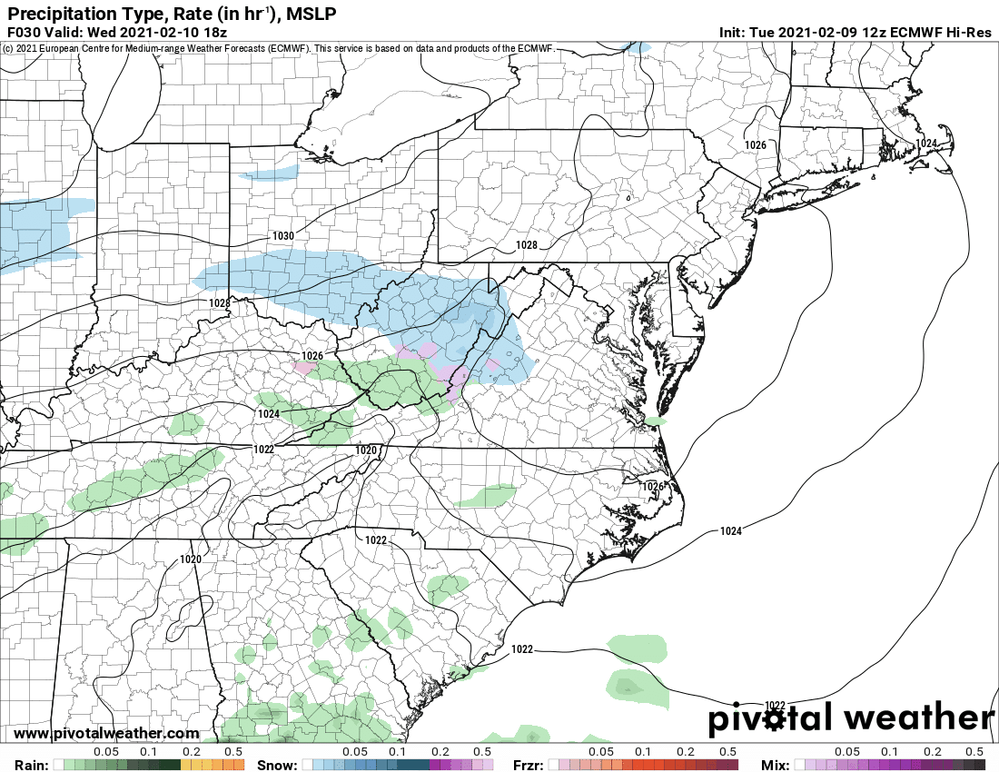
Here is today’s 12z run of the European model, depicting the timing of the snowfall, entering the state tomorrow evening and ending Friday morning: