Nice Today into Tomorrow; Cold Front Brings Storms Tomorrow Evening

Current Surface Map
Current Surface Map
Following a frontal passage, high pressure is working into the region and will bring lower humidity levels and mostly sunny skies today. Highs will be in the mid to upper 80s.

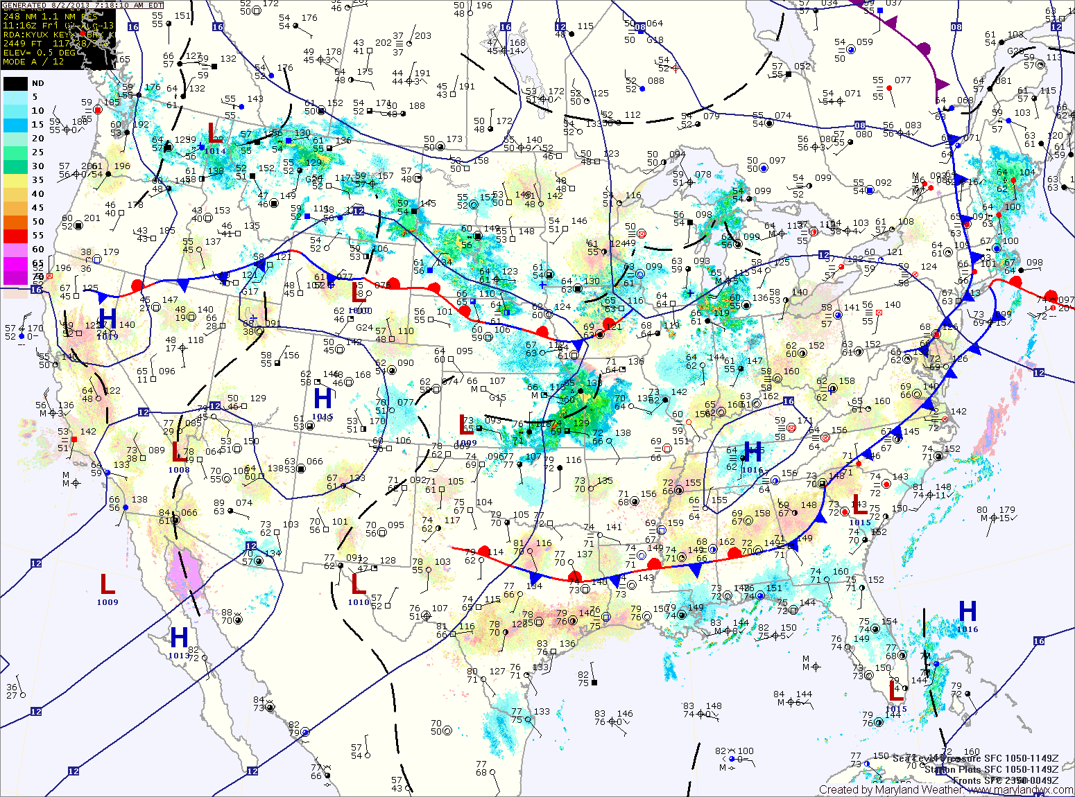
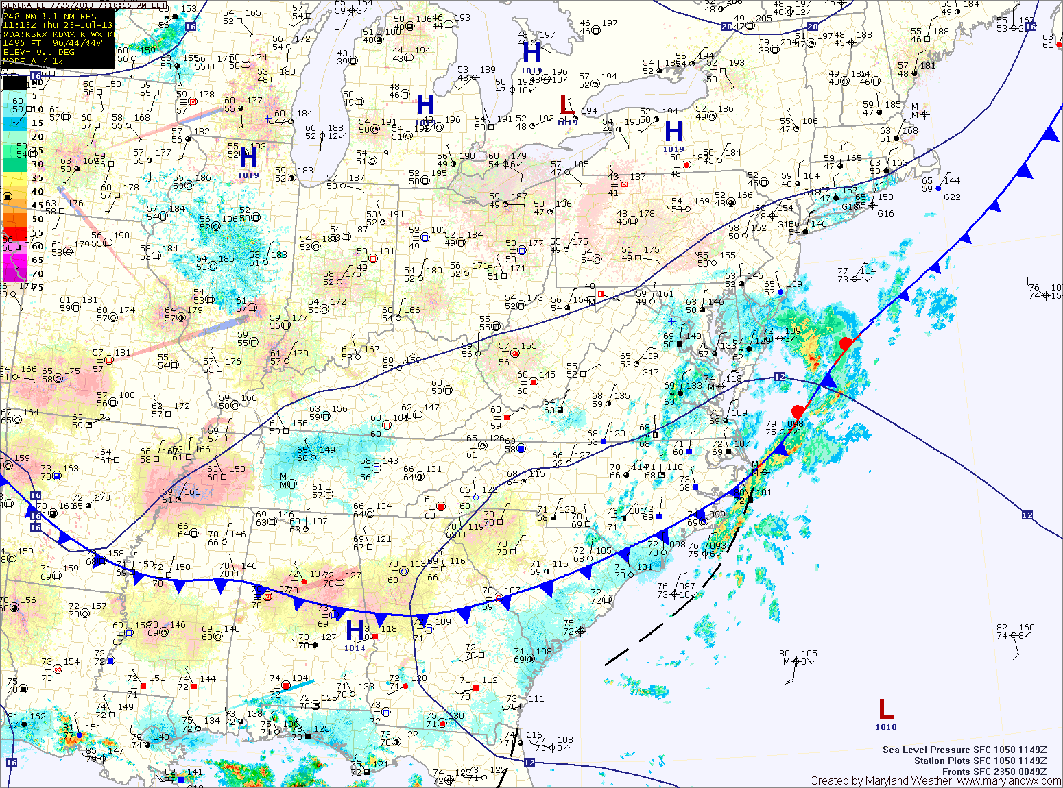
Another cold front will approach from the west tomorrow. This front will bring showers and thunderstorms to the state as it moves in tomorrow evening and tomorrow night. Highs will be in the mid 80s.

The front moves through tomorrow night, allowing high pressure to build back in on Sunday. Expect early morning clouds to give way to a mostly sunny afternoon with highs in the low to mid 80s.

Mostly Cloudy, Cooler Today

Current Surface Map
Current Surface Map
A cold front has passed through the state and is just off shore. The front has brought much cooler and drier air to the region, dropping dew points into the 50s and setting up afternoon highs in the upper 70s to near 80.

An area of low pressure moving along the front will keep clouds over the area and bring showers to the lower eastern shore today into tomorrow.

Clouds will decrease during the day tomorrow as the coastal low moves away from the area. Highs will push back into the mid 80s.

Another cold front will move towards the area on Saturday and southerly flow will develop ahead of it. This will bring a return to warmer and more humid conditions. Scattered afternoon showers and thunderstorms will be possible. Highs will be in the mid to upper 80s.

Partly Sunny Today

Current Surface Map
Current Surface Map
As a cold front slips through the state today, partly sunny skies will dominate the day with just a slight chance of an isolated afternoon thunderstorm. Highs will be in the mid 80s.

The cold front will usher in much drier air and set up a Thursday that will feature below normal temperatures. Highs will top out around 80 degrees with dew points in the 50s.

Clouds will still be prevalent on Friday, as an area of low pressure moves along the front, just off shore. The low should be far enough away to keep the area dry, despite the clouds. Highs will rebound a bit and push into the low to mid 80s.

Warm and Humid Today; Afternoon and Evening Storms

Current Surface Map
Current Surface Map
Today will be much like yesterday with highs in the upper 80s and scattered afternoon and evening thunderstorms.

A cold front will push southward tomorrow bringing another slight chance of storms but also cooler and drier air for the remainder of the work week. Highs tomorrow will be in the mid 80s.

Thursday looks mostly sunny and dry, with low humidity and highs in the low 80s.

Friday will be similar to Thursday, mostly sunny with highs in the low to mid 80s.

Sprinkles this Morning; Decreasing Clouds this Afternoon

Current Surface Map
Current Surface Map
The front and storm system responsible for yesterday’s severe weather have move out of the area. Some left over sprinkles are currently affecting central and eastern Maryland but they will continue to slide through and will end over the next few hours.

Expect decreasing clouds this afternoon and highs in the upper 70s to around 80.

Tomorrow will be pleasant, with ample sunshine and highs in the low 80s with low humidity.

High pressure will slide off the Carolina coast Saturday night, setting up southerly flow while a cold front moves southward towards the area. This will cause temperatures to warm, humidity to increase and touch off an isolated afternoon shower or thunderstorm. Highs on Sunday will be in the mid 80s.

One More Day of Light Rain

Current Surface Map
Current Surface Map
High pressure off the coast will continue easterly flow off the Atlantic Ocean, fueling drizzle and light rain across the state. The rain will continue through this afternoon. Highs will be in the low 60s.

The high will push back to the west tonight and should bring an end to the rainfall. Skies will begin to clear overnight tonight.

Tomorrow, the high will continue to bring in drier air. Expect partly sunny skies with highs in the upper 60s.

The high will strengthen its influence on the area Thursday and Friday as it continues to move into the area. Highs both days will be in the mid to upper 60s under partly sunny skies.

Rain Moves Out; Drier Air Moves In

Current Surface Map
Showers associated with a cold front will continue to move through the area this morning as the cold front moves off the coast. Rainfall should come to an end later this morning as the front clears the state. A few breaks in the cloud cover are expected by this evening and highs today will push into the low 70s.

Cooler and drier air will filter into the region tonight and through this weekend. Highs tomorrow and Sunday will be in the mid 60s under mostly sunny skies.

A mostly dry stretch appears to be on tap next week. High pressure will dominate the weather for the eastern portion of the country, blocking weather systems from the region.

Showers This Morning; Isolated Storms This Afternoon

Current Surface Map
A cold front is triggering showers around the state this morning and will stall out as it moves through central Maryland this afternoon. This will keep a slight chance of a thunderstorm in the forecast into this evening. Otherwise, expect decreasing clouds as we move through the day. Highs will be in the upper 80s to around 90 degrees.

A mostly sunny Friday is on tap with highs around 90 degrees.

A second cold front will push through the state on Saturday, accompanied by showers and thunderstorms.

Unsettled Weather Continues

Current Surface Map
A weak cold front is moving towards the area today and will help touch off isolated showers and thunderstorms. Like the past few days, the showers and storms will be capable of producing locally heavy rainfall. Highs today will be in the mid to upper 80s.

A second front will move through the area tomorrow before stalling out around the bay. Tomorrow should be mostly dry, with a slight chance of a shower as a second cold front moves in and washes out as it pushes towards the bay. Highs will be around 90 degrees.