Sunny today; Cold front Wednesday

Current Surface Map
Current Surface Map
High pressure will remain overhead today, leading to sunny skies and high temperatures in the low to mid 70s.

The high will slide off the coast tomorrow, allowing southerly flow to develop. This will increase moisture and lead to increasing clouds through the day. Highs will be in the mid 70s.

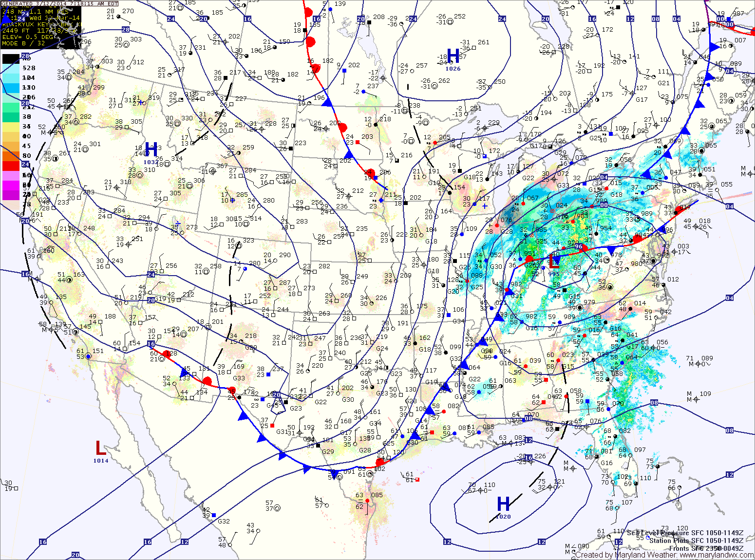
A cold front will approach tomorrow night and pass through Wednesday night. The front will bring showers and possibly thunderstorms to the region during the day Wednesday. Some of the storms could be severe with damaging winds. Highs will be in the upper 70s to low 80s.

Showers and possibly a thunderstorm today; Much colder tomorrow

Current Surface Map
Current Surface Map
A Wind Advisory is in effect this evening into tomorrow morning for the entire state except the lower eastern shore


An area of low pressure and a strong cold front will move into and through the area today and tonight. Ahead of the system, strong southerly flow will push temperatures into the upper 60s to around 70 this afternoon.

Expect showers to develop later this morning into this afternoon. As the front moves closer this afternoon and evening, thunderstorms will be possible. There is a slight risk that these storms may be severe with strong, damaging winds as the primary threat. Stay alert for possible watches and warnings this afternoon and evening.

The front will clear the area late tonight, bringing in much colder air and strong gusty winds. Winds could gust to near 50mph tonight and tomorrow morning.

Hazy, Hot and Humid; Scattered Afternoon Storms

Current Surface Map
Current Surface Map
Another hot and humid day is on tap today. Highs will once again be in the mid to upper 90s with heat index values near 110. An Excessive Heat Warning is in effect for Washington and Baltimore, while a Heat Advisory is in effect for the surrounding counties in central Maryland.

There will also be scattered thunderstorms this afternoon. The storms will be capable of producing gusty winds, heavy rainfall and large hail.

A cold front will approach tomorrow, but will remain to our north resulting in another hot and humid day with afternoon and evening thunderstorms. Highs will be in the mid 90s. The storms could be strong to severe, with damaging winds, large hail and locally heavy rainfall.

Heat Peaks Today; Strong Thunderstorms Likely This Weekend

Current Surface Map
Current Surface Map
High pressure will move overhead today and bring the hottest conditions of the week. Highs will likely top out in the mid to upper 90s with higher humidity values making it feel over 105. A Heat Advisory is in effect central Maryland through this evening.

Afternoon thunderstorms will likely develop over the mountains and move eastward towards the Baltimore/Washington metro during the late afternoon hours. This activity is expected to be isolated but areas that do see storms could see brief heavy rainfall and gusty winds.

Tomorrow will be similar to today, possibly a few degrees cooler with a slight chance of afternoon storms. Highs will be in the mid 90s with dewpoints in the low to mid 70s and heat indices near 105.

Warm and Humid Today; Isolated Storms Possible

Current Surface Map
Current Surface Map
With high pressure off the coast, southerly flow will continue to pump warm and humid air into the region. Today will become mostly sunny with a high in the mid 80s. As the heat and humidity increase this afternoon, an isolated pop-up shower or thunderstorm is possible.

Tomorrow will be much like today, warm and humid with isolated afternoon showers and thunderstorms. Some of the storms may become strong to severe with damaging winds being the primary threat. Highs again in the mid 80s.

Thunderstorm chances increase Thursday afternoon as a cold front approaches from the west. Highs will be in the low to mid 80s.

Warm & Humid; Afternoon Thunderstorms

Current Surface Map
Current Surface Map
High pressure will bring warm and humid conditions to the area as it builds in and then off the coast. Meanwhile, a cold front will approach from the west.

The combination of the two will kick off scattered showers and thunderstorms this afternoon and evening. Some of the storms may become severe with damaging winds, heavy rainfall and large hail, especially across western Maryland. Highs today will be in the low to mid 80s.

Thunderstorm activity will diminish tonight with the loss of daylight, but showers will remain possible through the overnight.

Showers and Storms, Severe Weather Likely This Afternoon

Current Surface Map
A strong cold front is approaching from the west while an area of low pressure ahead of is bringing rainfall to the state. One round of rain pushed through overnight and another round is currently pushing in from the west.

SPC Tornado Outlook
The entire state is in a Slight Risk for severe weather this afternoon, with the greatest chances east of the mountains. The Storm Prediction Center has placed this area under a 10% chance of tornadoes this afternoon.

Expect rainfall to continue to build through the morning with thunderstorms developing after noon. The best chance for severe storms will be later this afternoon and evening as the front moves closer. Damaging winds, heavy rain and isolated tornadoes are possible. Please stay alert and check for watches and warnings as we move into the afternoon.

Thunderstorms Likely Tonight; Showers Possible Sunday

Current Surface Map
A cold front will cross the region tonight, bringing scattered thunderstorms as it does. These storms will be capable of damaging winds and locally heavy rainfall. Prior to the frontal passage, expect partly sunny skies today with highs around 90°.

The cold front will stall just to our east tomorrow, keeping thunderstorm chances in the forecast into the afternoon and allowing cooler air to filter into the area. Highs will only be in the low 80s.

An area of low pressure may form along the front and move through our area on Sunday, bringing another chance of showers as it does. After the low moves through, clearing is expected during the afternoon as high pressure takes control. Highs Sunday will around 80°.

Mostly Sunny, Chance of Afternoon Storms

Current Surface Map
As a cold front works its way through the state today, expect mostly sunny skies, giving way to scattered showers and thunderstorms again this afternoon.

Some of the storms could become severe with damaging winds, especially along and east of I-95. Highs today will be in the upper 80s.

The front clears tonight and ushers in sunshine and drier air tomorrow. Highs will be in the mid to upper 80s.

Another front approaches on Friday, increasing moisture and rain chances again. Scattered thunderstorms are expected Friday afternoon and evening. These storms may also become severe. Highs will be around 90.

Slight Chance of Storms Today, Better Chance Tomorrow

Current Surface Map
Scattered showers and thunderstorms are expected to develop over the mountains today and will move eastward into Central and Eastern Maryland through the afternoon and evening.

The activity will be isolated and most spots will remain dry. Any areas that do get a storm can expect brief heavy rainfall and gusty winds. Highs will be in the upper 80s.

As low pressure and a cold front approach tomorrow, rain and thunderstorm chances increase dramatically. Expect more widespread rainfall tomorrow afternoon and into the night with scattered thunderstorms as well. Some of the storms may become severe with damaging wind as the primary threat. Highs will be in the upper 80s.