Warm, dry week on tap

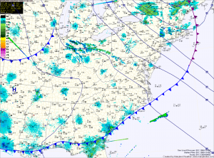
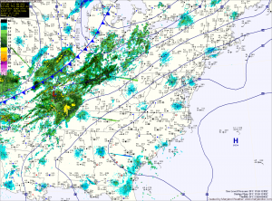
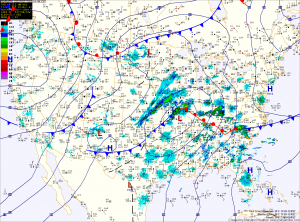
High pressure off the coast and low pressure to the west will continue to pump warm air up the east coast today, setting the stage for another warm and dry day. Highs today will again be in the mid to upper 80s under mostly sunny skies.

A weakening cold front will cross the area tonight, bringing in cooler air tomorrow and Wednesday. Highs tomorrow will be near 60 in the mountains, in the low 70s elsewhere and highs Wednesday will be in the mid to upper 60s statewide.

Sunny and warm through the weekend

Current Surface Map
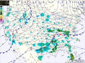
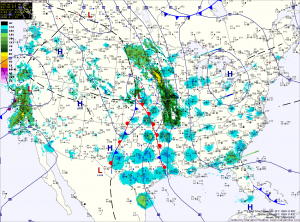
As high pressure moves off the coast today, southerly flow around it will set up and begin to pump warmer air into the region. Highs today will push into the mid 60s and will rise into the mid 70s tomorrow and low 80s on Sunday. The high will also continue the stretch of dry weather through the weekend.

As a strong area of low pressure moves into the center of the country, the southerly flow will increase and temperatures will rise into the mid 80s on Monday and Tuesday.

Slight chance of a shower this evening

Current Surface Map

Today will be partly sunny, with highs in the upper 60s.  It will be breezy, with wind gusts to near 30mph this afternoon.

A cold front will cross the area late this afternoon, bringing a slight chance of showers through this evening.  Behind the front, temperatures will be about 10 degrees cooler tomorrow, under partly sunny skies.

Another disturbance will move through on Wednesday, bringing another chance of showers and more gusty winds.  Highs will again top out in the upper 50s.

Sunny and cool stretch continues

Current Surface Map
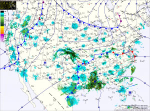
High pressure building in from the north will help push a strong storm system to the south and away from the area. It will also continue the dry and sunny conditions through the weekend.

Today will be mostly sunny with highs around 60. Temperatures will drop into the 30s tonight, but a light wind should help keep frost from forming in most areas.

Tomorrow is Opening Day for the Orioles and the weather will cooperate. Expect sunny skies, with highs in the upper 50s to low 60s.

Dry through the weekend

Current Surface Map
Today will be partly sunny and warm, with highs in the low 70s in most areas. This afternoon, a cold front will cross the area and will usher in cooler air for the remainder of the week and into the weekend. There is a very slight chance of a shower with this frontal passage.

Temperatures tonight will fall back into the low 40s and will approach 60 tomorrow under sunny skies. Friday looks to be a few degrees warmer with abundant sunshine. This should make for a great Opening Day for the Orioles.

Sunny today, chance of showers tomorrow

Current Surface Map
After a cold morning, temperatures will continue to climb into the 50s under mostly sunny skies. Another cold front will approach tomorrow, bringing a chance of showers and thunderstorms during the afternoon and evening. Highs tomorrow will approach 70 in most areas.

Behind the front temperatures will remain above normal with highs on Thursday through Saturday in the low to mid 60s.

Windy and warm Thursday

Current Surface Map
We started out today with a low temperature of 54 degrees, which is 3 degrees warmer than the average high for this time of year and will end up today about 20 degrees above normal. Strong southerly winds courtesy of a high pressure area off the coast will continue to bring in warmer air ahead of a cold front that will move through overnight. Highs will be a few degrees warmer than yesterday, eclipsing 70 in most spots while winds gust to around 35mph.

Quiet stretch

We are entering a stretch of quiet and calm weather over the couple of days. Aside from showers associated with a cold front Thursday night and Friday morning, the calm…

Rain develops this afternoon

Current Surface Map
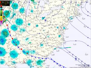
An area of low pressure currently over Missouri will move into the Great Lakes today, bringing a warm front through the area this evening followed by a cold front early tomorrow morning. A similar situation to last week may develop, where the cold air is harder to dislodge than anticipated, which may limit the advance of the warm front. In any event, temperatures this afternoon will push into the mid 50s, ahead of the cloud cover and rain that will develop later this afternoon or evening.