Cloudy and cooler today; Cold front moves towards the area tomorrow

Current Surface Map
Current Surface Map
A backdoor cold front has pressed through central Maryland, spreading Atlantic moisture and clouds into the state. Areas of fog and drizzle will persist for the next few hours before burning off but clouds will remain through the day. It will also be cooler than the past few days, with highs in the mid 70s.

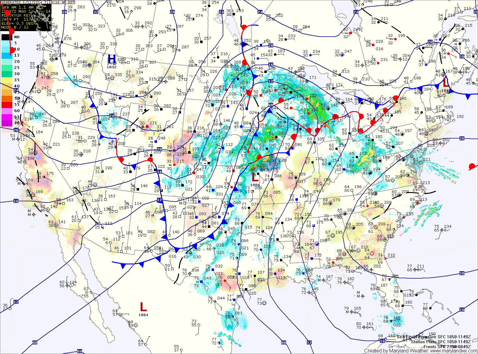
A cold front will approach tomorrow, first pushing a warm front through during the morning. This will lead to a partly sunny afternoon with breezy southeast winds. Highs will be around 80.

Scattered showers will likely begin to move into the area later tomorrow afternoon or evening as the front moves closer.

Rain chances will increase dramatically tomorrow night and Friday. Expect more widespread rain and embedded thunderstorms. The rain could be heavy at times. Highs on Friday will be in the low 70s.

Scattered thunderstorms this afternoon

Current Surface Map
Current Surface Map
Low pressure and a cold front over the midwest will remain to our west today while a backdoor cold front will move towards the state from the northeast. This will set the stage for another round of scattered thunderstorms this afternoon. Highs will be in the mid to upper 80s.

Showers are possible through tonight and into tomorrow morning. Rain chances then taper tomorrow, but isolated showers are still possible. It will be cooler, with highs in the mid 70s.

Thursday will start out dry, but a warm front will push through during the morning hours. This will lead to possible showers and thunderstorms during the afternoon and evening. Highs will be in the low 80s.