
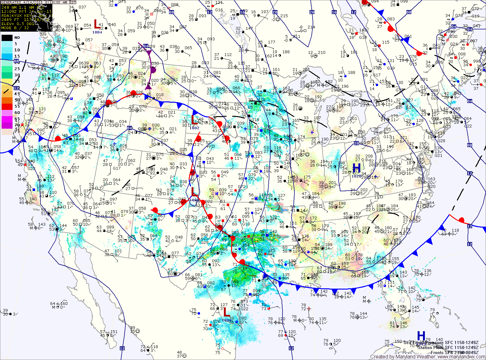
TODAY: With high pressure building in, expect sunny skies but breezy and cool. Highs will be in the upper 50s to around 60°. Winds will decrease tonight and temperatures will fall into the upper 20s to low 30s.
A Freeze Watch is in effect for northern and western areas while patchy frost is likely elsewhere, especially away from the bay.
SATURDAY: Clouds will be on the increase during the day as low pressure approaches from the midwest. The system will slide south of our area bringing showers to the state during the evening and overnight hours. Highs will be in the mid 50s.
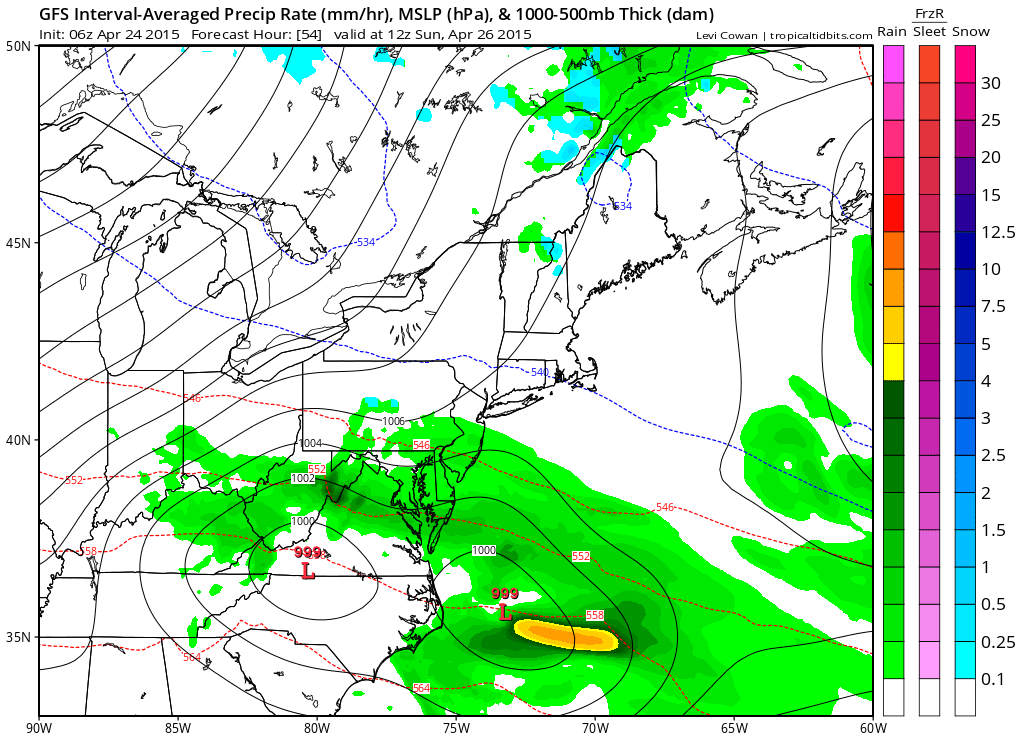
MONDAY: The entire region will be under the influence of an upper level low over the northeast which will keep temperatures down and supply clouds and light showers. Expect highs to remain in the upper 50s under partly sunny skies with scattered showers possible in the afternoon.
TUESDAY: Temperatures will start to climb back towards normal for this time of year. Skies will be mostly sunny and highs will be in the low 60s.
OUTLOOK: The warming trend will continue on Wednesday with highs pushing into the mid to upper 60s. Another system will bring a chance of rain Thursday and Friday as temperatures trend back downward to end the week.
Stay up to date with storm information on your favorite social media site!
Follow me on Twitter, Facebook and Google+!