
The Vane has two good articles that I recommend reading that outlined what happened as well as the results with pictures from around the area.
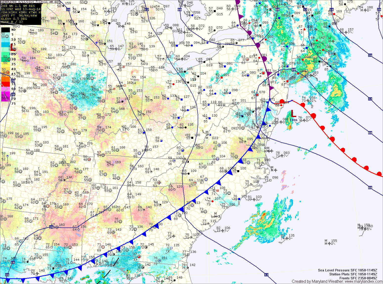
The cold front responsible for the heavy rainfall and flooding has pushed east of the state, ushering in drier air. Expect mostly sunny skies today and highs in the low 80s.
Expect mostly sunny skies and highs around 80 right through the end of the week and into the weekend.
By the weekend, high pressure will slide off of the coast and southerly flow will allow temperatures and humidity to increase again. It should remain dry but highs will bump up into the upper 80s to near 90 by Sunday.
Showers and thunderstorms will enter the forecast again as we move into next week.
Yesterday’s Weather Station Stats:
High Temp: 74.0°
Low Temp: 68.4°
Rain: 5.15″