
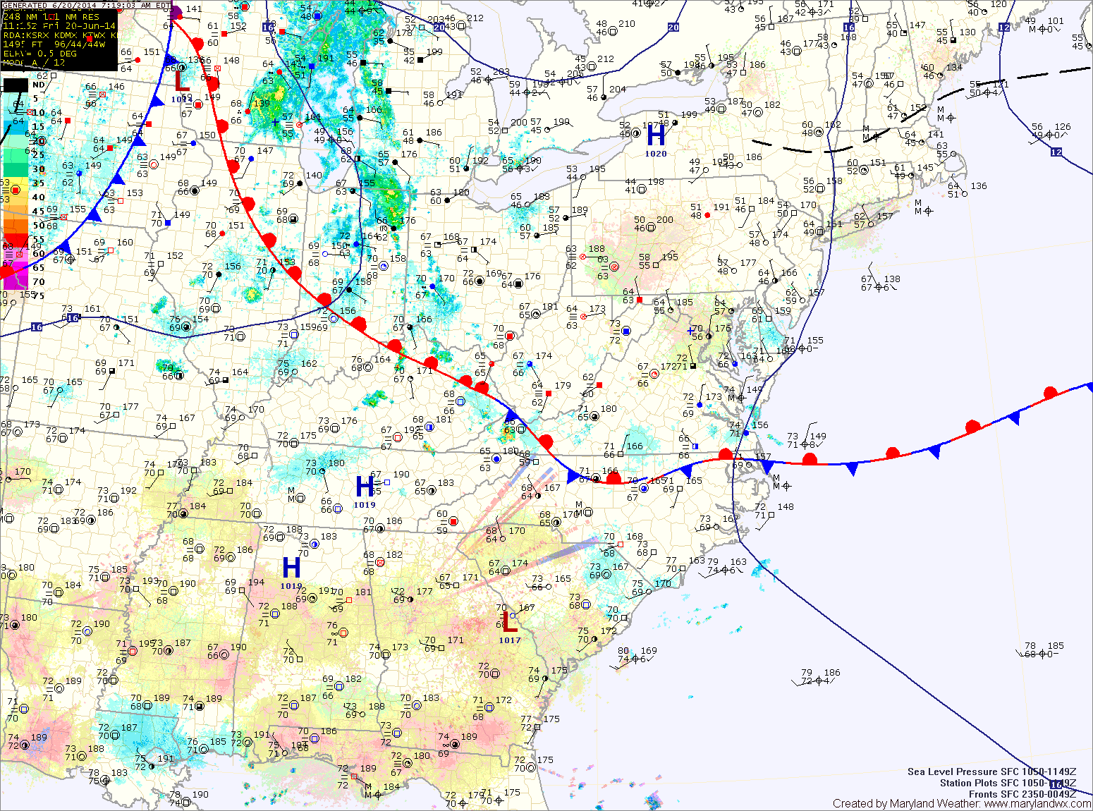
The front will remain to our south tonight as an area of low pressure forms to the west and rides along it. Expect showers to develop late tonight and last through tomorrow morning and into the afternoon before tapering off during the late afternoon hours. Highs will be in the low to mid 70s.
Sunday should be mostly dry with just a slight chance of an afternoon or evening thunderstorm. Highs will be in the low 80s.
Monday will be mostly sunny and a few degrees warmer than Sunday with highs in the low to mid 80s.
Temperatures and humidity will continue to increase ahead of a cold front on Tuesday. Expect highs in the mid 80s with isolated thunderstorms during the late afternoon and evening.
The front will pass through during the day on Wednesday, providing a better chance of showers and storms. Highs will be in the mid to upper 80s.
Yesterday’s Weather Station Stats:
High Temp: 83.2°
Low Temp: 67.8°
Rain: 1.09″