
A FLASH FLOOD WATCH is in effect until 10pm tonight for most of central Maryland.
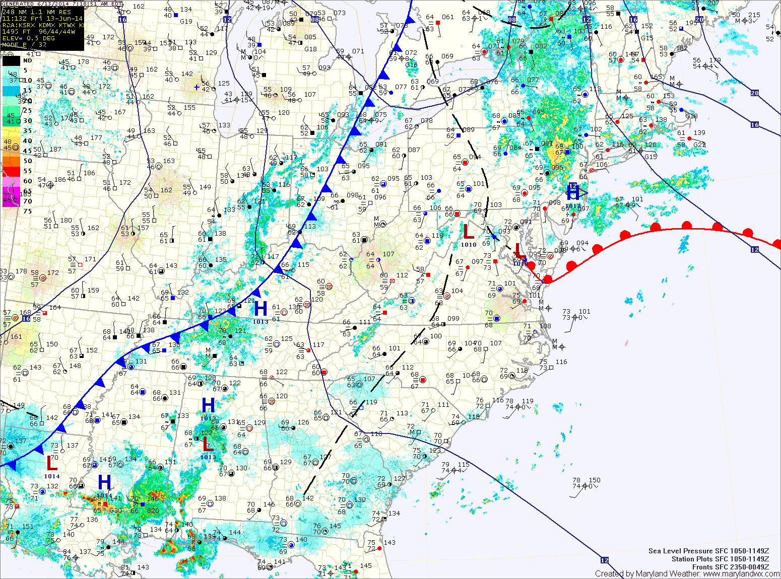
Showers and thunderstorms will be likely again today into tonight as the front moves through. Some of the storms could produce locally heavy rainfall and flash flooding. Highs will be in the mid 80s.
The front will cross the area tonight, bringing an end to the rainfall.
High pressure moves in tomorrow, providing sunny skies and drier air. Highs will be around 80.
The cold front that passes through tonight will likely move back northward on Sunday as a warm front as the high pressure moves offshore. Skies will remain mostly sunny but highs will be a few degrees warmer and moisture will begin to move back into the area later in the day. Highs will be in the low to mid 80s.
As the high remains off the coast, southerly flow will continue to pump warmer and more humid air back into the region. Monday will see highs in the mid 80s with a slight chance of afternoon thunderstorms.
Highs on Tuesday will approach 90 with isolated thunderstorms possible.
Highs will remain around 90 Wednesday and Thursday with increasing thunderstorm chances each day.
Yesterday’s Weather Station Stats:
High Temp: 76.4°
Low Temp: 67.6°
Rain: 1.19″