
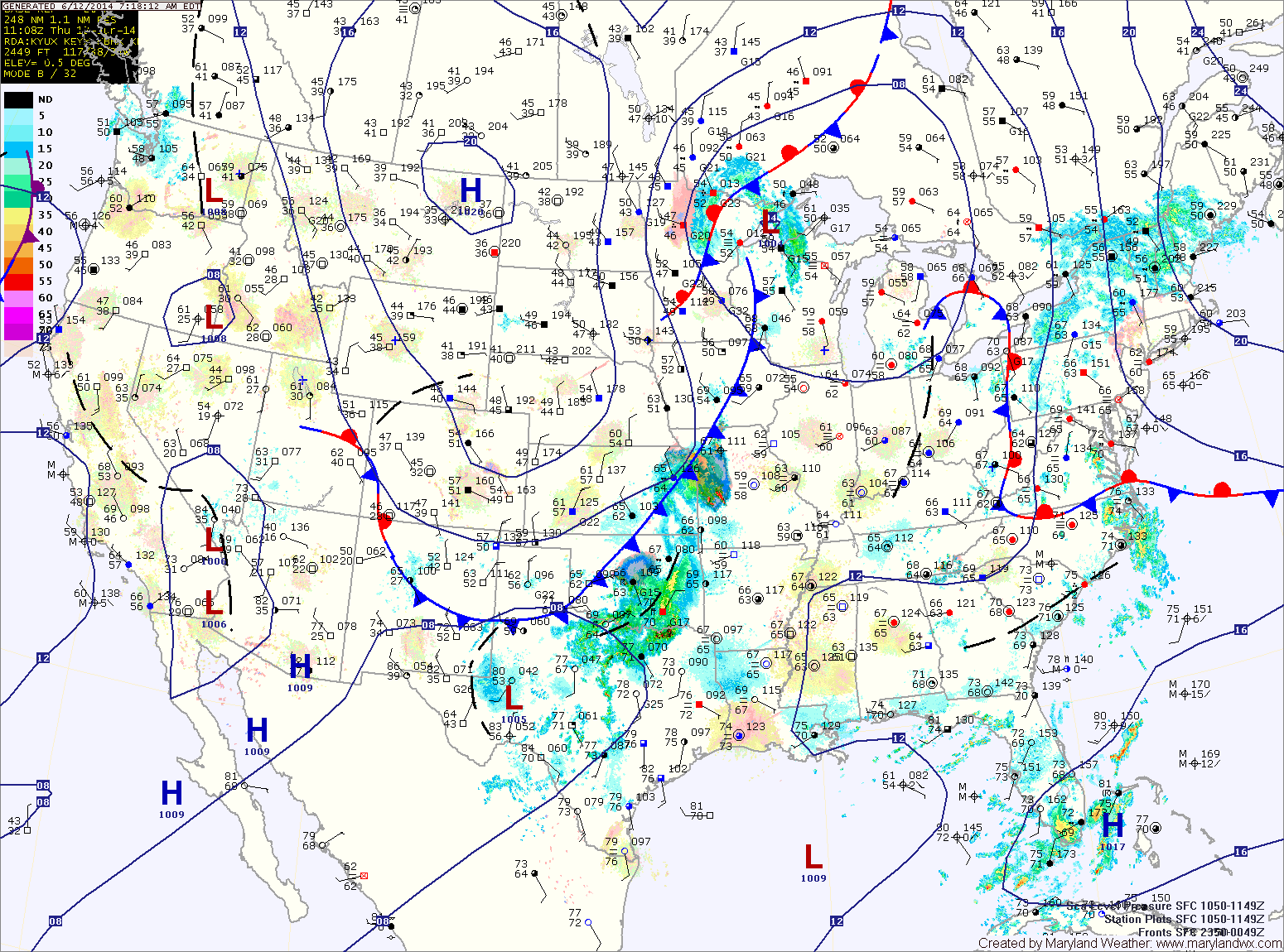
With warm and humid air still in place, expect another round of showers and thunderstorms today. The storms will have ample moisture and localized flash flooding is possible this afternoon and evening. Highs will be in the low to mid 80s.
The storm threat will decrease tonight, but scattered showers and isolated storms are still possible through the overnight.
A cold front will approach tomorrow, firing up another round of showers and storms. Once again, these storms will be capable of producing locally heavy rainfall leading to flash flooding. Highs will be in the mid 80s.
Showers and storms will continue tomorrow night into early Saturday morning before the front clears the area. Behind the front, high pressure will begin moving in, bringing cooler and drier air for the weekend. Saturday will be mostly sunny with highs in the low 80s.
The high will slide off of the coast Sunday. This will lead to a bump in humidity, but shower and thunderstorm activity should remain to our south. Expect mostly sunny skies and highs in the mid to upper 80s.
Temperatures and humidity will increase next week, with highs on Monday in the upper 80s and around 90 Tuesday and Wednesday. There is a slight chance of afternoon showers and thunderstorms each day.
Yesterday’s Weather Station Stats:
High Temp: 83.1°
Low Temp: 68.1°
Rain: 0.26″