
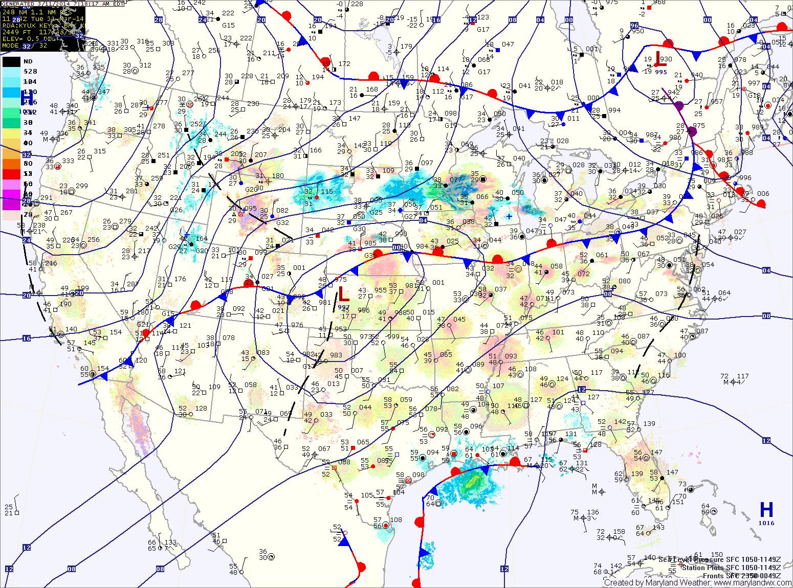
The high will be displaced tomorrow as an area of low pressure and a cold front move toward the area. The system will spread showers into the area tomorrow morning. Additionally, a line of thunderstorms may move through the area tomorrow afternoon. These showers and storms may produce locally gusty winds. Highs will likely reach the upper 60s before the front moves through tomorrow night.
As the front moves through, much colder air will flow into the region as northwest winds increase. Winds will likely gust to near 40mph. Any left over rain showers may turn to snow before ending around midnight.
Thursday will be a cold, blustery day with highs struggling to reach the mid 30s and northwest winds gusting to near 40mph.
Temperatures will moderate Friday and into the weekend. Highs on Friday will be in the low 50s under sunny skies.
Saturday will feature more clouds than Friday, with a slight chance of a shower during the afternoon or evening as a weak cold front approaches. Highs will be in the low 60s.
The front will move through Saturday night. Sunday will be mostly sunny with highs in the low 50s.
Another round of cooler air will move in to start next week. Highs on Monday will be in the low to mid 40s.
Yesterday’s Weather Station Stats:
High Temp: 60.4°
Low Temp: 34.0°
Rain: 0.00″