
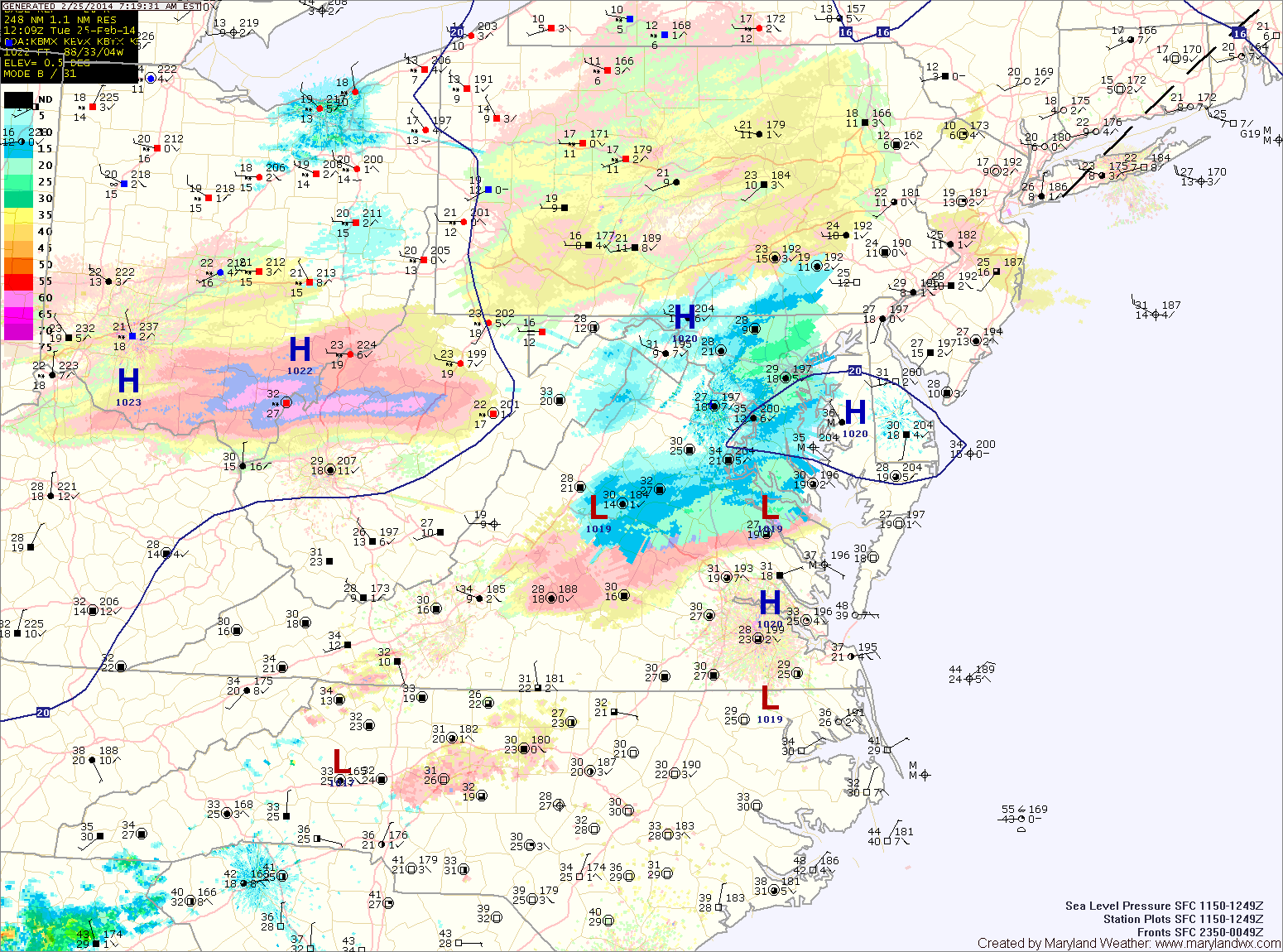
Light snow has overspread the area and will last through the morning. Generally an inch or two of accumulation is expected. Localized spots of up to 3 inches are possible before it ends this afternoon.
Sunshine will break through the clouds this afternoon and it will turn windy. Highs will top out in the low 30s.
Much colder air will move in tonight on gusty northwest winds. Overnight lows will fall into the teens in most places.
Tomorrow will be mostly sunny and breezy with highs in the mid 30s.
Friday will likely be the coldest day of the stretch with highs only reaching the upper 20s to around 30 despite mostly sunny skies.
The weekend looks unsettled with two separate chances for precipitation. Light rain is possible Saturday afternoon with a weak system, while a larger system may affect the area Sunday and Monday.
Yesterday’s Weather Station Stats:
High Temp: 35.8°
Low Temp: 22.6°
Rain: 0.04″ (snow)