
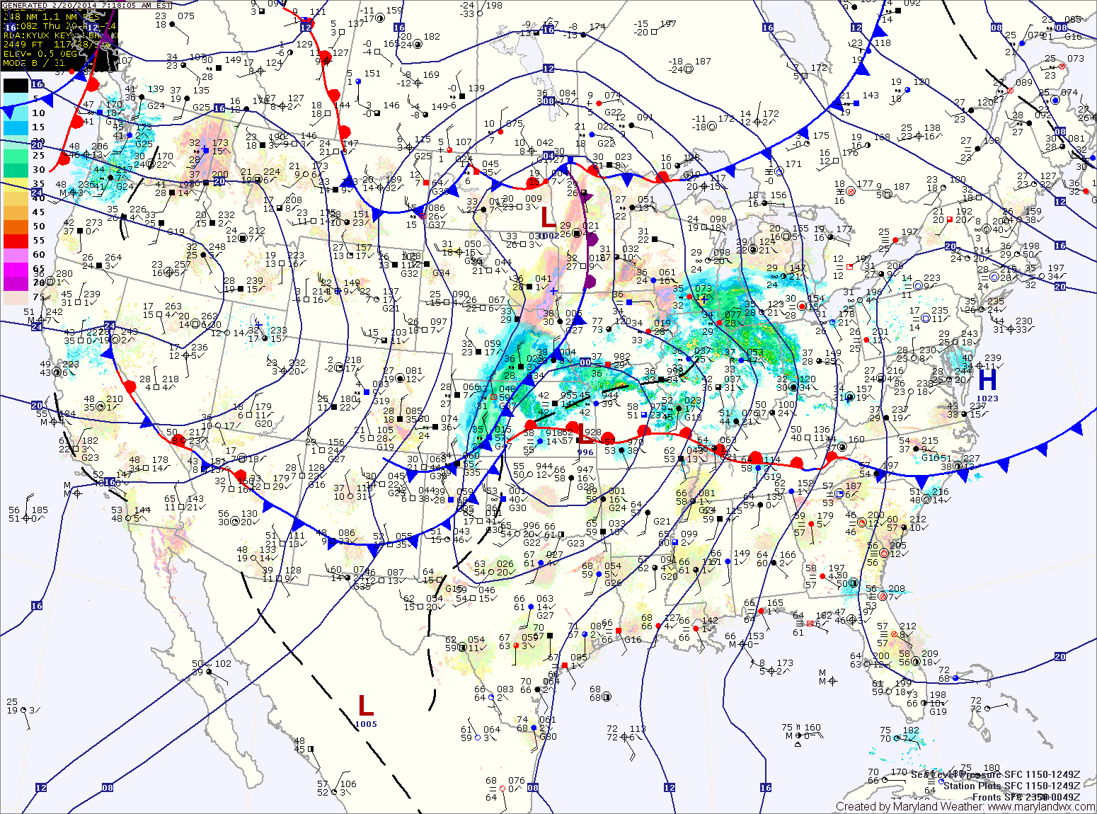
Showers will develop tonight as the front moves closer. The showers will continue tomorrow and a thunderstorm is also possible as the front pushes into the area. Some of the showers and storms could produce locally strong, gusty winds. Highs tomorrow will be in the upper 50s, possibly low 60s depending on the exact timing of the frontal passage. The front should clear the area during the late morning or early afternoon, gradually ending the rain from west to east.
Behind the front, west to southwest flow will keep temperatures up on Saturday. Expect highs to reach the mid to upper 50s under mostly sunny skies.
Another front will push through on Sunday. This front will likely provide little to no moisture and only result in an increase of clouds during the morning and afternoon. Highs will again be mild, in the mid 50s.
Behind this front, Canadian high pressure will build in, resulting in colder temperatures to start next week. Monday’s highs will be in the upper 30s to around 40.
Another storm system may affect the area Tuesday or Wednesday with rain or snow, followed by much colder conditions to end the work week.
Yesterday’s Weather Station Stats:
High Temp: 58.3°
Low Temp: 27.4°
Rain: 0.12″