
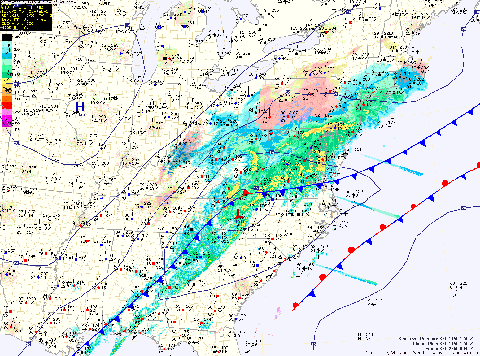
A Winter Storm Warning is in effect for the counties north and west of I-95. In these areas, the changeover has already occurred and up to 6″ of snow may fall.
Further south, along I-95, a Winter Weather Advisory is in effect. 1-3″ of snow is expected in these areas.
South and east of there, the rain will change over to snow later and a trace to perhaps an inch is expected. Souther Maryland and the lower eastern shore may not change over at all.
The rain and snow will wind down from west to east this afternoon, ending by the afternoon rush hour.
Another storm system will affect the area tomorrow night and Wednesday. This storm looks to move by to our northwest, putting us on the warm side. Expect rain to develop Tuesday night, possibly starting as a brief wintry mix. The rain will continue Wednesday, with highs in the mid 40s.
We dry out as we move through the rest of the work week with highs on Thursday and Friday in the low to mid 30s under partly sunny skies.
Yet another system may affect the area Friday night and Saturday. The details of that system will be worked out over the next several days.
Yesterday’s Weather Station Stats:
High Temp: 58.7°
Low Temp: 28.8°
Rain: 0.00″