
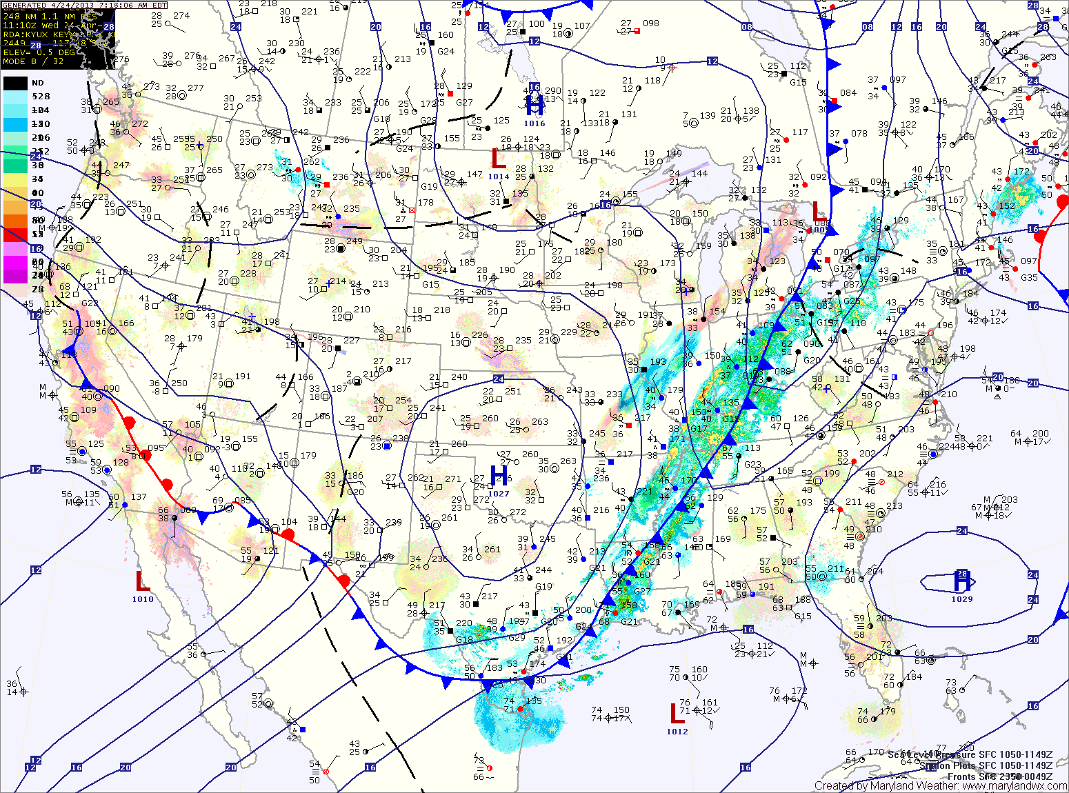
Meanwhile, southerly flow will allow temperatures to warm into the low to mid 70s for highs this afternoon.
The front will cross tonight, bringing a chance of showers and thunderstorms as it does.
The front will have cleared the area by tomorrow, allowing cooler air to move in. Highs tomorrow will be in the low to mid 60s under decreasing clouds.
High pressure builds in Friday, bringing ample sunshine. Highs will be in the low to mid 60s.
The high moves off the coast over the weekend, allowing a bit more cloud cover Saturday and especially Sunday. Highs both days will be in the mid to upper 60s.
Early next week looks to feature more clouds and a slight chance of showers as a series of disturbances move by to our south. Temperatures will be in the upper 60s to around 70.
Yesterday’s Weather Station Stats:
High Temp: 63.6°
Low Temp: 43.9°
Rain: 0.00″