
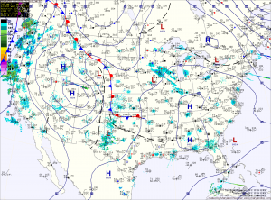
A weak Alberta Clipper will move through tonight, bringing a chance of light snow to the area. Overnight accumulations of a dusting to possibly an inch in spots is possible.
The clipper moves out tomorrow, giving way to mostly sunny skies with highs in the upper 20s to around 30.
Clouds increase again on Friday ahead of the next storm system that looks to bring light snow to the area Friday afternoon into Friday night. Highs Friday wil be in the upper 20s.
Current model trends are for a colder solution which means snow is now the most likely precipitation type. The system is also looking to be weaker and a fast mover, meaning accumulations would be minimal.
Behind the system, a cold and sunny weekend will lead into a warming trend next week.
Yesterday’s Weather Station Stats:
High Temp: 29.8° (at midnight, afternoon high of 23.2°)
Low Temp: 16.2°
Rain: 0.00″