
Tomorrow is the first day of spring, but it is shaping up to be a wintry mess. An area of low pressure will spread rain into the state late tonight or early tomorrow morning. The rain will transition to a wintry mix during the morning hours tomorrow, mainly north and west of I-95. A light accumulation of snow and sleet is likely, mainly on grassy surfaces, before the precipitation winds down and becomes more scattered during the afternoon.
Another system will move in tomorrow evening, bringing another round of wintry precipitation into Wednesday morning. This system will feature more frozen precip than the first, and will likely add to the snow and sleet accumulation before pulling away during the afternoon hours on Wednesday.
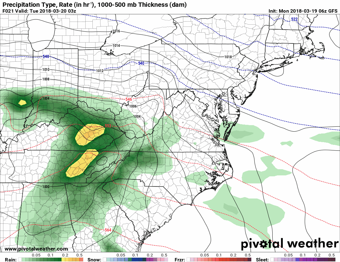
Here is an animation of the GFS model from 11pm tonight through 8am Thursday, showing the two systems:
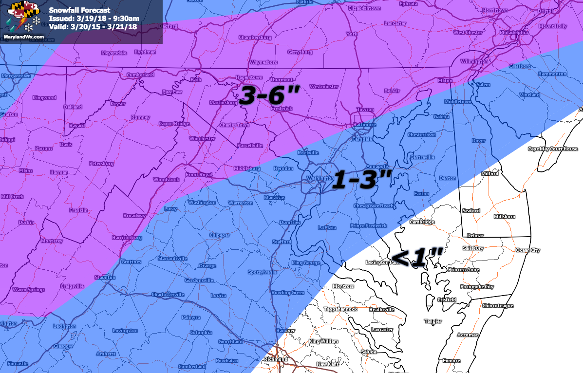
Here is my forecast for snow and sleet totals:
I will post updates to Facebook and Twitter, and update this blog if needed later today.
Want the latest blog posts emailed to you?