
Summary: Low pressure will push through tonight into tomorrow. Cold high pressure builds in Sunday followed by a cold front on Monday.
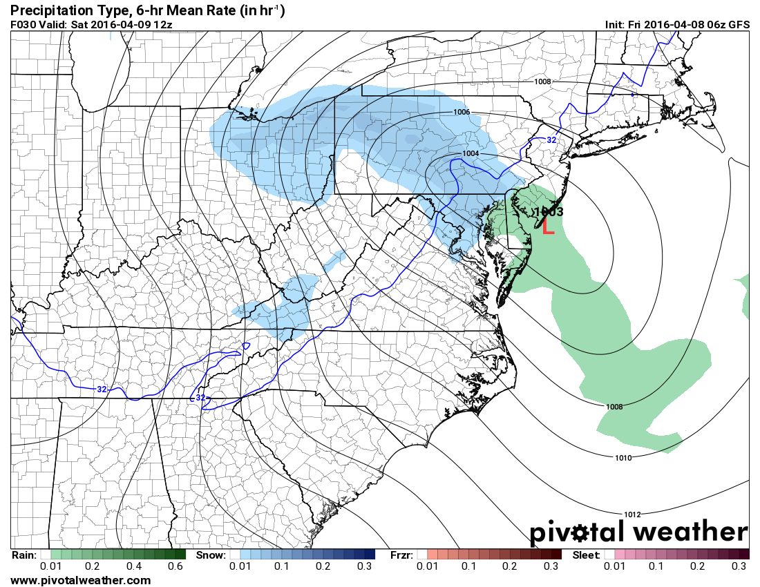 An area of low pressure will move into the area late tonight and move through tomorrow. This system will combine with below normal temperatures to produce rain and snow showers across the state beginning late tonight and persisting into tomorrow evening.
The mountains will see mostly if not all snow, while further east, expect a rain/snow mix tonight, possibly changing to mostly snow by tomorrow morning then back to rain/snow showers tomorrow afternoon and evening.
Accumulations will be confined to the mountains, where a Winter Weather Advisory is in effect for 1-3″ of snow. It will also be windy, with wind gusts to near 40 mph at times.
The system will push eastward and away from our area tomorrow night but strong northwest winds will continue and temperatures will fall well below freezing across most of the state by Sunday morning.
High pressure builds in on Sunday, diminishing winds but keeping temperatures down. Highs will top out in the 40s state wide.
Another system will approach on Monday and push a cold front through on Tuesday with showers likely both days.