
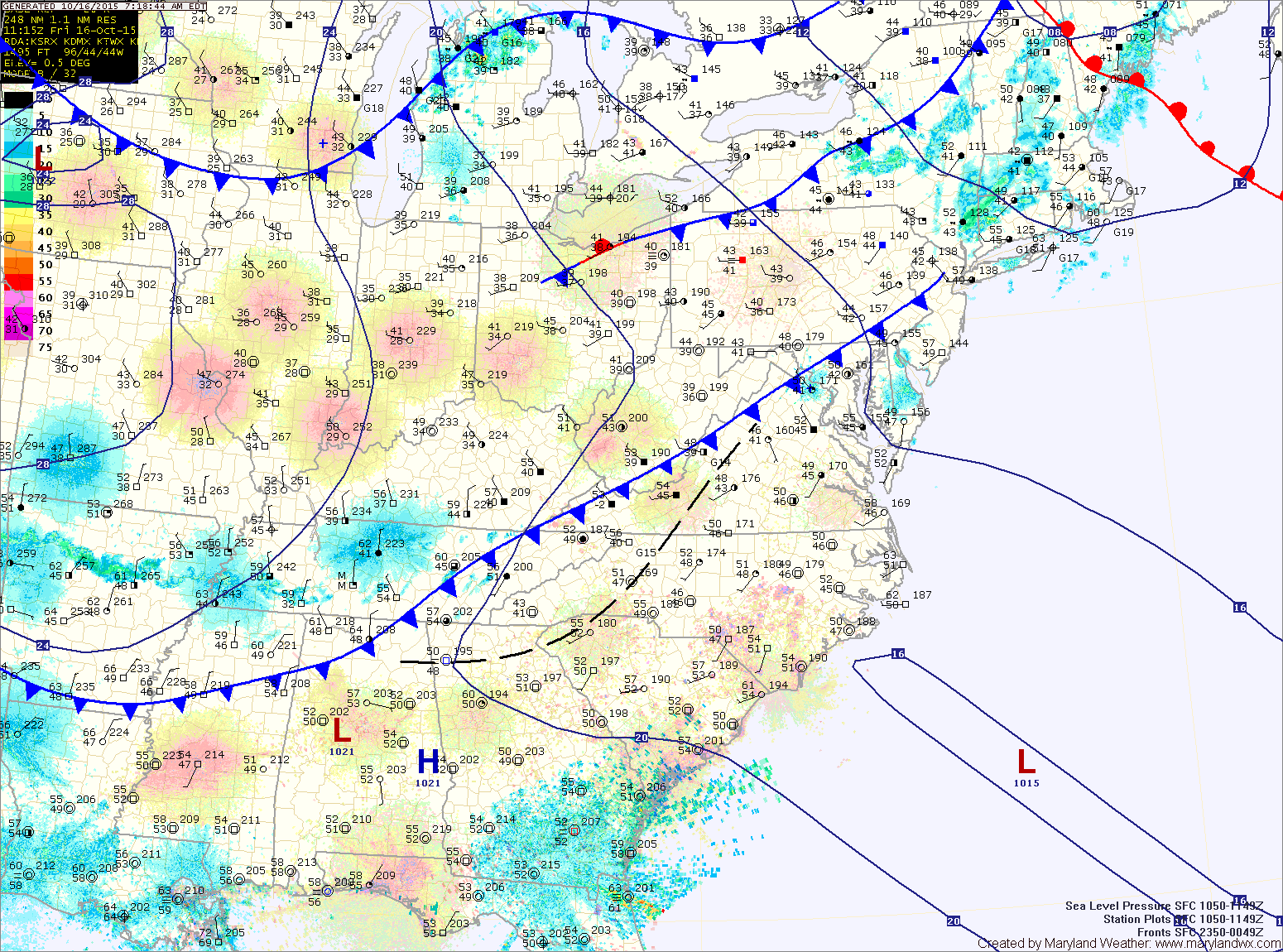
Summary: A cold front is passing through the state this morning and will be followed by cool Canadian high pressure. The high will remain in place into next week.
Cool high pressure will build in this weekend. Highs tomorrow will be in the mid 50s with overnight lows dropping into the mid 30s across most of the state. In the mountains of western Maryland, lows will fall into the upper 20s to low 30s. As a result, a Freeze Watch has been issued for Allegany county.
Highs will reach the low to mid 50s on Sunday under variable clouds. The clouds will be a result of lake effect showers/snow showers that may reach western Maryland.
Lows will likely be a few degrees colder than tomorrow night, falling into the low 30s in most places, with mid to upper 20s likely in the mountains. Widespread frost and freeze is likely.
Monday looks to be sunny but continued cool, with highs in the low 50s. We will begin to warm on Tuesday as the high pressure slides offshore. Expect highs to reach the 60s and be near 70 by Wednesday and Thursday.
Stay up to date with storm information on your favorite social media site!
Follow me on Twitter, Facebook and Google+!