
The much anticipated strong cold front that will flip the weather pattern is on our door step today and will pass through tonight. Showers are entering western Maryland this morning and will spread eastward as the front moves closer today. As the front moves through, left over rain showers could mix with snow, especially in the mountains tonight into early tomorrow morning.
Temperatures will climb to the upper 50s to low 60s today as southerly flow ahead of the front pumps in warmer air. Once the front passes, much colder air will flow in on gusty northwest winds and as a result, highs tomorrow will only be in the mid to upper 40s. Highs will be in the upper 30s to low 40s Thursday through Sunday.
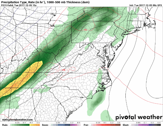
Frontal passage with showers, possibly mixed with snow
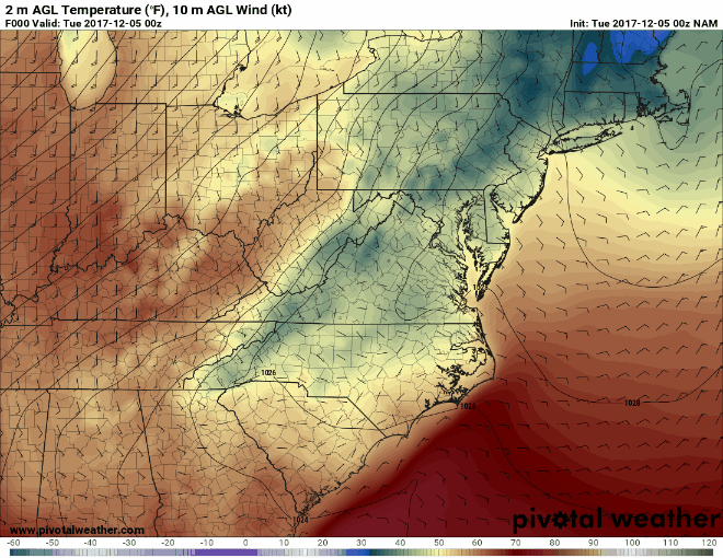
Cold air pours in behind the front
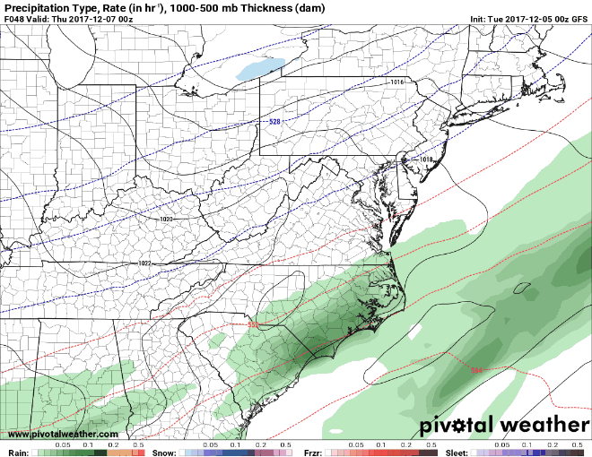
As the cold settles in, low pressure is expected to develop and move by to our southeast Friday and Friday night. This glancing blow may bring some light snow to the state, with the best snow chances being across southern Maryland and the Eastern Shore. Right now, it doesn’t appear to be anything to be too concerned with, but there is the potential for a light accumulation (an inch or two) across the lower Delmarva:
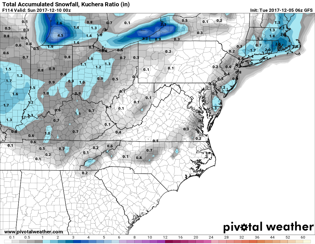
GFS potential snowfall accumulation through Saturday
Beyond that, the cold air looks to stick around into next week with highs in the mid 30s to mid 40s and overnight lows in the 20s. The pattern has definitely flipped to “winter-like” in the eastern US and looks to remain in place through most of the remainder of this month.
Want the latest blog posts emailed to you?