
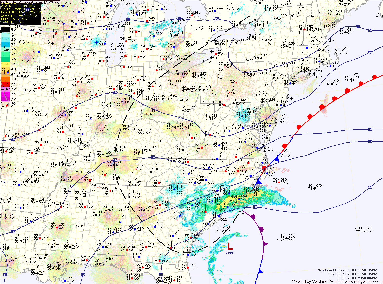
Summary: Low pressure just off of South Carolina will move away from the coast today as high pressure builds into the eastern US. The high will control the weather through Thursday. A cold front will likely move through on Friday with high pressure returning for the weekend.
The high will continue to build into the area tomorrow and will persist through Thursday with sunny skies and highs in the low to mid 70s each day.
A cold front will approach on Friday and slide through during the overnight hours. This front will be accompanied with showers that will move through during the late afternoon and evening hours.
The front should clear the area by early Saturday morning, allowing high pressure to begin to build back into the region. This will result in another stretch of dry and tranquil weather into next week. Highs will be in the mid to upper 60s both Saturday and Sunday.
Stay up to date with storm information on your favorite social media site!
Follow me on Twitter, Facebook and Google+!