
A cold front will remain in the area today and will push south of the area tonight. High pressure will briefly take control through tomorrow before the front moves back into the area Thursday while low pressure moves along it Thursday night and Friday.
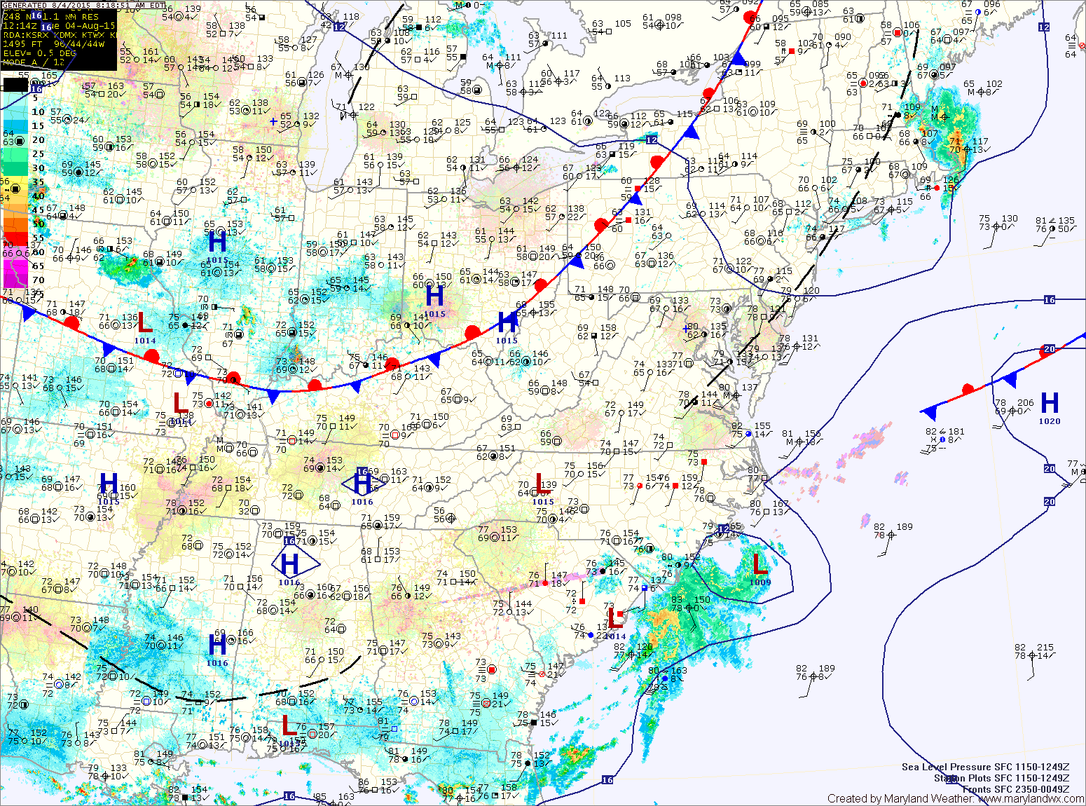
WEDNESDAY: High pressure will push the front to our south resulting in mostly sunny skies. Highs will be in the mid to upper 80s.
THURSDAY: The front will push back into our area during the day while an area of low pressure approaches from the south west. The low will move into the area late in the day, bringing showers and thunderstorms. Highs will be in the mid 80s.
FRIDAY: The low will continue to move through, pushing away from the area by the afternoon hours. Highs will be in the low 80s.
WEEKEND OUTLOOK: High pressure will build back in for the weekend. Highs will be low 80s both Saturday and Sunday.
Stay up to date with storm information on your favorite social media site!
Follow me on Twitter, Facebook and Google+!