
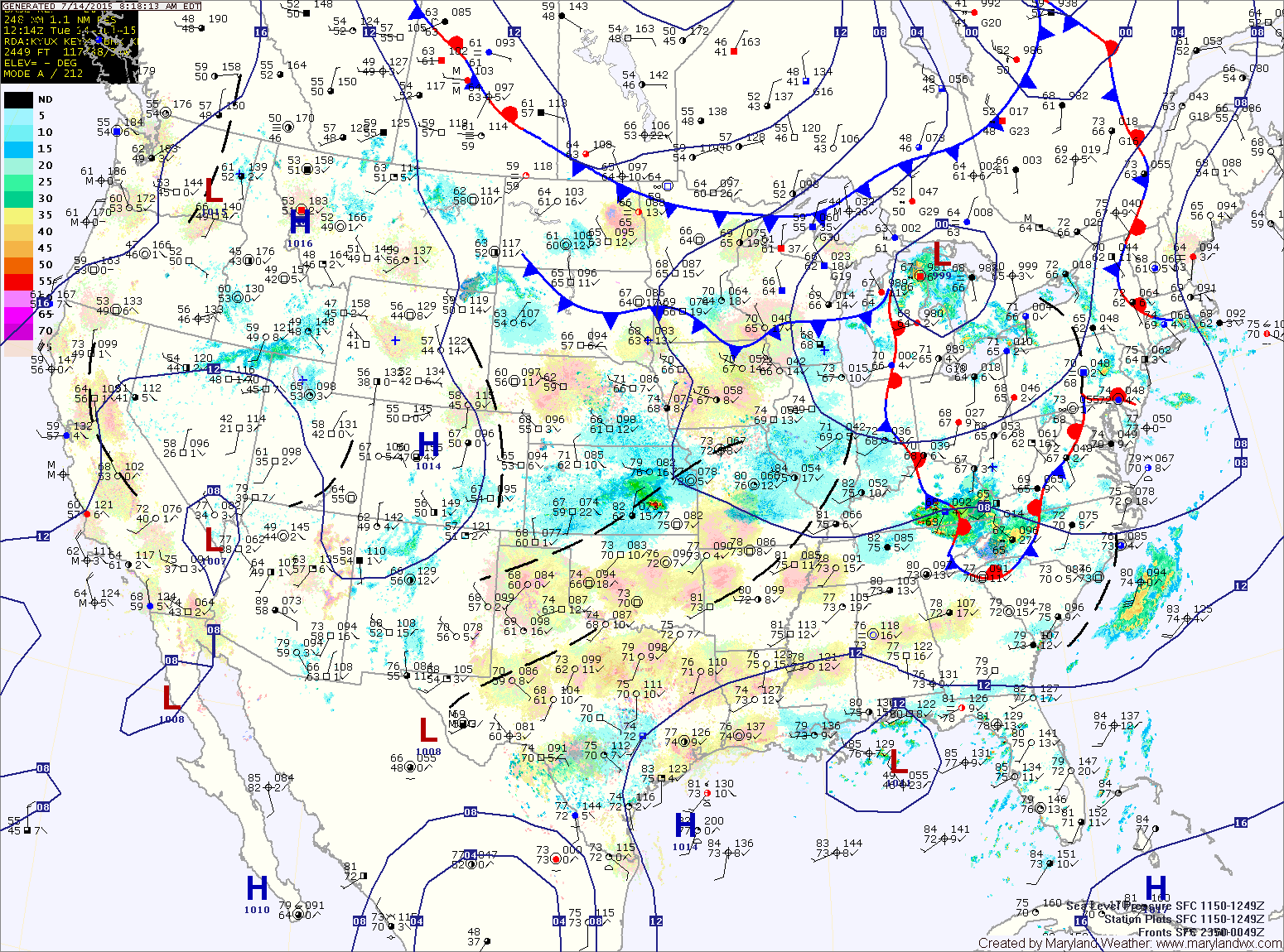
THE NATIONAL WEATHER SERVICE IN STERLING VIRGINIA HAS ISSUED A FLASH FLOOD WATCH
Areas Affected: Anne Arundel; Carroll; Central and Southeast Howard; Central and Southeast Montgomery; Frederick; Northern Baltimore; Northwest Harford; Northwest Howard; Northwest Montgomery; Prince Georges; Southeast Harford; Southern Baltimore
* FROM 2 PM EDT THIS AFTERNOON THROUGH LATE TONIGHT
* SCATTERED TO NUMEROUS THUNDERSTORMS WILL DEVELOP LATE TODAY INTO TONIGHT. THESE STORMS WILL BE SLOW MOVING AND CAPABLE OF
PRODUCING HEAVY RAINFALL. RAINFALL AMOUNTS OF 1 TO 2 INCHES WILL BE POSSIBLE IN AN HOUR. WITH SATURATED GROUND...THESE RATES COULD RESULT IN FLASH FLOODING.
* SMALL STREAMS AND URBAN AREAS WILL BE ESPECIALLY SUSCEPTIBLE TO RAPID RISES OF WATER ONTO NORMALLY DRY AREAS.
A frontal boundary will push through today ahead of a cold front that will move through late tonight. High pressure builds in Thursday and Friday with more unsettled weather expected this weekend.
TODAY: Scattered showers will be likely today with a better chance of showers and storms this evening as a cold front moves into the area. Some of the storms could produce gusty winds and locally heavy rainfall. Highs will be in the mid 80s.
WEDNESDAY: Some leftover showers will be possible as the system continues to move through. Rain chances will decrease through the day. Highs will be in the mid 80s.
THURSDAY: High pressure builds in, leading to drier conditions, mostly sunny skies and highs in the mid 80s.
FRIDAY: With high pressure still in control, expect another day of mostly sunny skies and highs in the mid 80s.
WEEKEND OUTLOOK: The high moves off of the coast allowing heat and humidity to build resulting in a chance of showers and thunderstorms both Saturday and Sunday with highs in the upper 80s both days.
Stay up to date with storm information on your favorite social media site!
Follow me on Twitter, Facebook and Google+!