
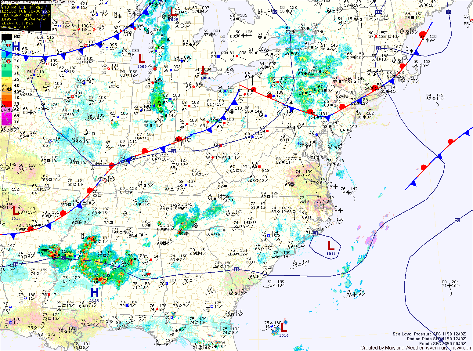
TODAY: With low pressure and a cold front to our west, southerly flow will continue. This will cause temperatures and humidity levels to rise today. The increased humidity will support scattered afternoon and evening thunderstorms across the state.
A few of these storms could become strong to severe, with damaging winds as the primary threat. Highs will be in the mid 80s.
The storms will decrease a bit in coverage and intensity after dark, but additional isolated showers and storms will be possible into the night.
WEDNESDAY: The cold front will move into the area, passing through during the afternoon hours. Expect a mainly dry passage, but an isolated shower or thunderstorm cannot be ruled out. Highs will be in the mid to upper 80s.
THURSDAY: An area of low pressure will likely develop along the front as it stalls out to our south. At this time, it looks as though most of Thursday should be dry, with showers and thunderstorms possible during the evening or after dark. Highs will be in the mid 80s. The best chances for rain activity will be across the southern portion of the state.
FRIDAY: Showers and thunderstorms will be possible as another wave of low pressure rides along the front. The exact placement and timing of the system will determine when and how it affects the state. The details of which will be figured out in the next day or so. Highs will be in the low to mid 80s.
WEEKEND OUTLOOK: Showers and thunderstorms will be possible both Saturday and Sunday. Highs will be in the mid 80s both days.
Stay up to date with storm information on your favorite social media site!
Follow me on Twitter, Facebook and Google+!