
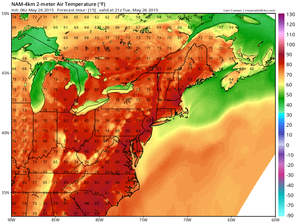
TODAY: Warm and humid conditions will lead to isolated showers and thunderstorms this evening, mainly west of I-95. Highs will be in the mid 80s.
WEDNESDAY: Continued warm and humid with a better chance of afternoon showers and thunderstorms across the entire state. Highs will be in the mid 80s.
THURSDAY: A weak front will will move into the region and interact with the warm and humid air resulting in more showers and thunderstorms. Highs will be in the mid 80s.
FRIDAY: Mostly sunny, warm and humid with isolated showers and thunderstorms. Highs will be in the mid 80s.
WEEKEND OUTLOOK: Expect a continuation of the warm and humid conditions with showers and thunderstorms possible Saturday afternoon as a cold front moves into the region. The front may stall out over the area Sunday, making showers and storms likely. Highs will be in the mid to upper 80s.
Stay up to date with storm information on your favorite social media site!
Follow me on Twitter, Facebook and Google+!