
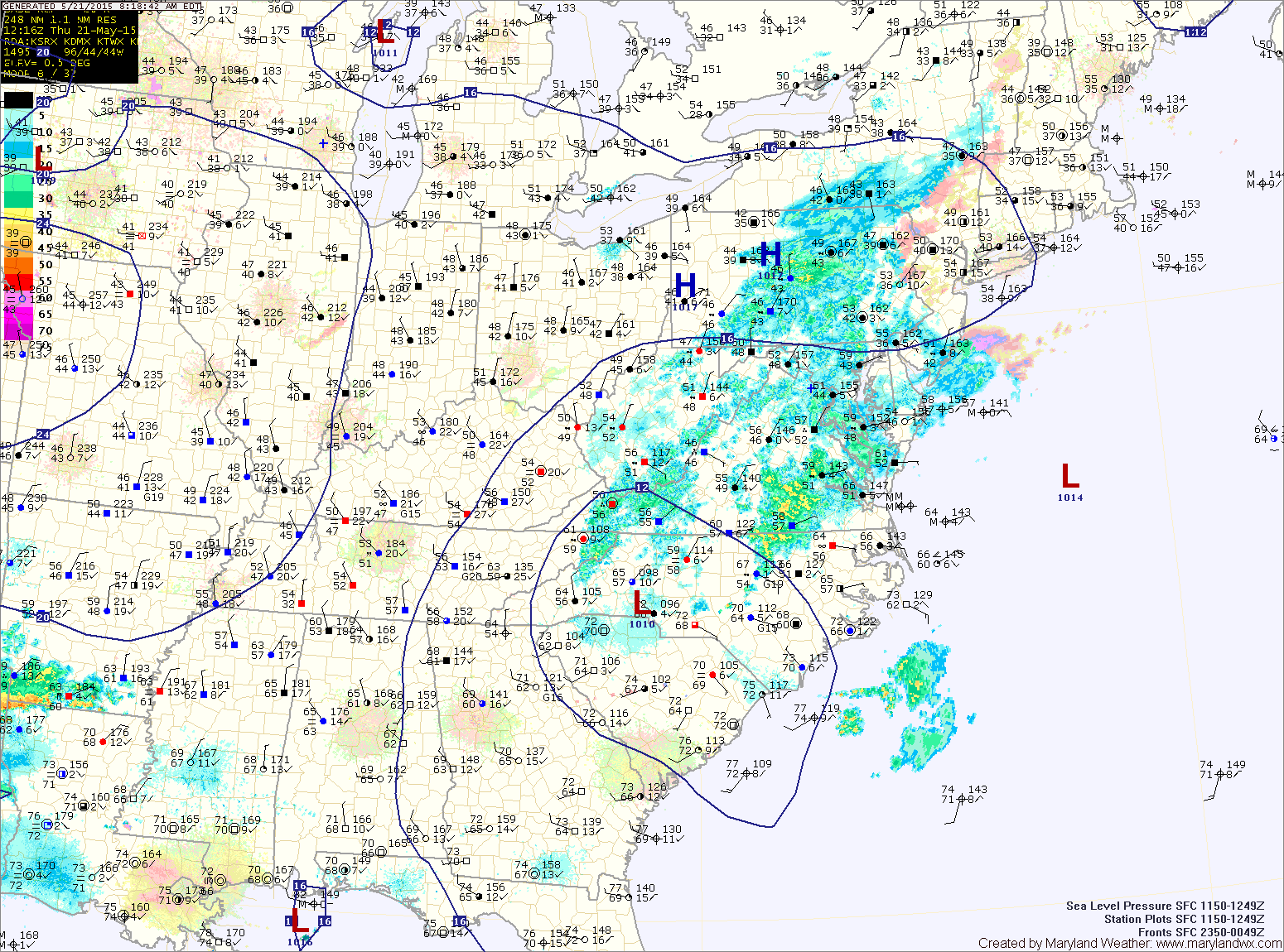
TODAY: Low pressure to our south is spreading light rain showers into our area. The showers will continue through this afternoon before tapering off and ending by this evening. It will be cloudy and cool, with highs in the low 60s.
FRIDAY: High pressure builds in and brings a return to mostly sunny conditions. Highs will be in the mid 70s.
SATURDAY: High pressure remains in control, resulting in sunny skies and highs in the low 70s.
SUNDAY: The high shifts off of the coast, creating southerly flow in our area. This will allow temperatures and humidity to climb, with highs in the low 80s under mostly sunny skies.
MEMORIAL DAY: The heat and humidity will continue to build. Highs will be in the mid to upper 80s with pop up showers and thunderstorms possible during the afternoon and evening hours.
OUTLOOK: With high pressure remaining off the coast, expect the heat and humidity to continue to build Tuesday and Wednesday. Highs may top 90° each day, with afternoon showers and thunderstorms possible.
Stay up to date with storm information on your favorite social media site!
Follow me on Twitter, Facebook and Google+!