
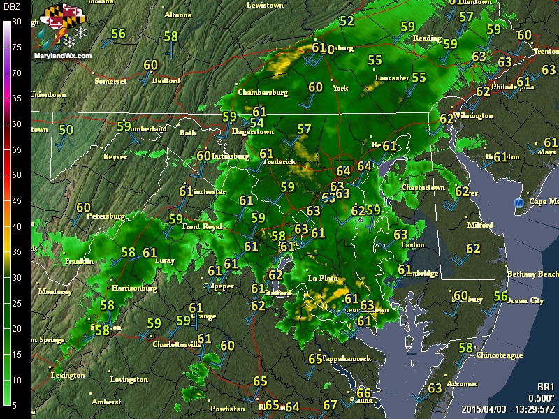
Waves of rainfall will continue through the day, possibly heavy at times. Additionally, thunderstorms are possible this afternoon and evening as the front moves closer. We will stay mild as gusty southwest winds continue to push warm air into the region. Highs today will be around 70°.
The rain will continue tonight, tapering off during the early morning hours tomorrow as the front crosses during that timeframe.
High pressure will build in, leading to decreasing clouds and cooler temperatures tomorrow. It will also be very windy, making it feel even colder. Highs will be in the low to mid 50s.
The winds will decrease tomorrow evening, leading to a clear and calm night. Lows will fall into the low to mid 30s across most areas.
Sunday is shaping up to be fairly pleasant, with mostly sunny skies and high temperatures around 60°. Calm winds are expected to become breezy during the afternoon as southerly flow increases ahead of the next storm system.
Monday will be dry, but another cold front will be approaching from the northwest. Highs will be in the upper 60s with increasing clouds through the day.
The middle to latter portion of next week looks unsettled, with a cold front slowly sliding south, into the area on Tuesday. Light showers are likely Tuesday through Thursday as the front remains in the area during this period.
Stay up to date with storm information on your favorite social media site!
Follow me on Twitter, Facebook and Google+!