
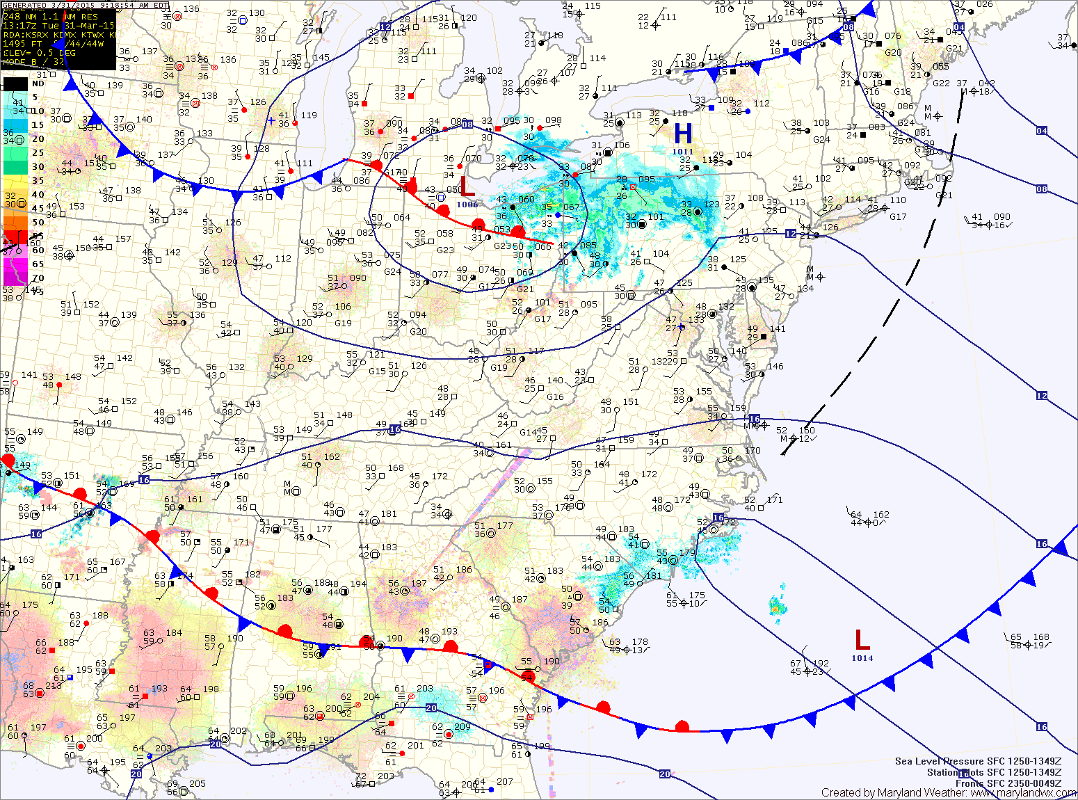
Scattered showers ahead of the system are pushing towards our area and will affect the state this afternoon. Southerly winds will gust to near 35mph, adding some instability to the atmosphere as well. This will in turn support isolated thunderstorms later this afternoon. Highs today will be in the upper 50s to low 60s.
The front will push through this evening, switching winds to the northwest and bringing in cooler and drier air. Highs tomorrow will be in the low to mid 50s under mostly sunny skies.
Southerly flow will increase on Thursday, ahead of the next storm system. As a result, warmer air will overspread the area. Highs will be in the upper 60s to low 70s under mostly sunny skies.
The next system will bring a cold front into the area on Friday. Showers are likely Friday afternoon through Saturday morning as the cold front passes through. Highs on Friday will be in the low 70s while highs on Saturday fall back into the upper 50s behind the front.
High pressure builds in late Saturday, leading to a mostly sunny Sunday. Highs will be in the upper 50s.
Stay up to date with storm information on your favorite social media site!
Follow me on Twitter, Facebook and Google+!