Snow likely late tomorrow into Tuesday

As the 12z model data comes in, the US models have come into agreement that an area of low pressure will develop and track to our south late tomorrow into Tuesday, spreading snow into our area.

GFS - 7am Tuesday morning
GFS – 7am Tuesday morning
The low will develop over eastern Texas and move eastward along the gulf coast states. It will then turn northeastward and head off the North Carolina coast. Both the GFS and NAM agree with this track and both show several hours of light to moderate snow for our area as a result. Both models have snow pushing into the state between 4 and 7pm tomorrow evening and then tapering off by late morning or early afternoon on Tuesday.

Both the GFS and NAM have about .25 to about .75″ of liquid precipitation from north to south across our state.

Total liquid precipitation - GFS
Total liquid precipitation – GFS
If this solution is correct, we would see somewhere in the order of 3″ of snow across northern Maryland to about 8″ of snow across southern Maryland on on the lower eastern shore.

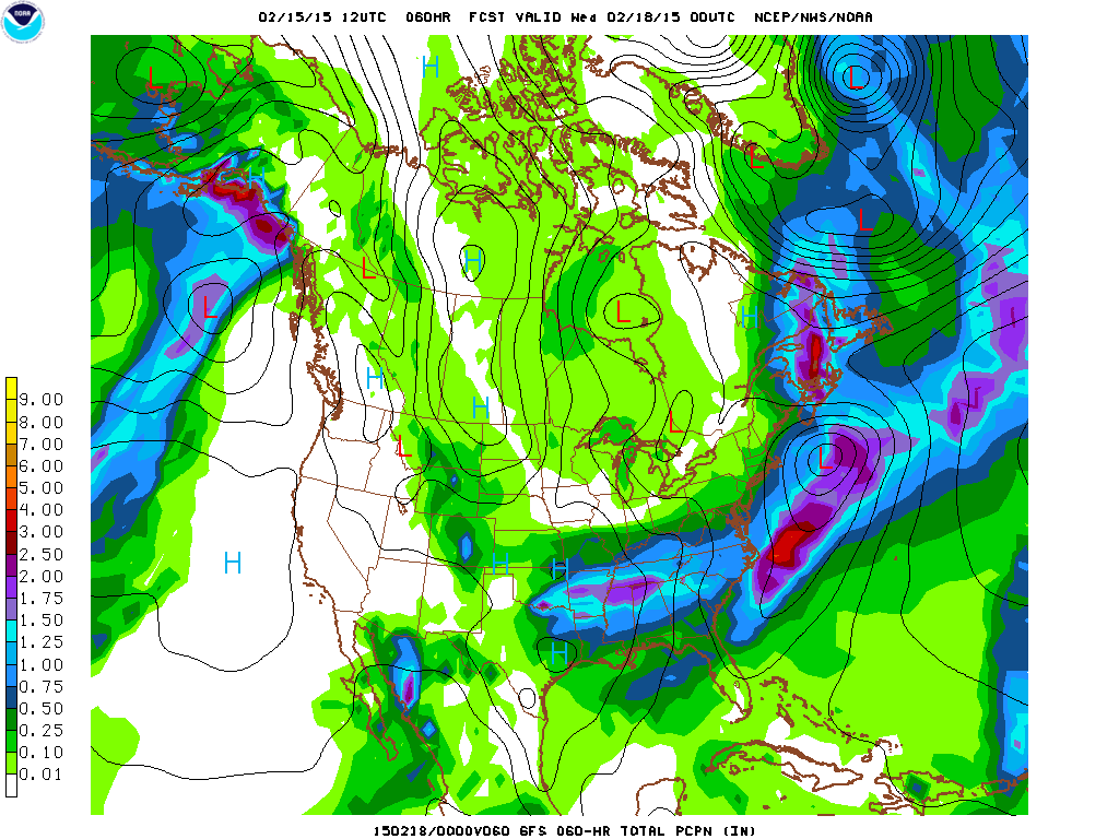
Now, while the US models agree, the European model (which *had* been the furthest south) began to shift the track to the north and last night’s run actually had the storm further north than both the NAM and GFS. If *this* solution is correct, snow totals would be higher across our area.

I will update the forecast again this evening and put out an initial snowfall map after seeing today’s European and the next runs of the NAM and GFS.