
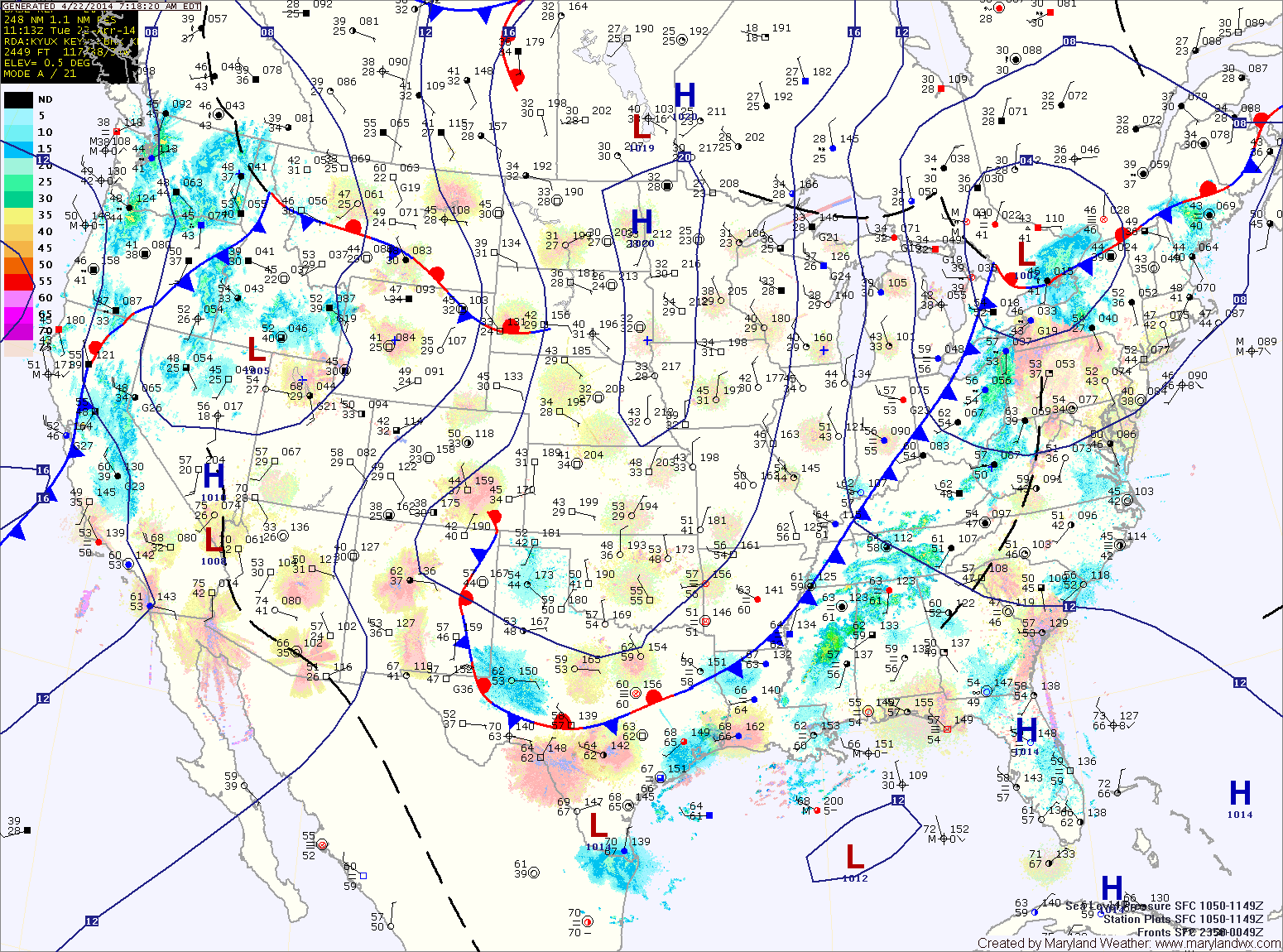
The rain should come to an end this evening or early tonight as the front clears the state from west to east. Behind the front, northwest winds will turn gusty during the overnight.
Tomorrow will see decreasing clouds, cooler temperatures and strong gusty winds. Highs will be in the low 60s and winds may gust to near 40mph.
Thursday will be mostly sunny, but still breezy. Highs will be in the mid 60s.
There is a slight chance of showers on Friday as another cold front passes through. Highs will be around 70.
Another front will pass through on Saturday, but should be mostly dry. Expect a mix of clouds and sun, with highs in the mid 70s.
The front will stall out to our south on Sunday, far enough south to allow for another dry day. Highs will be in the mid 60s.
Several areas of low pressure may develop along the stalled front early next week, bringing rain to the area for the first half of the week.
Yesterday’s Weather Station Stats:
High Temp: 68.2°
Low Temp: 32.4°
Rain: 0.00″